 Must see
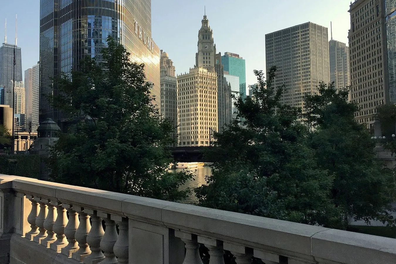
Photo by alusch on Openverse
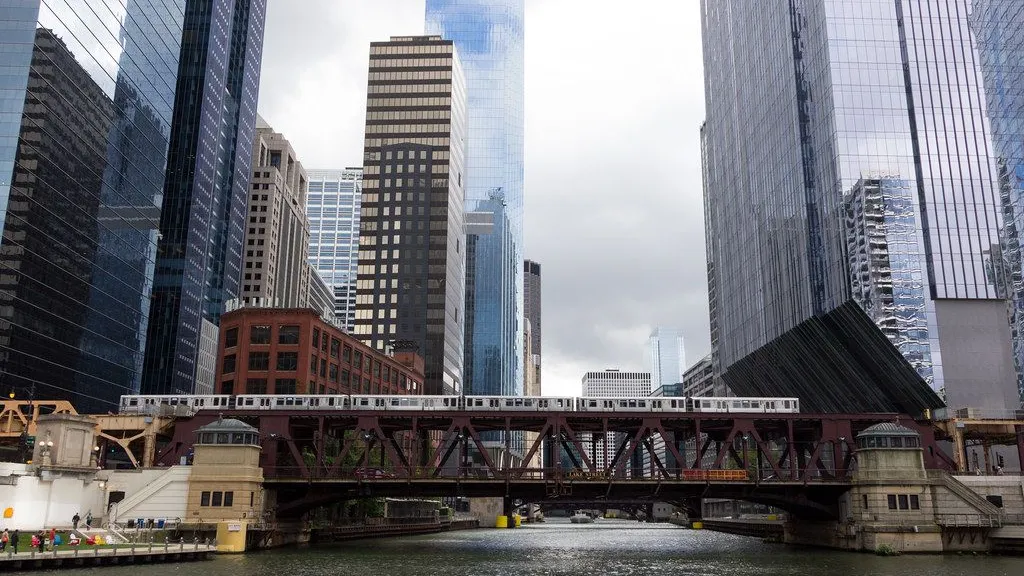
Chicago Riverwalk at Lake Street
Where the Riverwalk's western stretch meets the confluence. The Chicago River flows away from the lake here by design, a reversal engineered in 1900.
You are standing at the western end of the Chicago Riverwalk, where Lake Street crosses the main branch. The water moving past you is heading west, away from Lake Michigan. That direction is not natural. Until 1900, the Chicago River emptied into the lake, the same lake the city drank from. Sewage, slaughterhouse runoff, and stormwater all went into the river and straight into the drinking supply. Cholera and typhoid killed thousands.
The solution was the Chicago Sanitary and Ship Canal, a 28-mile channel dug from the South Branch to the Des Plaines River, on the far side of the continental divide and about 40 feet lower than Lake Michigan. It took eight years and the excavation of 42 million cubic yards of earth and rock. On January 2, 1900, workers breached an earthen dam on the South Branch, and gravity did the rest. The river reversed, and Chicago's sewage began flowing toward the Mississippi instead of the water intakes.
The Riverwalk itself came much later. Daniel Burnham imagined riverside promenades in his 1909 Plan of Chicago, but the first section did not open until the 1970s. This stretch was completed in 2016. Walk east along the water and you will see the city the river built, one bridge and tower at a time.