Chicago · Self-guided audio walk

Beer Barons to Bookshops: Wicker Park's Six Corners

A local's walk through the mansions, record shops, and taquerías that define this Chicago neighborhood.

  • 6Stops
  • 1.4 kmDistance
  • 25+ minTime
Beer Barons to Bookshops: Wicker Park's Six Corners

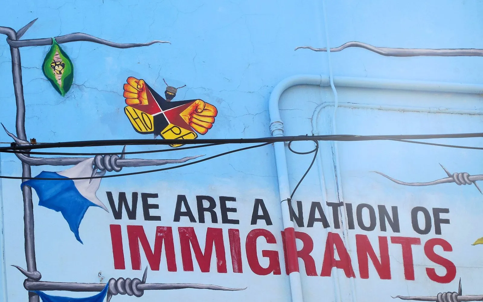
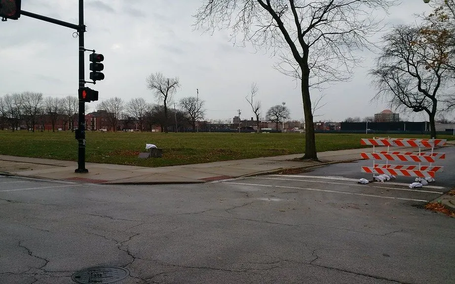
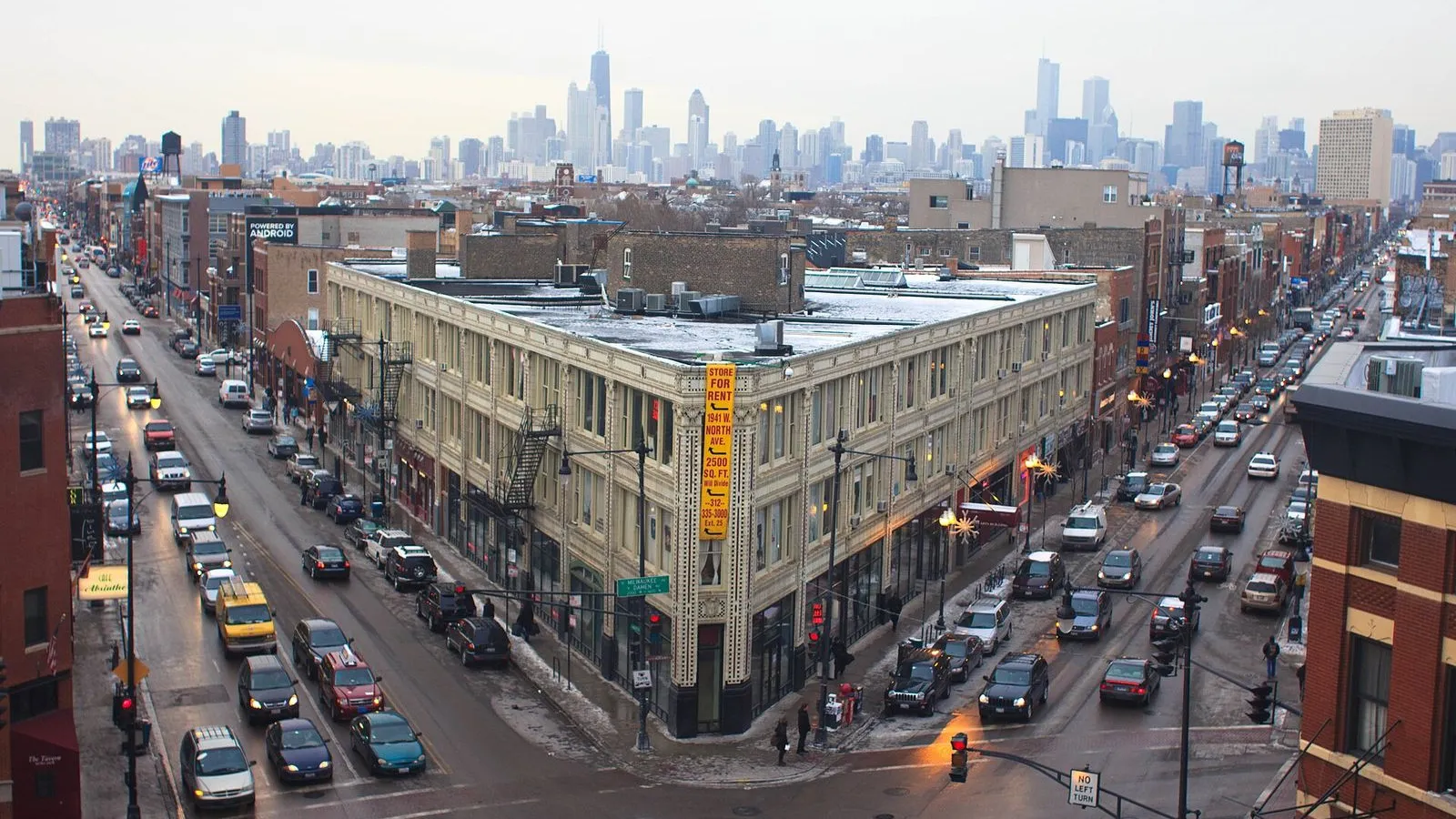
Photo by Ben Collins-Sussman on Wikimedia Commons

Before Wicker Park filled up with record shops and taquerías, it was built by German and Polish beer barons who raised mansions on Hoyne and Pierce. This walk starts at the six-corner intersection of Milwaukee, North, and Damen, where the Flat Iron Arts Building still holds artist studios behind its checkerboard terra cotta. From there you loop through the neighborhood's namesake park, stroll Beer Baron Row for Second Empire turrets and Queen Anne porches, then return along the Milwaukee Avenue storefronts where indie bookstores replaced the old hardware shops. The tour ends at the Robey, the 1929 Art Deco tower that still anchors the crossroads.

Hear it on the street

Get the turn-by-turn audio guide in the app. The narration plays itself as you reach each stop, hands-free and offline.

Stop by stop

The route

Interactive map of the route. The full stop list below works without it.

Six CornersMust see

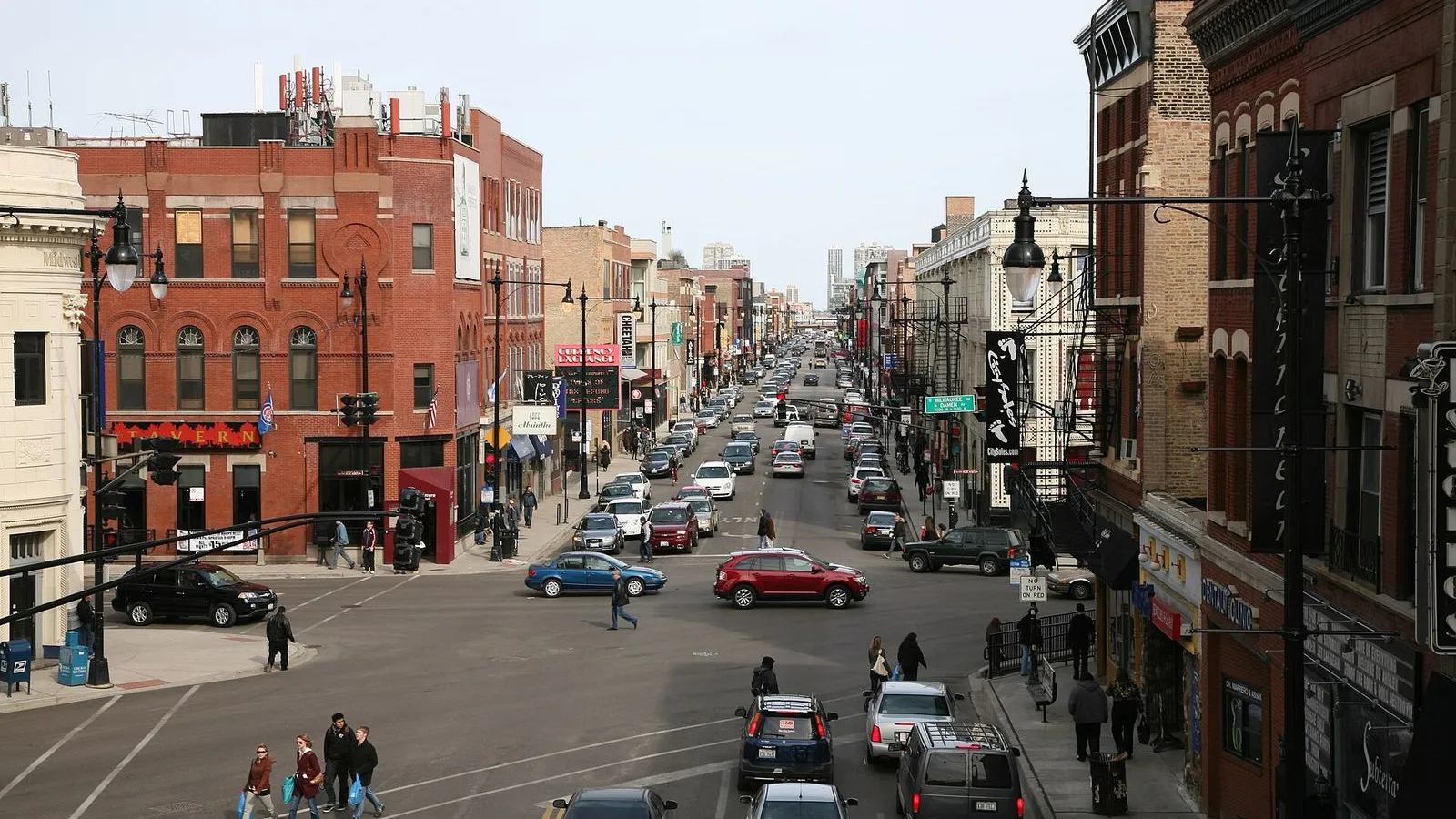
Photo by Daniel Schwen on Wikimedia Commons

Six Corners

0:00

Where Milwaukee, North, and Damen collide. The crossroads that has anchored Wicker Park since its earliest days.

You are standing at the six corners, where Milwaukee Avenue slices diagonally across North and Damen. This intersection has been the crossroads of this neighborhood since before Chicago was a city. Milwaukee Avenue began as a Native American trail, then became a plank toll road carrying farmers and tradesmen into town. When the Great Fire of 1871 sent Chicagoans looking for new homes, German and Scandinavian immigrants settled here, and this crossing became their commercial center.

In 1895 the elevated train arrived at Damen and North, cementing the intersection as a hub. The station is still here, part of the Blue Line, rattling overhead every few minutes. Look around. The wedge-shaped Flat Iron Arts Building faces you across Milwaukee.

The Art Deco Robey tower rises to the northwest. Shopfronts line every street radiating outward. This is not the official Six Corners of Chicago, a name that belongs to the Portage Park intersection farther out, but for decades locals here have called it the same thing. It is the kind of place where three streets meet and an entire neighborhood pivots around them.
≈1 min walk to the next stop
Flat Iron Arts BuildingMust see

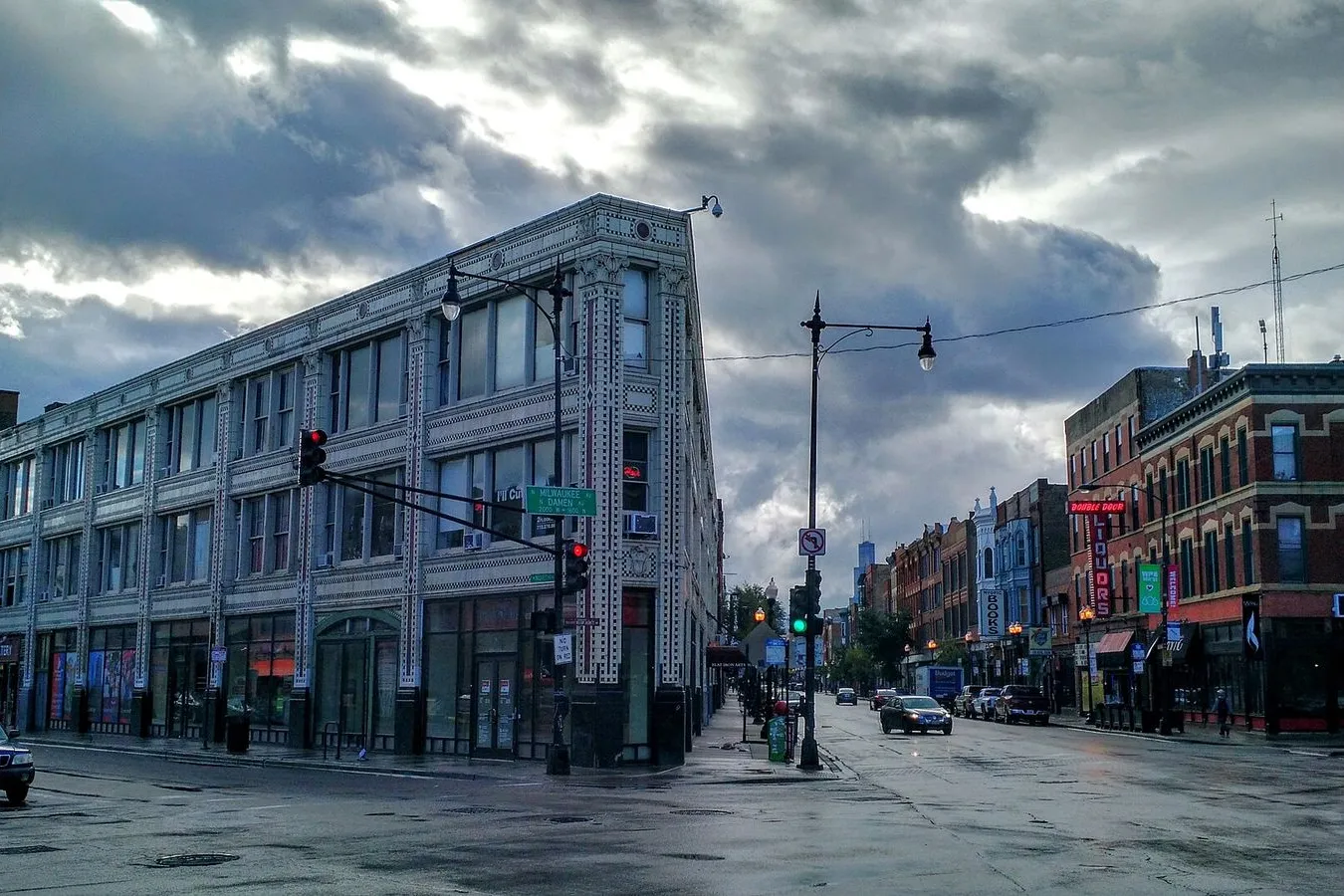
Photo by David Hilowitz from San Antonio, USA on Wikimedia Commons

Flat Iron Arts Building

0:00

Holabird & Roche's 1918 wedge, clad in checkerboard terra cotta. An office building turned artist colony at the six corners.

This is the Flat Iron Arts Building, designed by Holabird and Roche and built in 1918. The firm was one of the Chicago School pioneers who gave the city its first skyscrapers, but here they shaped a three-story wedge to fit the triangular lot carved out by the six corners. The facade is dressed in white glazed terra cotta with a checkerboard pattern of black and red, a flourish that has made this building a landmark for over a century. It opened as professional offices, with doctors and lawyers leasing rooms on the upper floors.

By the late 1960s the building had turned into something else entirely: an artist colony. Painters, sculptors, and musicians moved into the former offices, and for years the Flat Iron anchored Around the Coyote, an annual arts festival that took over the neighborhood each fall. The name came from the nearby Northwest Tower, which artists thought looked like a howling coyote. Walk closer and you can still see the pressed-tin ceilings through the ground-floor windows.

The building underwent a landmark tax-incentive rehabilitation in 2024 to restore the terra cotta and the lobby, but the studios upstairs remain working spaces for artists today.

≈5 min walk to the next stop
Wicker ParkMust see

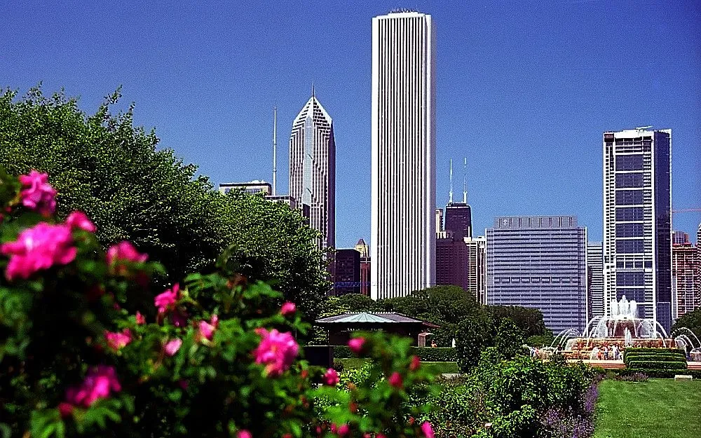
Photo by Adam Jones, Ph.D. on Wikimedia Commons

Wicker Park

0:00

The triangular green space donated by the Wicker brothers in 1870 that gave the neighborhood its name.

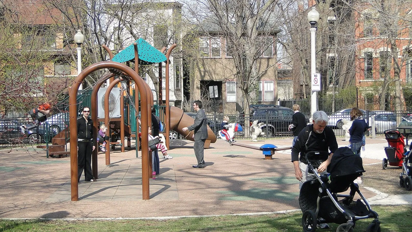
This triangular patch of green is Wicker Park itself, four acres donated to the city in 1870 by brothers Charles and Joel Wicker. They were developers and politicians who owned large tracts of land out here and understood that a park would make their surrounding lots more valuable. It worked. After the fire of 1871, wealthy German and Scandinavian families built mansions facing this park and along the streets radiating from it, creating one of Chicago's most architecturally rich residential districts.

The fountain in the center has been here since the 1890s, a cast-iron centerpiece that has watched the neighborhood cycle through immigration, decline, and renewal. In the mid-20th century the big houses were divided into rooming houses and the park fell into disrepair. By the 1980s artists and young professionals began restoring the old homes, and the park came back with them. Sit on a bench and take in the skyline view.

The downtown towers rise to the southeast, framed by the trees that give this neighborhood its name. The park is small, but it has always been the symbolic and geographic anchor of Wicker Park.

≈4 min walk to the next stop
Free preview ends here · stops 4 to 6 continue in the app

Beer Baron Row

A two-block stretch of Hoyne Avenue where German brewery owners built their mansions after the Great Fire of 1871.

in app

Milwaukee Avenue Shopfronts

The old hardware shops and bakeries are now indie bookstores, taquerías, and record shops along Milwaukee Avenue.

in app

The Robey

A 1929 Art Deco skyscraper, once the Northwest Tower, now a boutique hotel anchoring the six corners.

in app
Good to know

Before you go

What is Six Corners?

Six Corners is the intersection where Milwaukee, North, and Damen Avenues meet, the crossroads that anchors Wicker Park. The Flat Iron Arts Building sits at its point.

Can I visit Beer Baron Row from the sidewalk?

Yes. The mansions along Hoyne Avenue are private homes, so you view the Second Empire turrets and Queen Anne porches from the street. Stay on the sidewalk and do not enter the yards.

Provenance · last verified August 21, 2026

Built from the Wayside route itself: the stops, their order, and the walk between them.

Photo by Ben Collins-Sussman on Wikimedia Commons · CC BY 2.0

Photo by Daniel Schwen on Wikimedia Commons · CC BY-SA 4.0

Photo by David Hilowitz from San Antonio, USA on Wikimedia Commons · CC BY 2.0

Photo by Adam Jones, Ph.D. on Wikimedia Commons · CC BY-SA 3.0

Photo by Acediscovery on Wikimedia Commons · CC BY 4.0

Photo by Chicago Running Tours & more on Openverse · CC BY 2.0

Photo by artistmac on Openverse · CC BY-SA 2.0

Photo by Ryan Dickey from Evanston, IL / Chicago, United States on Wikimedia Commons · CC BY 2.0

Photo by Ranjit Souri on Unsplash

Photo by artistmac on Openverse · CC BY-SA 2.0

Photo by David Paul Ohmer on Openverse · CC BY 2.0

Coming soon

Wayside isn't in the app stores yet, but it's in the works. Check back soon.