Self-guided walking tours in San Francisco
8 walking toursCalifornia, United States

Photo by Andrew Whitmore on Unsplash
San Francisco sits on a forty-nine-square-mile thumb of land between the Pacific and the bay. On foot the city reveals itself block by block: a cable car grinding up Nob Hill, murals in a Mission alley, the Golden Gate appearing through fog at the end of a long promenade. The hills are real, but every climb earns a view of water or neighborhoods with no two blocks alike.
- ItineraryOne day in San FranciscoFrom the Ferry Building clock tower to the crookedest street in the world, threaded through Chinatown's incense-filled alleys and the Beat bars of North Beach.
- Know before you goSan Francisco practicalitiesHow to get from the airport to downtown on BART, what a cable car actually costs, when the fog lifts, and why you need to book Alcatraz before you leave home.
Tours in San Francisco
 The local mix
The Waterfront Reclaimed
A flat, bay-hugging promenade from the Ferry Building to Ghirardelli Square, tracing what opened up when the Embarcadero Freeway came down.
 The hidden side
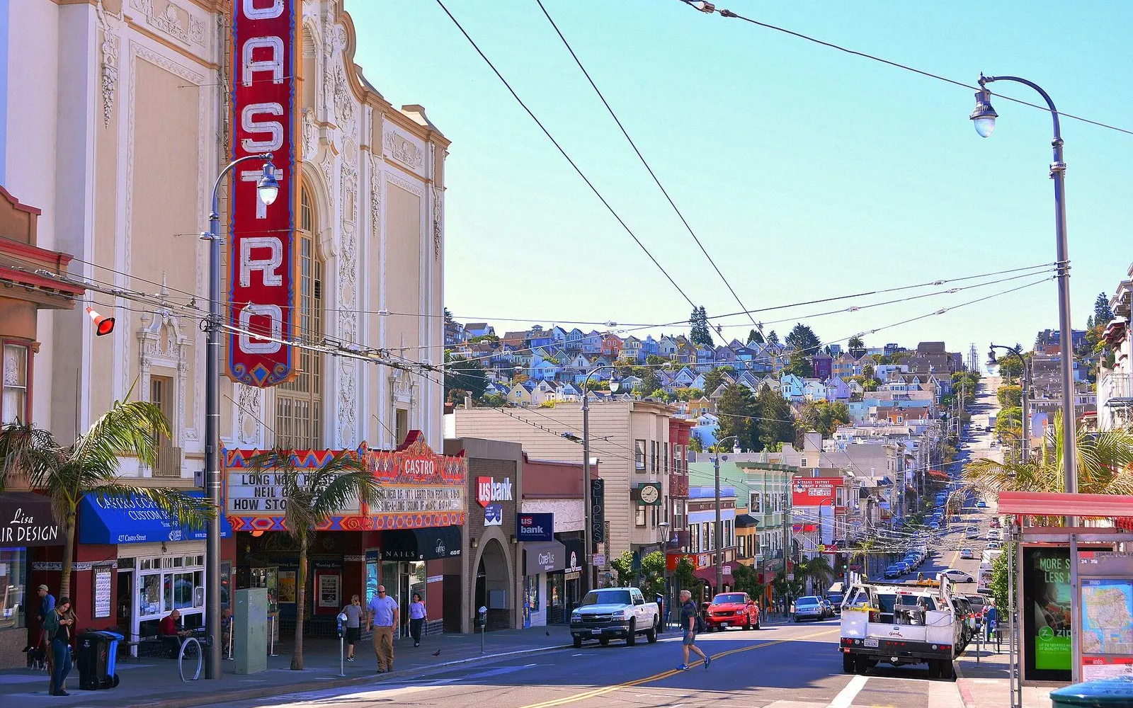
The Mayor of Castro Street
Walk the blocks where Harvey Milk turned a camera shop into a movement and the Castro became the heart of gay San Francisco.
 The hidden side
Alleys and Incense: The Real Chinatown
Behind the souvenir shops, a living neighborhood of temples, mahjong games, and hand-folded fortune cookies.
 The hidden side
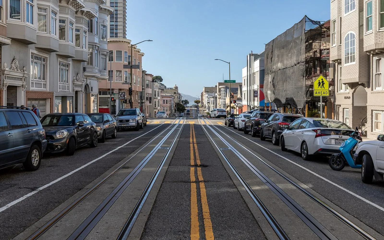
Cables to Crooked Lanes
From the powerhouse that pulls every cable car up Nob Hill to the eight hairpin turns of Lombard Street, a walk across two of San Francisco's steepest hills.
 The local mix
Crissy Field to the Golden Gate
A flat shoreline walk past a restored marsh, a brick fort, and onto the bridge itself.
 The hidden side
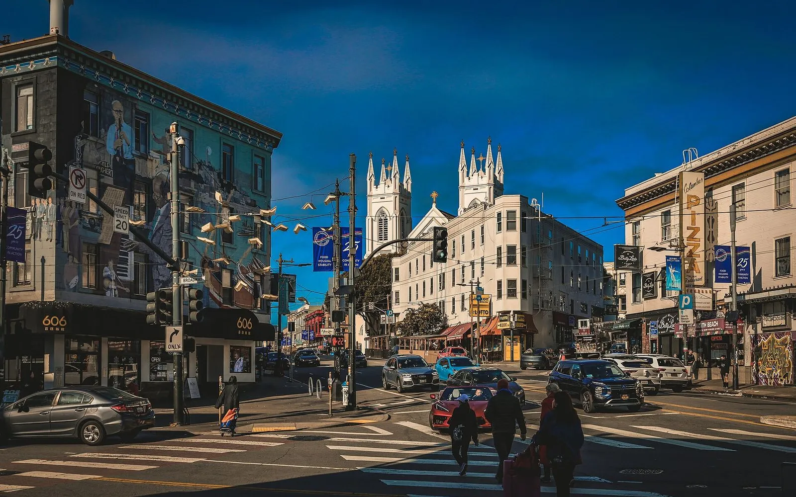
North Beach: From Beats to Parrots
A walk through San Francisco's literary soul, from the bookstore that won the Howl trial to the wild parrots of Telegraph Hill.
 The essentials
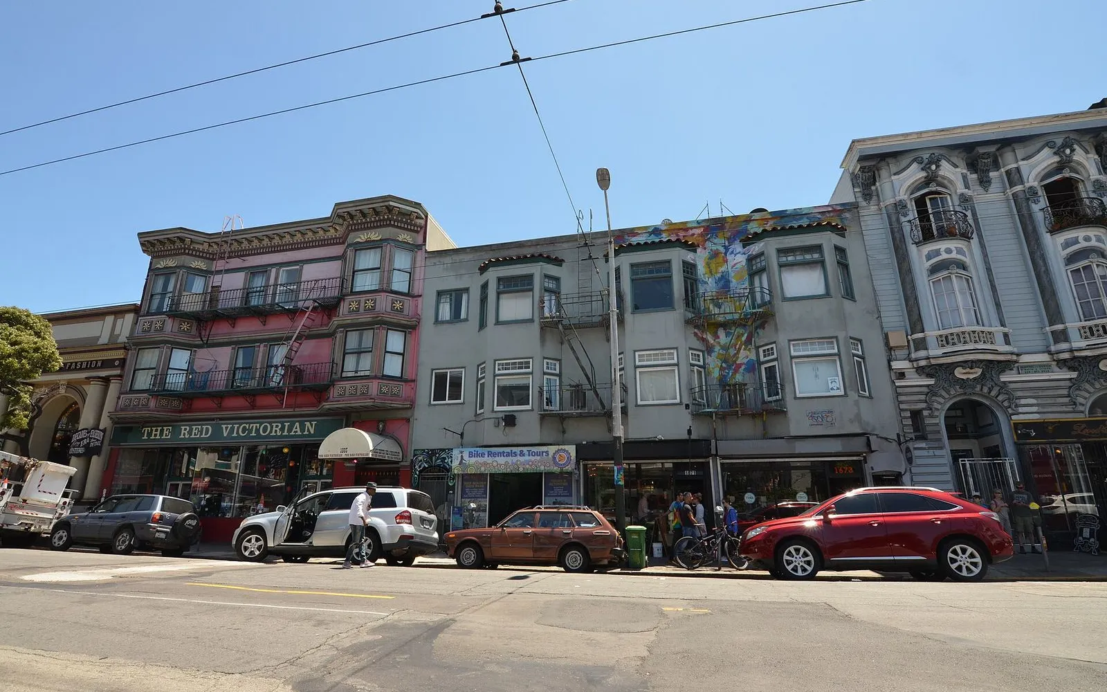
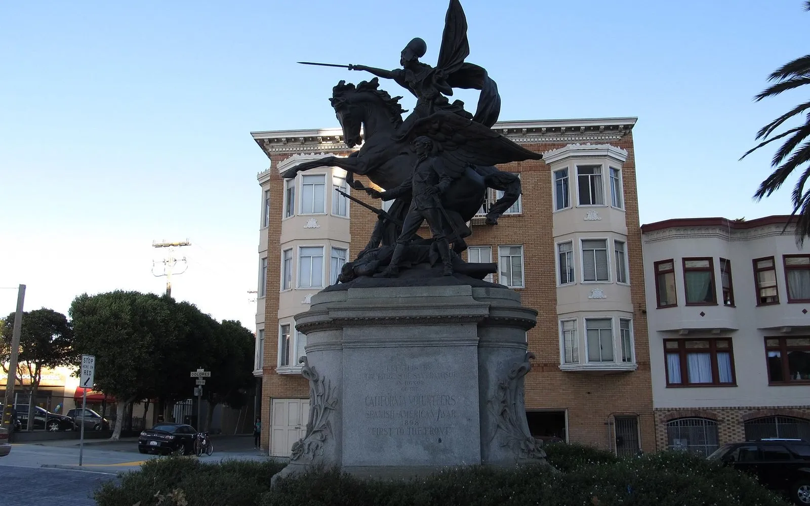
Haight-Ashbury: Stones, Song, and Victorians
Walk the Haight from its famous psychedelic corner through its oldest park to the city's most photographed row of houses.
 The hidden side
Murals & Memory: A Mission District Walk
From the city's oldest building to its most famous alley of murals, this walk traces San Francisco's deepest creative and historical roots.
What you'll see
54 stops mapped across 8 walking tours in San Francisco. A few of the places the routes take you past:
- Ferry Building
- Pier 7
- Exploratorium
- Pier 39
- Hyde Street Pier
- Aquatic Park
- Ghirardelli Square
- Harvey Milk Plaza
- Castro Camera
- Castro Theatre
- Rainbow Honor Walk
- Pink Triangle Park
Before you go
What is the best time of year to visit San Francisco?
September and October are San Francisco's warmest, sunniest months. Summer (June through August) brings fog, especially to the western neighborhoods and the Golden Gate Bridge. Winter is mild and rainy, with daytime temperatures in the 50s. Spring is unpredictable but often clear. The city's microclimates mean you can start a walk in sunshine downtown and hit cold fog at the bridge 45 minutes later. No month is a bad month if you bring layers.
SourceSF Travel weather guideHow do I get around San Francisco without a car?
San Francisco is one of the best American cities for car-free travel. Muni buses and light rail cover the entire city. The historic F-line streetcar runs along the Embarcadero from the Castro to Fisherman's Wharf. BART connects downtown to the East Bay and both airports. Cable cars serve three routes through Nob Hill and Russian Hill. Rideshare is abundant. Walking is the best way to experience the compact northeastern neighborhoods. A Clipper Card works on all Bay Area transit except cable cars (though you can load a Muni passport onto it). A one-day Muni Visitor Passport costs $15 and includes unlimited rides on Muni buses, trains, and cable cars.
SourceSFMTA visitor guideIs San Francisco safe to walk around?
The neighborhoods on this itinerary (the Embarcadero, North Beach, Chinatown, Nob Hill, Russian Hill) are safe to walk during the day and into the evening. Like any large city, San Francisco has property crime, so keep your phone and wallet secure and do not leave anything visible in a parked car. The Tenderloin, a few blocks southwest of Union Square, has a high concentration of homelessness and open drug use and is best avoided on foot, especially after dark. Stick to the main streets and you will have no issues.
Do I need cash in San Francisco?
Most places accept cards and contactless payment. A few Chinatown bakeries and small dim sum shops are cash-only. The fortune cookie factory on Ross Alley asks for a small tip for photos. Cable cars accept exact cash ($9) or a Clipper card loaded with a Muni passport. Carry $20 to $40 in small bills for the day.
What neighborhood should I stay in for a short visit?
Union Square, the Financial District, and the Embarcadero put you within walking distance of the start of this itinerary. North Beach and Fisherman's Wharf are closer to the waterfront and the northern neighborhoods but farther from BART and the airport connections. Nob Hill is quiet, elegant, and central. The Mission and the Castro are vibrant and well-connected by transit but sit south of the main walking loop. For a single night, anywhere between Market Street and the bay works.
Can I walk across the Golden Gate Bridge?
Yes. The east sidewalk of the Golden Gate Bridge is open to pedestrians daily. Hours are 5:00 a.m. to 9:00 p.m. during Pacific Daylight Time (mid-March to early November) and 5:00 a.m. to 6:30 p.m. during Pacific Standard Time (early November to mid-March). The walk across is free. The bridge is about three miles from Fisherman's Wharf, so it requires a bus or rideshare to reach from the itinerary route.
SourceGolden Gate Bridge pedestrian access
Walk San Francisco
Get the audio guide in the app.
The one-day San Francisco plan that works, built by people who walk it.
More cities in the United States
Provenance · last verified August 8, 2026
Built from the Wayside walking tours in this city and the stops they cover.
Photo by Andrew Whitmore on Unsplash
Photo by Leo_Visions on Unsplash
Photo by Mike McBey on Wikimedia Commons · CC BY 2.0
Photo by Adam Dillon on Unsplash
Photo by Dietmar Rabich on Wikimedia Commons · CC BY-SA 4.0
Photo by Cedric Letsch on Unsplash
Photo by Ligocsicnarf89 on Wikimedia Commons · CC BY 4.0
Photo by Steven Lek on Wikimedia Commons · CC BY-SA 4.0
Photo by Ken Lund from Reno, Nevada, USA on Wikimedia Commons · CC BY-SA 2.0