San Francisco · Self-guided audio walk

Crissy Field to the Golden Gate

A flat shoreline walk past a restored marsh, a brick fort, and onto the bridge itself.

  • 6Stops
  • 4.5 kmDistance
  • 65+ minTime

This walk follows the Golden Gate Promenade from East Beach to the Golden Gate Bridge, nearly three miles round trip on flat ground with one climb at the end. You start where a military airfield once stood and cross a tidal marsh that was buried for a century before being brought back to life. The path passes the Warming Hut, a 1909 storehouse turned café, then reaches Fort Point, a brick Civil War-era fort tucked directly beneath the bridge's south approach span. From its roof you can stand under the roadway. Stairs lead up to the Welcome Center, and from there you step onto the bridge's east sidewalk and walk out toward the south tower, the International Orange steel filling the sky above you.

Hear it on the street

Get the turn-by-turn audio guide in the app. The narration plays itself as you reach each stop, hands-free and offline.

Stop by stop

The route

Interactive map of the route. The full stop list below works without it.

East BeachLocal pick

Photo by Guilhem Vellut from Annecy, France on Wikimedia Commons

East Beach

0:00

The eastern end of Crissy Field, a sandy beach with views across the bay to Alcatraz and Angel Island. The Golden Gate Promenade starts here.

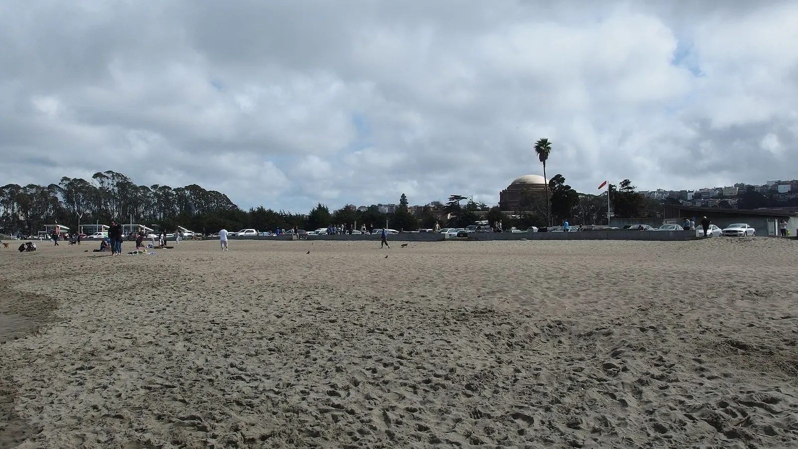
You're standing on East Beach, the eastern edge of Crissy Field. Ahead of you, the Golden Gate Promenade stretches west for a mile and a half, flat and paved, with the bay on your left and a wide grassy lawn on your right. Straight ahead, still distant, the Golden Gate Bridge rises between the headlands. This spot has been a shoreline for thousands of years.

The Ramaytush Ohlone gathered shellfish here and held ceremonies on the sand; archaeologists found a shellmound nearby that dates back to 740 AD. In 1915, the city filled the tidal marsh behind you to host the Panama-Pacific International Exposition, a world's fair that drew 18 million visitors. After the fair closed, the army turned the fill into an airfield named for Major Dana Crissy, who died on a transcontinental flight in 1919. For most of the twentieth century this was a working military base.

By the 1990s it was a derelict concrete lot. The restoration you see around you, completed in 2001, removed 87,000 tons of hazardous material and rebuilt the dunes, the marsh, and the beach. When you're ready, face the bridge and follow the paved path west. The tidal marsh will open on your left in a few minutes.
≈8 min walk to the next stop
Crissy MarshLocal pick

Photo by Guilhem Vellut from Annecy, France on Wikimedia Commons

Crissy Marsh

0:00

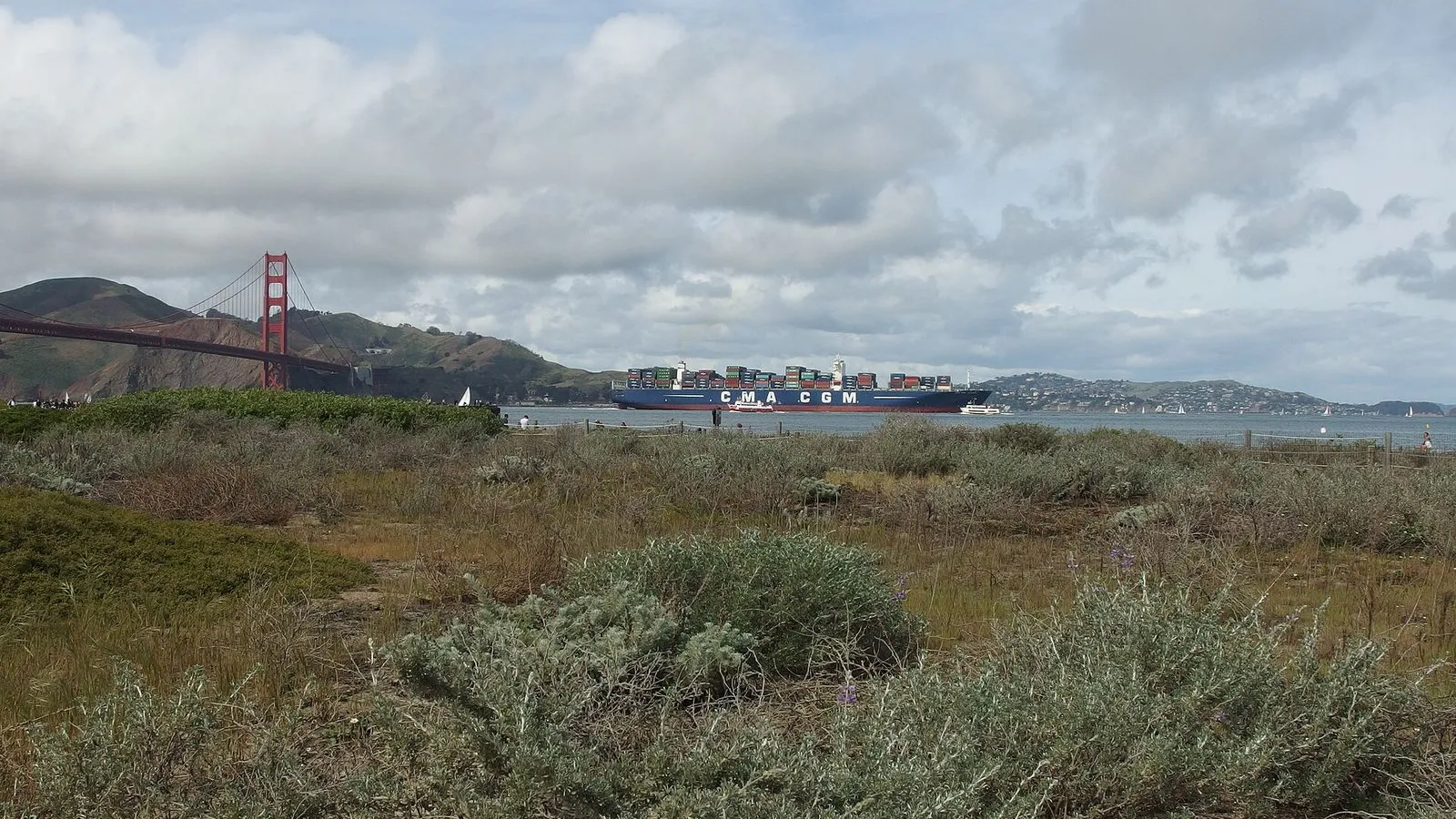
An 18-acre restored tidal wetland where fresh water from the Presidio meets the salt water of the bay. A boardwalk crosses the marsh; nearly 100 bird species stop here on the Pacific Flyway.

The marsh in front of you did not exist twenty-five years ago. This was asphalt. The army had paved over the original wetlands decades earlier, and when the National Park Service took over in 1994, the site was a contaminated brownfield. Between 1998 and 2000, crews excavated 230,000 cubic yards of fill, removed 87,000 tons of hazardous waste, and dug a channel to reconnect this basin to the bay.

In November 1999, the tide flowed in for the first time in a hundred years. The birds came back almost immediately. Before the channel was even finished, shorebirds that had not been seen here in decades began stopping on their migration. Today, herons stalk the shallows, egrets pick along the mudflats, and ducks dabble in the open water.

More than a hundred species have been recorded. The marsh is a rest stop on the Pacific Flyway, the migratory highway that runs from South America to the Arctic. Walk out onto the boardwalk if you like. Look for the small fish called jack smelt flicking near the surface, or the holes in the mud that mark where bay shrimp and crabs burrow.

When you're ready to move on, continue west on the promenade. The Warming Hut is about ten minutes ahead.

≈22 min walk to the next stop
Warming HutLocal pick

Photo by -Marlith- on Openverse

Warming Hut

0:00

A 1909 wood-frame storehouse turned café and bookstore at the western edge of Crissy Field. Hot drinks, park gifts, and a clear view of the Golden Gate Bridge.

You're at the Warming Hut, a 1909 structure that began life as a US Army Engineer Storehouse. During both world wars it held mines. When Crissy Field was restored in 2001, the building was lifted by crane so a new foundation could be poured beneath it. The floor inside is fir salvaged from a tree-thinning project in Oregon.

The insulation in the walls is ground-up denim from old jeans. About half the original wood was saved and reused. Step inside for a coffee or a look at the historical photos on the walls. The café menu was developed by Alice Waters of Chez Panisse.

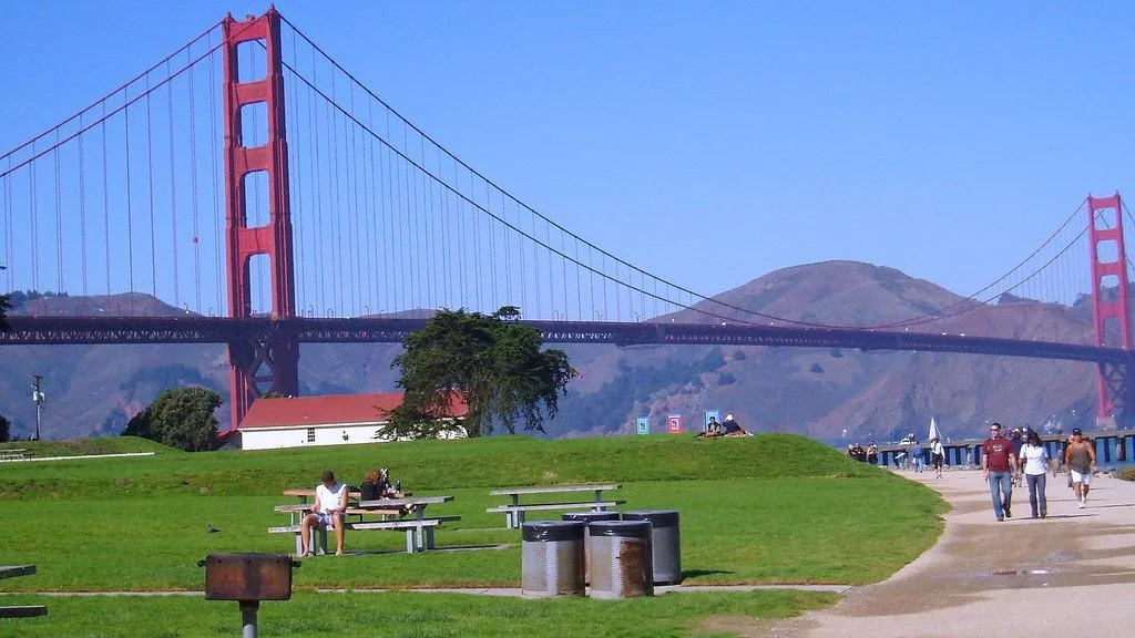
All proceeds support the Golden Gate National Parks Conservancy. From the deck outside, you can see Alcatraz to the east and the Golden Gate Bridge to the west. The fort you can make out at the base of the bridge is your next stop. When you're ready, follow the promenade as it curves toward the bridge.

Fort Point is about seven minutes ahead.

≈10 min walk to the next stop
Free preview ends here · stops 4 to 6 continue in the app

Fort Point

A brick Civil War-era fort completed in 1861, tucked directly under the southern approach of the Golden Gate Bridge. Climb to the roof and stand beneath the roadway.

in app

Golden Gate Bridge Welcome Center

The visitor center at the south end of the bridge. Exhibits tell the story of the bridge's construction from 1933 to 1937. Restrooms and a gift shop.

in app

Golden Gate Bridge East Sidewalk

Step onto the bridge's east sidewalk and walk toward the south tower. The International Orange steel fills the sky; the water is 220 feet below.

in app
Good to know

Before you go

Can I walk the entire Golden Gate Bridge?

Yes. The bridge is 1.7 miles long from tower to tower. Walking the full length and back takes about an hour. The east sidewalk is open to pedestrians from 5:00 a.m. to 9:00 p.m. during daylight saving time and until 6:30 p.m. during standard time. There is no fee. Dress warmly: the bridge wind is cold even on a sunny day.

SourceGolden Gate Bridge pedestrian access
Is Fort Point worth visiting?

Fort Point is a brick Civil War-era fort tucked directly beneath the south approach of the Golden Gate Bridge. Admission is free. Climb to the roof and you stand directly under the bridge roadway, the International Orange steel arcing overhead. The fort is open Thursday through Monday, 10:00 a.m. to 5:00 p.m., closed Tuesday and Wednesday.

SourceFort Point NPS

Provenance · last verified August 18, 2026

Built from the Wayside route itself: the stops, their order, and the walk between them.

Photo by Cedric Letsch on Unsplash

Photo by Guilhem Vellut from Annecy, France on Wikimedia Commons · CC BY 2.0

Photo by Guilhem Vellut from Annecy, France on Wikimedia Commons · CC BY 2.0

Photo by -Marlith- on Openverse · CC BY 2.0

Photo by Leo_Visions on Unsplash

Photo by Mike McBey on Wikimedia Commons · CC BY 2.0

Photo by Adam Dillon on Unsplash

Photo by Dietmar Rabich on Wikimedia Commons · CC BY-SA 4.0

Photo by Ligocsicnarf89 on Wikimedia Commons · CC BY 4.0

Photo by Steven Lek on Wikimedia Commons · CC BY-SA 4.0

Photo by Ken Lund from Reno, Nevada, USA on Wikimedia Commons · CC BY-SA 2.0

Coming soon

Wayside isn't in the app stores yet, but it's in the works. Check back soon.