Self-guided walking tours in Boston
7 walking toursMassachusetts, United States

Photo by Sean Sweeney on Unsplash
Boston packs its history into a small, walkable peninsula and the neighborhoods that grew around it. A painted red line ties the Revolution's meetinghouses and burying grounds to the North End's Italian bakeries, while the Back Bay's Victorian grid opens into a park-lined boulevard and a harbor walk runs past old wharves to new galleries. On foot, you move from 18th-century brick to 21st-century waterfront within an hour.
- ItineraryOne day in BostonBeacon Hill at dawn, the Freedom Trail by midday, cannoli in the North End, and a climb over Boston Harbor by evening.
- Know before you goBoston practicalitiesThe practical Boston briefing: a free Silver Line ride from Logan, tap-to-pay on the T, a 14.95 percent hotel tax, and the months when the Freedom Trail is at its best.
Tours in Boston
 The local mix
Harborwalk to the Seaport
Seals, a wharf arch, a tea party, and the harbor's newest glass edge, all on one waterfront walk.
 The essentials
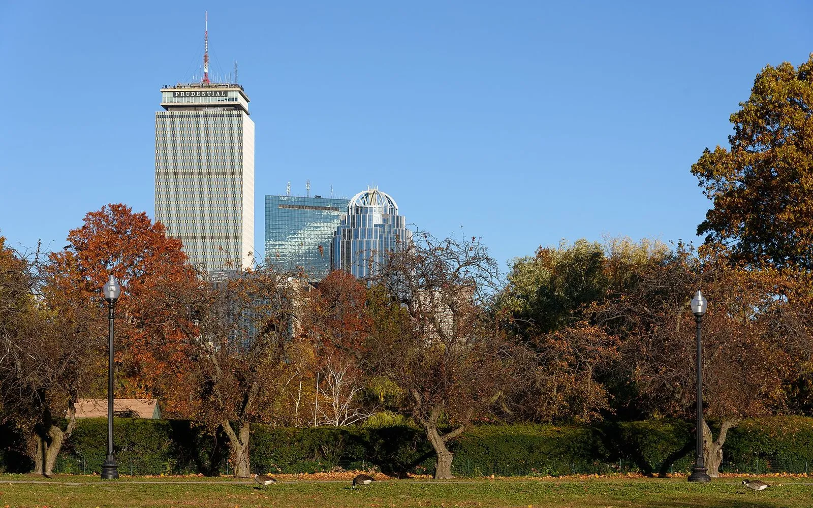
South End Brownstones and SoWa
Brick bowfronts, a round Cyclorama, and the old factories where Boston's artists now work.
 The essentials
Fenway Ballpark and Museum Walk
From the Green Monster to a Venetian palace, this walk links Boston's ballpark heart with two of its great museums.
 The essentials
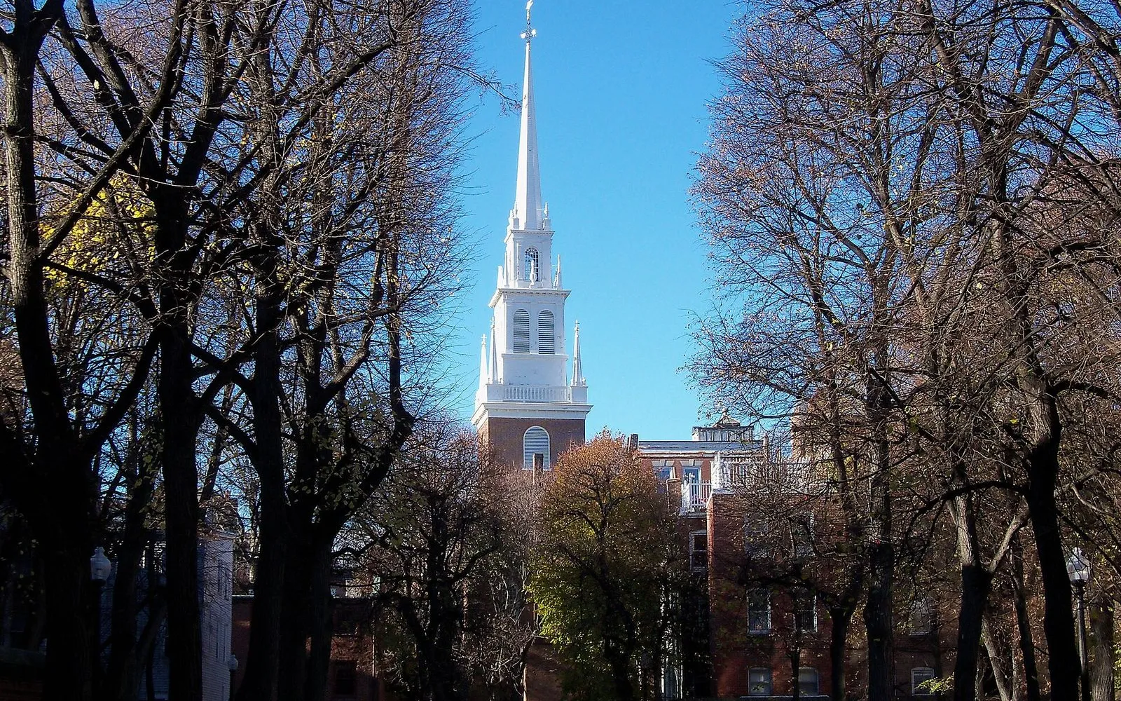
Downtown Freedom Trail Walk
The downtown blocks where Boston argued its way into a revolution.
 The essentials
North End to Bunker Hill
Espresso and cannoli, two signal lanterns, a fighting frigate, and a 294-step climb above Charlestown.
 The essentials
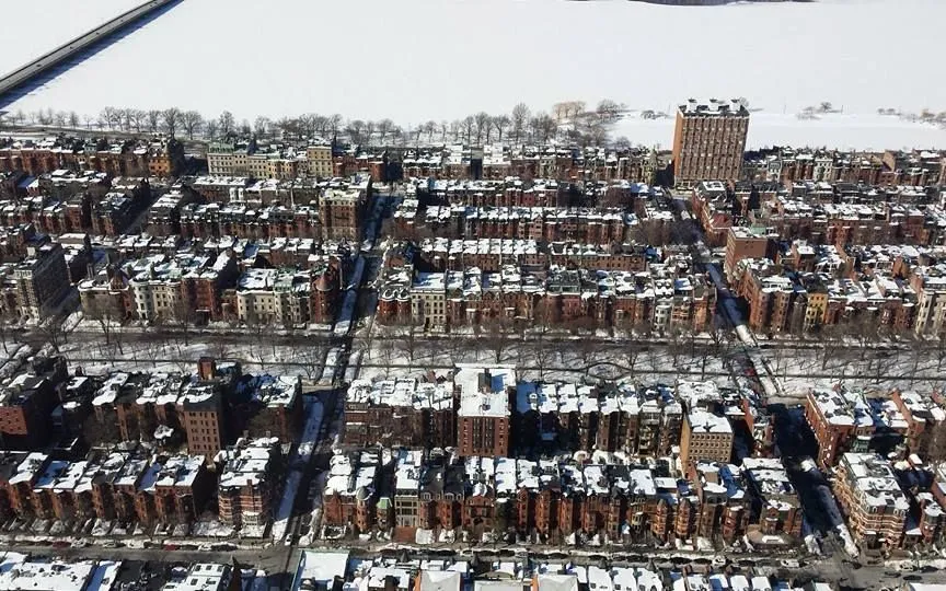
Back Bay Grand Avenues
A 105-minute walk down Boston's grandest boulevard, from the elms of Commonwealth to the Marathon's finish and Copley Square.
 The local mix
Beacon Hill and the Public Garden
Gaslit Federal lanes, a gold dome, and pedal-powered swan boats on a Victorian lagoon.
What you'll see
34 stops mapped across 7 walking tours in Boston. A few of the places the routes take you past:
- New England Aquarium
- Rowes Wharf
- Boston Tea Party Ships & Museum
- Fan Pier Park
- Institute of Contemporary Art
- Union Park
- Boston Center for the Arts
- SoWa Art and Design District
- SoWa Power Station
- Kenmore Square
- Fenway Park
- Back Bay Fens
Before you go
Is Boston a walkable city for visitors?
Boston is one of the most walkable cities in the United States. The Freedom Trail threads the downtown sights together, and Beacon Hill, the North End, Back Bay, and the Seaport all connect on foot. Use the T subway when your legs give out or when you need to cross the river quickly.
When is the best time of year to visit Boston?
May through October is the peak season, with the warmest weather and the fullest schedules. April and November are quieter and cooler, and winter is cold but keeps the museums and the Freedom Trail open. Check individual site hours in the off season, since some shorten them.
SourceNational Park ServiceHow do I get around Boston without a car?
Walk for the downtown sights and take the T subway for longer hops. A single subway ride is $2.40, and the Charlestown Navy Yard, Back Bay, and the Seaport are all reachable on foot or by one short ride from downtown.
SourceMBTAHow much money do I need for a day in Boston?
Budget roughly $70 to $90 per person for the main Freedom Trail sites, lunch, coffee, and a subway ride or two. Many downtown sites, including Faneuil Hall, USS Constitution, and the Bunker Hill Monument, are free, and the paid partner sites run from $6 to $15 for adults.
SourceNational Park ServiceMBTAHow many days do you need to see Boston?
Two to three days covers the Freedom Trail, Beacon Hill, Back Bay, and one or two museums at a comfortable pace. One well-planned day hits the revolutionary core: downtown, the North End, and Charlestown. Add a day for the Seaport, the South End, or the Fenway museums if you want to leave the Freedom Trail.
Is Boston safe to walk around?
Boston's visitor districts are safe to walk during the day and into the evening. Use the same care you would in any city: watch crossings, keep valuables close on the T, and stick to lit streets at night. The downtown, North End, and Charlestown route is well traveled and well lit.

Walk Boston
Get the audio guide in the app.
Carry this one-day Boston plan in your pocket with the route, hours, and food stops for each block.
More cities in the United States
Provenance · last verified August 20, 2026
Built from the Wayside walking tours in this city and the stops they cover.
Photo by Sean Sweeney on Unsplash
Photo by Jimmy Woo on Unsplash
Photo by Arturoramos on Wikimedia Commons · CC BY-SA 3.0
Photo by King of Hearts on Wikimedia Commons · CC BY-SA 4.0
Photo by Brett Wharton on Unsplash
Photo by Jon Platek on Wikimedia Commons · CC BY-SA 3.0
Photo by Eganjm18 on Wikimedia Commons · CC BY-SA 4.0
Photo by Matt Collamer on Unsplash