Rome · Self-guided audio walk

The Pope's Backyard: From St. Peter's to the Bridge of Angels

The papal city from the street: Bernini's colonnade, Mussolini's boulevard, a secret escape route, and the angels on Hadrian's bridge.

  • 6Stops
  • 1.9 kmDistance
  • 25+ minTime
The Pope's Backyard: From St. Peter's to the Bridge of Angels

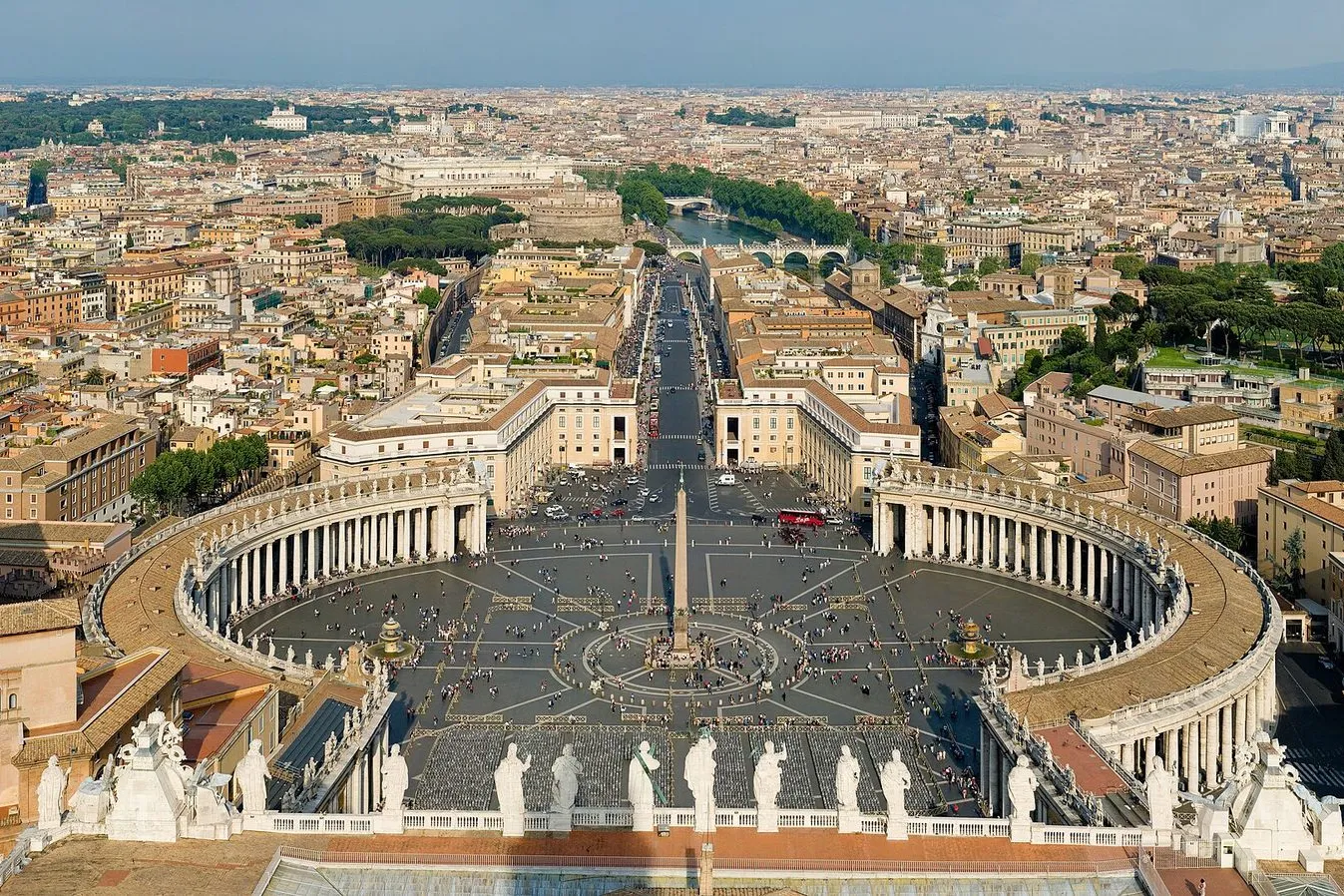
Photo by Diliff on Wikimedia Commons

This walk covers the Vatican's front yard and the neighborhood most visitors never see. You begin in St. Peter's Square under Bernini's colonnade, then walk the broad Via della Conciliazione that Mussolini cut through a medieval quarter. A turn onto Borgo Pio lands you in a cobbled lane of trattorias and grocery shops where Swiss Guards run errands in civilian clothes. The Passetto di Borgo rises above you, the elevated corridor popes used to flee to Castel Sant'Angelo. The castle was Hadrian's mausoleum before it became a papal fortress, and from its base you can trace its two-thousand-year story in stone. Cross Ponte Sant'Angelo with its ten Bernini-school angels and you are back in the centro storico, the castle and the dome of St. Peter's framed behind you.

Hear it on the street

Get the turn-by-turn audio guide in the app. The narration plays itself as you reach each stop, hands-free and offline.

Stop by stop

The route

Interactive map of the route. The full stop list below works without it.

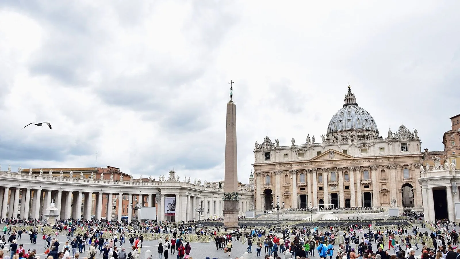
St. Peter's SquareMust see

Photo by Ank Kumar on Wikimedia Commons

St. Peter's Square

0:00

The great elliptical piazza where Bernini's colonnade reaches out like two arms to embrace the faithful, framed by the façade of the world's largest church.

You are standing in the center of St. Peter's Square, inside an ellipse that Gian Lorenzo Bernini laid out between 1656 and 1667. The four rows of Doric columns that sweep around you, 284 of them, topped by 140 saints, were designed to feel like the arms of the church pulling the world in. Stand on one of the two white marble discs set into the cobblestones near the fountains.

From either disc, the four rows of the colonnade align perfectly into a single row: an optical trick Bernini built on purpose. The obelisk in front of you came from Egypt in 37 AD. Caligula had it shipped to Rome to decorate his circus, the same circus where Saint Peter was crucified. It stood here for 1,500 years before a team of 900 men and 140 horses dragged it to this spot in 1586 under Pope Sixtus V.

When you are ready, turn your back to the basilica and walk toward the broad avenue that opens ahead. That is Via della Conciliazione.
≈7 min walk to the next stop
Via della ConciliazioneLocal pick

Photo by Krzysztof Golik on Wikimedia Commons

Via della Conciliazione

0:00

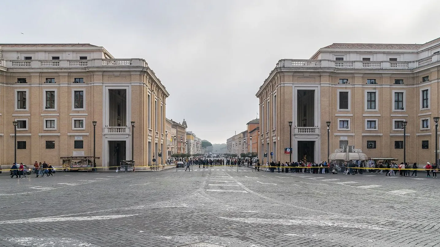
The broad ceremonial avenue Mussolini cut through a medieval neighborhood to link the Vatican to the Tiber.

This wide boulevard under your feet did not exist before 1937. Until then, the approach to St. Peter's was a maze of narrow medieval streets, the Borgo Vecchio and Borgo Nuovo, that opened suddenly onto the square, a dramatic reveal that architects and pilgrims had loved for centuries. Benito Mussolini ordered the whole neighborhood demolished.

His government cleared twenty-eight acres, displaced thousands of residents, and drove this straight avenue from the Tiber to the basilica, naming it Via della Conciliazione to mark the 1929 Lateran Pacts that settled the long standoff between Italy and the Holy See. The avenue was finished for the 1950 Holy Year. Look at the lampposts. They are shaped like the obelisk in the square behind you, a detail most people walk right past.

When you reach the second side street on your right, turn into Borgo Pio.

≈3 min walk to the next stop
Borgo PioLocal pick

Photo by Krzysztof Golik on Wikimedia Commons

Borgo Pio

0:00

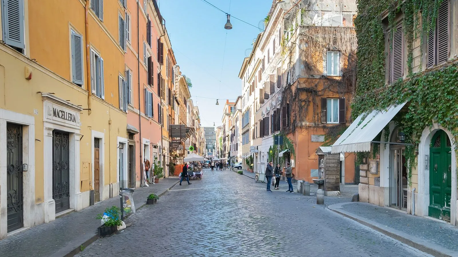
A cobbled pedestrian lane that survived Mussolini's demolition, where Swiss Guards still shop for groceries between trattorias and gelaterie.

This is Borgo Pio, a street the wrecking balls of the 1930s never reached. While the medieval Borgo around it was flattened to build Via della Conciliazione, this lane kept its old rhythm. Pope Sixtus V laid it out in 1565 as a direct link between St. Peter's and Castel Sant'Angelo, and for centuries its shops served the Vatican household: tailors, cobblers, bakers.

Swiss Guards still walk here in civilian clothes, shopping for groceries at the Carrefour on Via di Porta Castello or picking up a coffee before their shift. The street is closed to cars, so the noise is voices and the scrape of chairs at the trattorias that line both sides. Toward the far end you will see a high brick wall with a covered walkway on top. That is the Passetto di Borgo.

≈1 min walk to the next stop
Free preview ends here · stops 4 to 6 continue in the app

Passetto di Borgo

The elevated 800-meter escape corridor popes used to flee from the Vatican to the safety of Castel Sant'Angelo.

in app

Castel Sant'Angelo

Hadrian's cylindrical mausoleum, later a papal fortress with a rooftop angel and views straight down the Tiber.

in app

Ponte Sant'Angelo

Hadrian's bridge across the Tiber, lined with ten marble angels holding the instruments of Christ's Passion, designed by Bernini.

in app
Good to know

Before you go

Is St. Peter's Basilica free to enter?

Yes, St. Peter's Basilica is free to enter. The dome climb costs €8 if you take the stairs or €10 for the elevator partway, and the Vatican Museums with the Sistine Chapel require a separate paid ticket. Expect a security queue of 30 to 45 minutes at the Basilica. Dress code applies: long trousers or below-knee skirts and covered shoulders for all visitors.

SourceSt. Peter's Basilica: official site
Can I walk the Passetto di Borgo?

No, the Passetto di Borgo is not open to the public. You can see the elevated corridor from below on Borgo Sant'Angelo and from the ramparts of Castel Sant'Angelo. The view from the street, with the Vatican walls rising above, is enough to appreciate its purpose: a secret escape route for popes in trouble.

Keep exploring

More walks in Rome

From Foundation to Empire: Rome's Ancient WalkThe essentials

From Foundation to Empire: Rome's Ancient Walk

Walk Rome's history in order: from the Palatine's mythical hut to the Colosseum's arena.

9 stops2.4 km40+ min
Baroque Heart of the Campus MartiusThe essentials

Baroque Heart of the Campus Martius

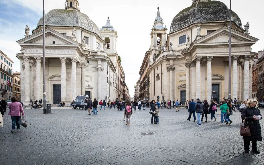
From a morning market to the Spanish Steps, a walk through Rome's most beautiful piazzas, fountains, and domes.

6 stops2.4 km40+ min
The Trastevere ClimbThe hidden side

The Trastevere Climb

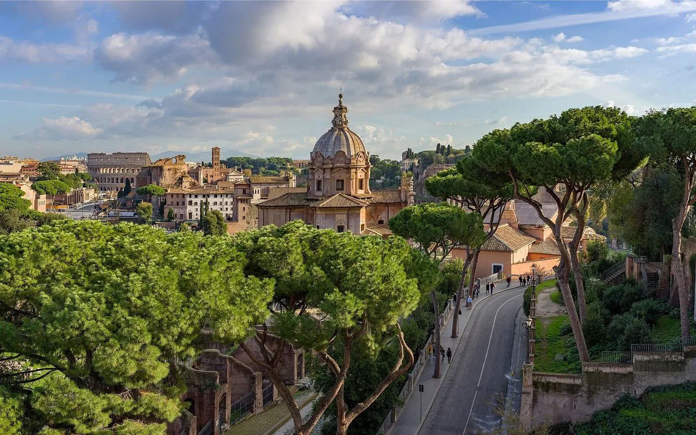
Cross a Renaissance bridge, stand before Raphael's Galatea, then climb to the fountain that inspired the Trevi and the finest free panorama in Rome.

6 stops2.4 km40+ min
From Michelangelo to the River: The Capitoline and the GhettoThe essentials

From Michelangelo to the River: The Capitoline and the Ghetto

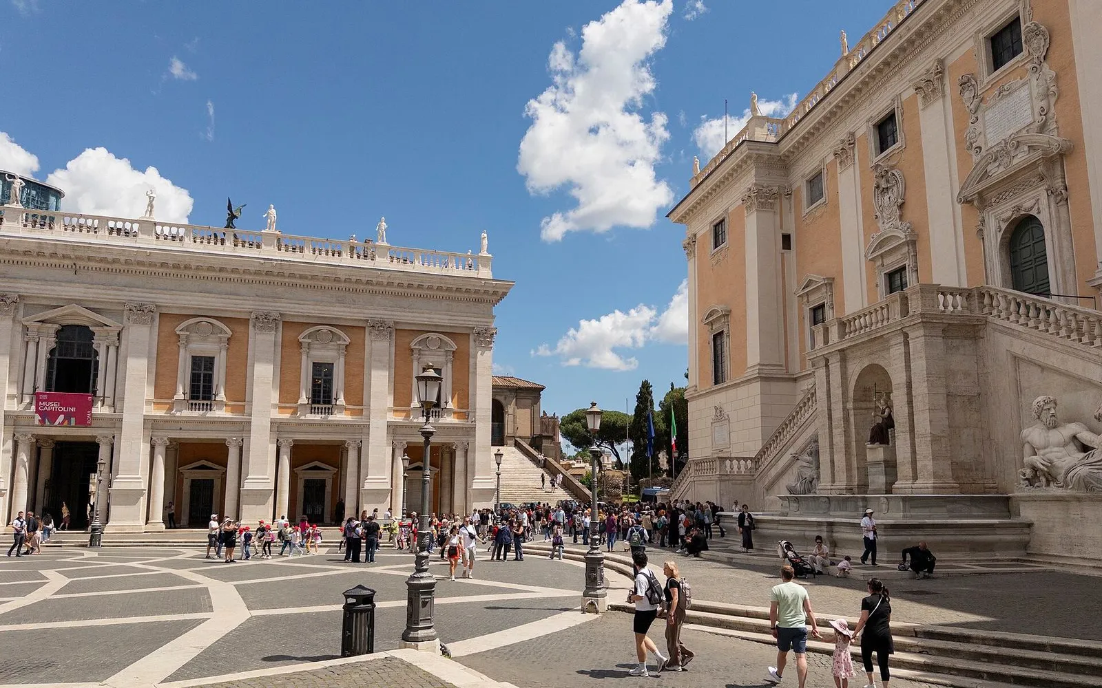
Descend from Michelangelo's perfect piazza through the ancient Jewish quarter to the oldest bridge and the island of healing.

7 stops1.3 km25+ min
From the Aventine to Testaccio: Rome's Quiet Hill and the Mountain of ShardsThe essentials

From the Aventine to Testaccio: Rome's Quiet Hill and the Mountain of Shards

A downhill walk from a secret keyhole view of St. Peter's to an ancient trash heap made of 53 million olive oil jars, ending at Rome's best street-food market.

7 stops2.2 km40+ min
The Caelian Hill: Rome's Quiet SummitThe hidden side

The Caelian Hill: Rome's Quiet Summit

A climb through Rome's most layered hill, from an underground Mithraeum to the mother church of Catholicism.

5 stops2 km35+ min
Monti: Rome's First RioneThe local mix

Monti: Rome's First Rione

A 100-minute walk from the square where locals gather at sunset, through the streets where Julius Caesar grew up, to Michelangelo's Moses and a basilica ceiling that Romans say was gilded with the first gold from the Americas.

6 stops2 km30+ min

Provenance · last verified August 21, 2026

Built from the Wayside route itself: the stops, their order, and the walk between them.

Photo by Diliff on Wikimedia Commons · CC BY-SA 3.0

Photo by Ank Kumar on Wikimedia Commons · CC BY-SA 4.0

Photo by Krzysztof Golik on Wikimedia Commons · CC BY-SA 4.0

Photo by Krzysztof Golik on Wikimedia Commons · CC BY-SA 4.0

Photo by Wolfgang Moroder on Wikimedia Commons · CC BY-SA 3.0

Photo by Nicola since 1972 on Openverse · CC BY 2.0

Photo by Dguendel on Wikimedia Commons · CC BY 3.0

Photo by Nhartmannphotos on Wikimedia Commons · CC BY-SA 4.0

Photo by My Past from Norway on Wikimedia Commons · CC BY 2.0

Photo by Palickap on Wikimedia Commons · CC BY-SA 4.0

Photo by Vadim Zhivotovsky on Wikimedia Commons · CC BY 3.0

Coming soon

Wayside isn't in the app stores yet, but it's in the works. Check back soon.