Milan · Self-guided audio walk

The Canals That Built Milan

Walk the waterways that carried marble for the Duomo and turned a landlocked city into a working port.

  • 5Stops
  • 3.3 kmDistance
  • 45+ minTime
The Canals That Built Milan

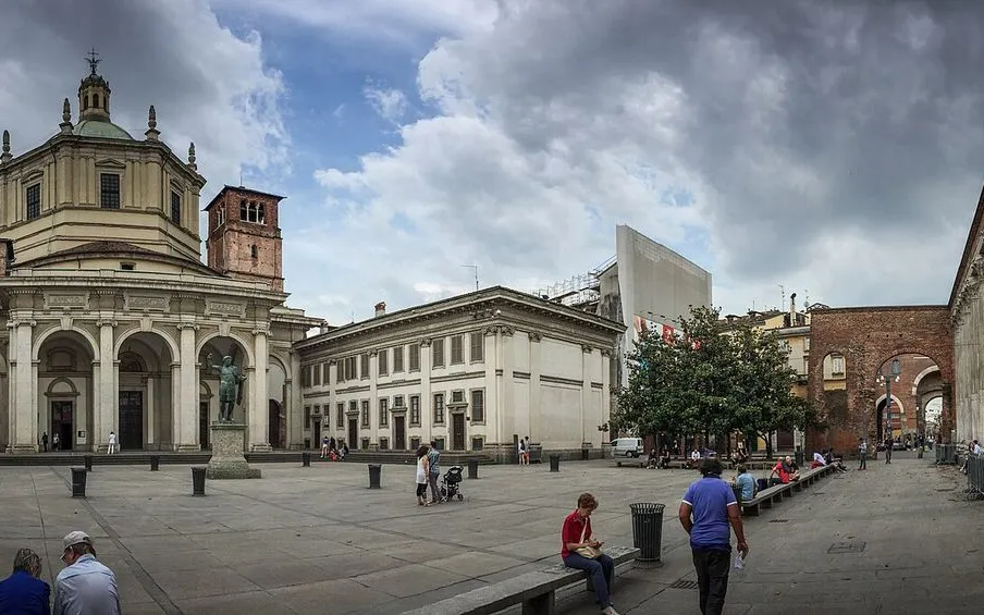
Photo by JasonParis from Toronto, Canada on Wikimedia Commons

Milan was a port long before it was a fashion capital. This walk follows the Navigli canals that carried the pink Candoglia marble for the Duomo straight into the city center, turning a landlocked city into one of Italy's busiest inland ports. From the Darsena dock where barges unloaded for nearly four centuries to the washermen's alley at Vicolo dei Lavandai, from the Romanesque-Gothic church of San Cristoforo to the aperitivo bars of Via Ripa di Porta Ticinese, you trace the water that built Milan and the quarter that grew up along it. Flat, shaded, and about a hundred minutes door to door.

Hear it on the street

Get the turn-by-turn audio guide in the app. The narration plays itself as you reach each stop, hands-free and offline.

Stop by stop

The route

Interactive map of the route. The full stop list below works without it.

DarsenaMust see

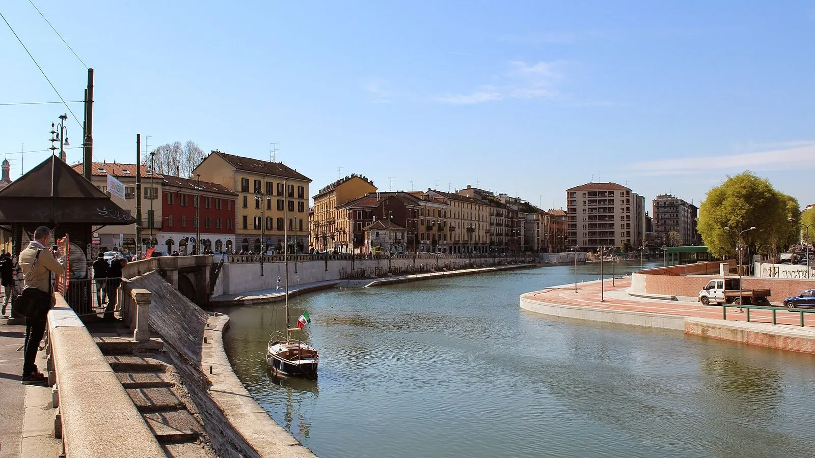
Photo by Nelson Pérez on Wikimedia Commons

Darsena

0:00

The old dock, where barges once unloaded marble for the Duomo and goods from across Lombardy. Now a wide basin ringed by promenades.

You're standing at the Darsena, Milan's historic port, opened in 1603 under Spanish governor Pedro Enríquez de Acevedo, Count of Fuentes. Before that, this was the laghetto di Sant'Eustorgio, a medieval lake that received the waters of the Naviglio Grande. The Darsena turned that lake into a proper harbor, and for nearly four centuries it was the city's commercial heartbeat. Barges loaded with Candoglia marble sailed straight up the Naviglio Grande and docked here, their cargo destined for the Duomo.

Sand, grain, wine, and coal all passed across these wharves. The last barge, carrying 120 tons of sand from Castelletto di Cuggiono, arrived on 31 March 1979. After that, the basin sat neglected until the city cleaned and reopened it for Expo 2015. Look at the water now.

The Naviglio Grande enters from your right, the Naviglio Pavese exits to your left. You're at the junction that made Milan a port without a sea.
≈4 min walk to the next stop
Naviglio GrandeLocal pick

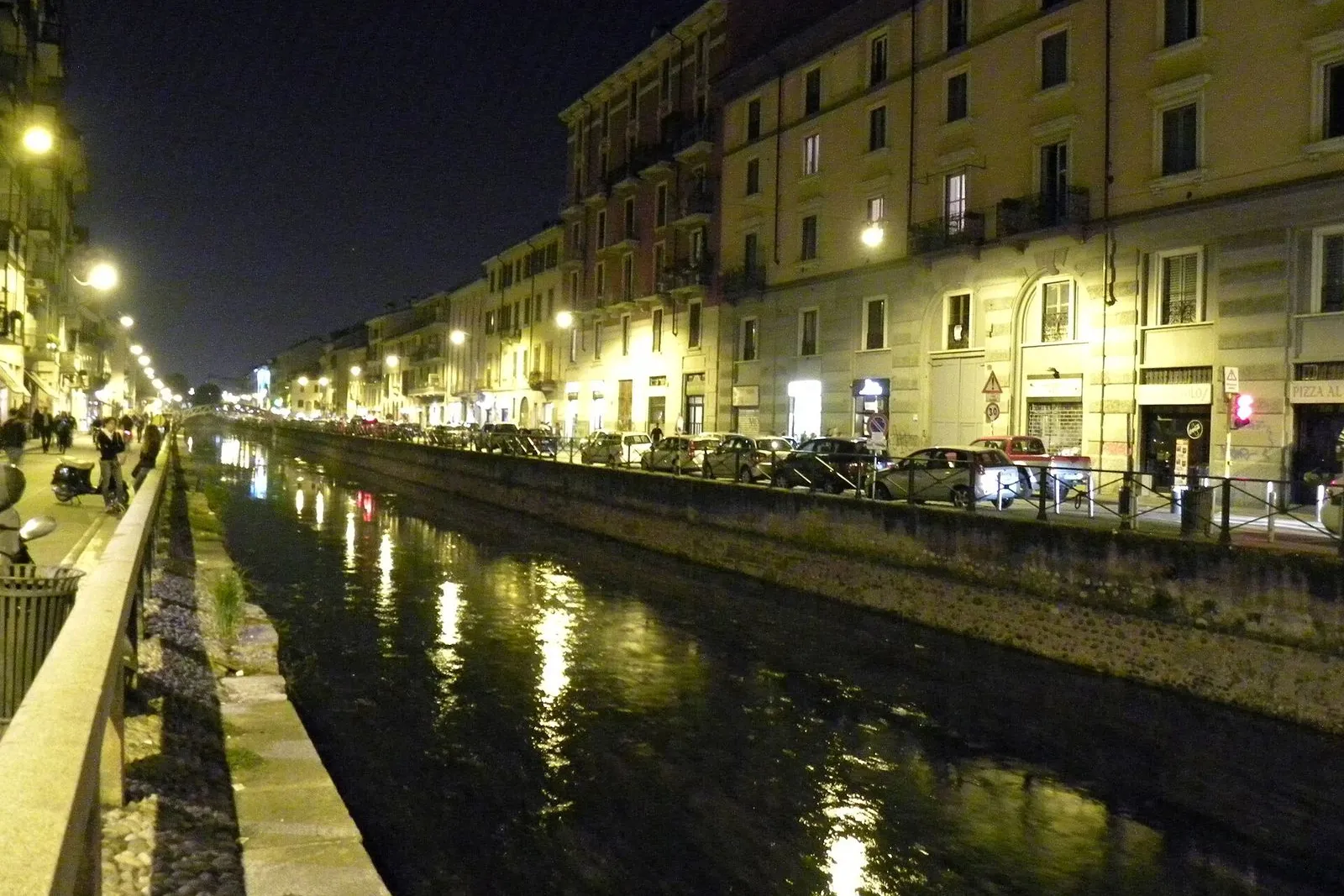
Photo by Gerda Arendt on Wikimedia Commons

Naviglio Grande

0:00

The oldest and grandest of Milan's canals, dug in the 12th century. Its towpath is now lined with workshops, galleries, and aperitivo bars.

The Naviglio Grande stretches nearly fifty kilometers from the Ticino River to this very basin. It was begun in 1177 and completed in 1257, making it one of the oldest navigable canals in Europe. For centuries it was the main freight artery into Milan. The marble that built the Duomo, pink-white Candoglia stone from the Ossola Valley, traveled this exact waterway, barges gliding past fields and villages before slipping into the city.

The towpath you're walking, the Alzaia, takes its name from the Milanese word for the rope men used to haul barges upstream. Horses did the job later, and you can still find iron mooring rings bolted into the stones. Today the canal banks hum with a different kind of trade: galleries, vintage shops, and the bars that make this neighborhood the city's aperitivo capital after dark. But look at the water itself.

It still flows, same as it did eight centuries ago.

≈3 min walk to the next stop
Vicolo dei LavandaiLocal pick

Photo by FlavMi on Wikimedia Commons

Vicolo dei Lavandai

0:00

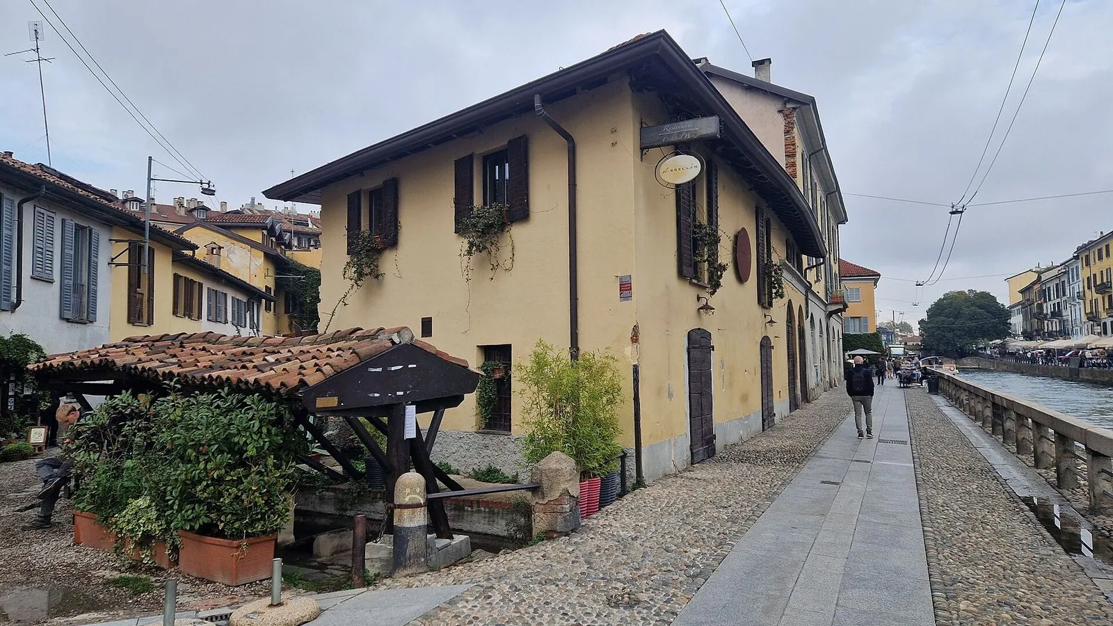
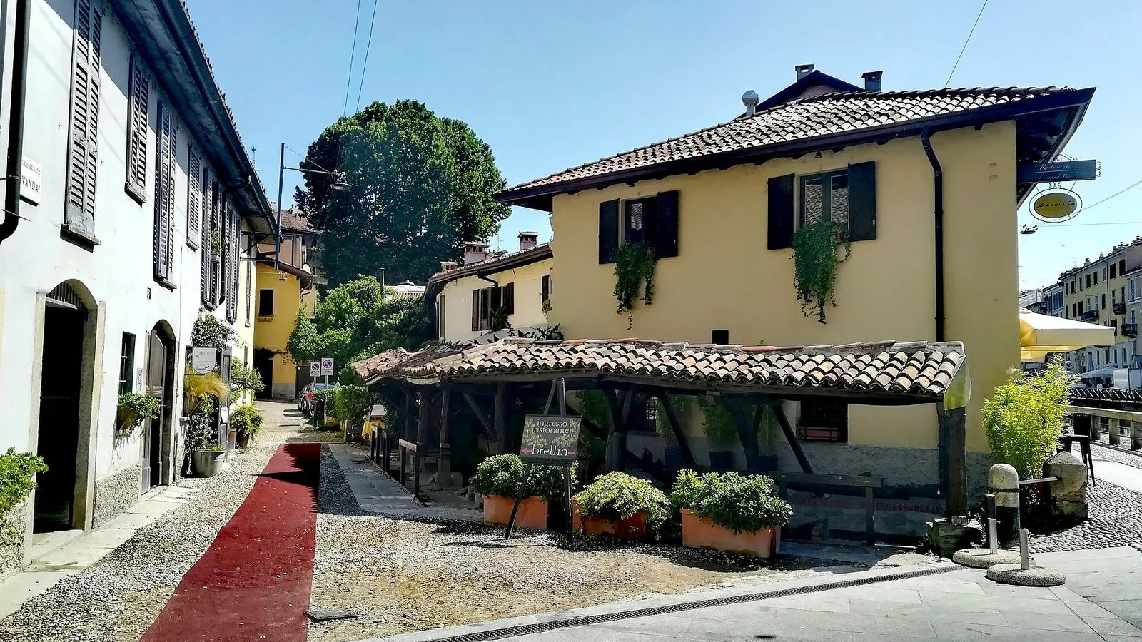
A narrow alley off the Naviglio Grande where washermen and washerwomen once scrubbed the city's laundry in a stream fed by the canal.

Step into Vicolo dei Lavandai, tucked behind a low arch off the Alzaia. This is one of the best preserved pieces of old working Milan. From the eighteenth century until the 1950s, this alley was the city's open-air laundry. The stream running through it, el fossett in Milanese dialect, is fed by the Naviglio Grande.

Washermen, organized since around 1700 into a proper guild, the Confraternita dei Lavandai, knelt on wooden boards called brellin and scrubbed clothes against the stone stalls you can still see. Their detergent was palton, a paste of ash, soap, and soda. Later, women took over the work, carrying laundry in baskets from wealthy households across the city. Walk to the end of the alley.

That gravel piazzetta was once where barges unloaded goods from the canal. And the building that now houses the restaurant El Brellin was a drugstore that sold soap and bleach to the washers. The guild's patron saint, Anthony of Padua, has an altar in the church of Santa Maria delle Grazie al Naviglio, a hundred meters from here.

≈4 min walk to the next stop
Free preview ends here · stops 4 to 5 continue in the app

Naviglio Pavese

The younger canal, completed in 1819 after nearly five centuries of starts and stops. Quieter and more local than the Grande.

in app

San Cristoforo sul Naviglio

A double church on the Naviglio Grande's bank, one Romanesque and one Gothic, built where pilgrims and bargemen once crossed the canal.

in app
Good to know

Before you go

What is aperitivo and where should I go?

Aperitivo is the Milanese ritual of a pre-dinner drink served with a spread of snacks, typically between 18:00 and 21:00. You order a spritz, a Negroni, or a glass of wine and help yourself to the buffet of pasta, bruschetta, cured meats, and small bites. The Navigli district has the city's densest concentration of aperitivo bars along the Naviglio Grande and Via Ripa di Porta Ticinese. In many places the buffet is generous enough to replace dinner, making it one of Milan's best-value meals.

SourceIntroducing Milan
How do I get to the Navigli from the Duomo?

Take the M2 green line from Duomo to Porta Genova, two stops and roughly five minutes. From Porta Genova station, walk two minutes south and you are on the Naviglio Grande. You can also take Tram 3 from the Duomo, which runs south through the city and drops you near the Darsena.

Are the Navigli canals still in use?

The Navigli were working canals for nearly eight centuries, carrying marble for the Duomo and goods from Lake Maggiore and Lake Como into the heart of Milan. Most of the inner-city canals were paved over in the 1930s, but the Naviglio Grande and Naviglio Pavese still hold water. Today they are a recreational district of towpath walks, bars, and restaurants. A project to reopen the buried inner ring of canals has been debated for decades but remains unrealized.

Provenance · last verified August 18, 2026

Built from the Wayside route itself: the stops, their order, and the walk between them.

Photo by JasonParis from Toronto, Canada on Wikimedia Commons · CC BY 2.0

Photo by Nelson Pérez on Wikimedia Commons · CC BY-SA 3.0

Photo by Gerda Arendt on Wikimedia Commons · CC0

Photo by FlavMi on Wikimedia Commons · CC BY-SA 3.0

Photo by Terragio67 on Wikimedia Commons · CC BY-SA 4.0

Photo by FlavMi on Wikimedia Commons · CC BY-SA 3.0

Photo by LucaChp on Wikimedia Commons · CC BY-SA 3.0

Photo by LucaChp on Wikimedia Commons · CC BY-SA 3.0

Photo by https://www.flickr.com/photos/belboo/ on Wikimedia Commons · CC BY-SA 2.0

Photo by Steffen Schmitz on Wikimedia Commons · CC BY-SA 4.0

Coming soon

Wayside isn't in the app stores yet, but it's in the works. Check back soon.