Honolulu · Self-guided audio walk

Nuʻuanu: The Valley of Kings

A walk from the foot of Nuʻuanu Valley to the royal tombs and the Pacific war cemetery inside an extinct volcano.

  • 4Stops
  • 2.1 kmDistance
  • 30+ minTime
Nuʻuanu: The Valley of Kings

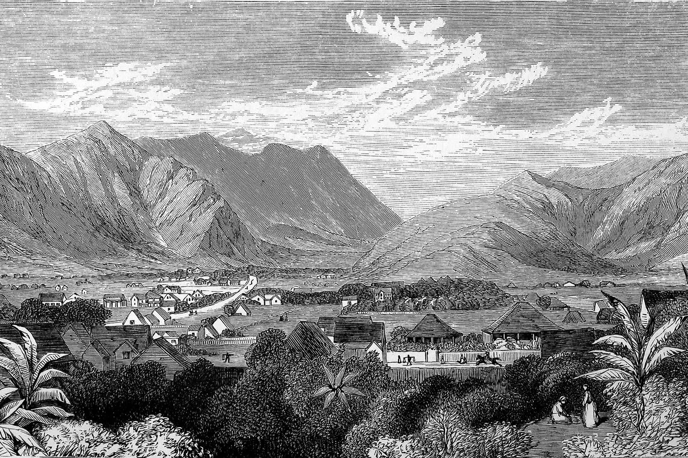
Photo by George Pearson / George Henry Burgess on Wikimedia Commons

Nuʻuanu Avenue climbs from downtown Honolulu into a valley the Hawaiian monarchy chose for its cool breezes and quiet shade. This walking tour follows that road uphill to Mauna ʻAla, the Royal Mausoleum, where the Kamehameha and Kalākaua dynasties rest on sovereign ground. Then it crosses to Punchbowl, an extinct volcano whose crater holds the National Memorial Cemetery of the Pacific and the Honolulu Memorial with its Courts of the Missing.

The climb into Punchbowl is sustained, and the tour covers about two and a half miles on foot. Allow around two hours.

Hear it on the street

Get the turn-by-turn audio guide in the app. The narration plays itself as you reach each stop, hands-free and offline.

Stop by stop

The route

Interactive map of the route. The full stop list below works without it.

Mauna ʻAlaMust see

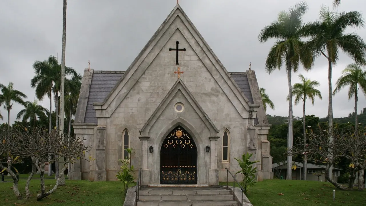
Photo by Cliff on Wikimedia Commons

Mauna ʻAla

0:00

The Royal Mausoleum of Hawaiʻi, where the Kamehameha and Kalākaua dynasties rest on sovereign ground beneath the Koʻolau foothills.

You are standing at Mauna ʻAla, the Royal Mausoleum of Hawaiʻi. Its name means Fragrant Hills, and the Hawaiian flag flies here over 3.34 acres of ground that was never ceded to the United States. The Gothic Revival chapel before you was built between 1863 and 1865, after the old royal tomb at ʻIolani Palace filled and could hold no more. Kamehameha IV and his wife Queen Emma chose this site in the cool uplands of Nuʻuanu Valley.

When Kamehameha IV died in November 1863, his grieving widow camped on these grounds and slept inside the unfinished mausoleum. The main chapel held the royals until 1922, when the last remains moved to underground vaults across the lawn. Look for the Kamehameha Tomb, the Kalākaua Crypt, and the Wyllie Tomb. Kamehameha I is not here; his bones were hidden in secret to preserve his mana.

In 2023, Abigail Kinoiki Kekaulike Kawānanakoa became the most recent burial here, the first since 1953.
≈24 min walk to the next stop
Punchbowl Crater LookoutMust see

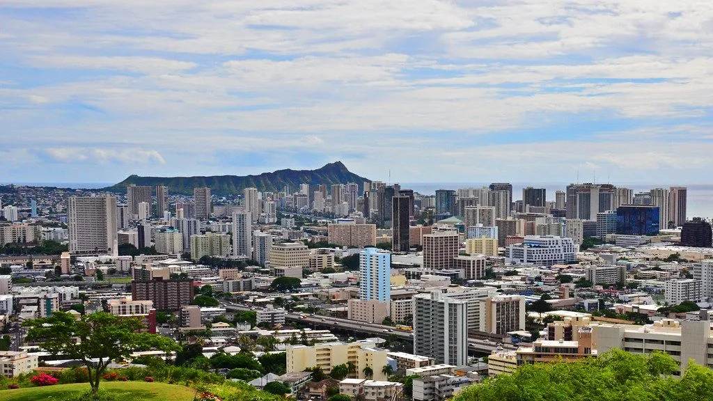
Photo by Edmund Garman on Openverse

Punchbowl Crater Lookout

0:00

The rim of Puowaina, the Hill of Sacrifice, an extinct volcano whose crater now holds thirty thousand graves and a long view across Honolulu to Diamond Head.

You are standing on the rim of Punchbowl Crater. Its Hawaiian name is Puowaina, the Hill of Sacrifice, and for centuries before western contact this was an altar where Hawaiians offered human sacrifices to their gods and executed violators of kapu, the sacred laws. The crater formed seventy-five to a hundred thousand years ago when lava erupted through cracks in the old coral reef. During the reign of Kamehameha the Great, two cannons were mounted here to salute arriving dignitaries.

In the 1930s the crater floor served as a rifle range for the Hawaiʻi National Guard, and during World War II, tunnels were dug through the rim for shore batteries defending Pearl Harbor and Honolulu Harbor. Look down into the bowl. Those rows of flat granite markers are the National Memorial Cemetery of the Pacific, dedicated in 1949. Now turn and face the ocean.

On a clear day you can see from Diamond Head on your left all the way to the Waiʻanae Range on the right, with Honolulu spread across the coastal plain between crater and sea.

≈1 min walk to the next stop
National Memorial Cemetery of the PacificMust see

Photo by Gage Skidmore from Surprise, AZ, United States of America on Wikimedia Commons

National Memorial Cemetery of the Pacific

0:00

Thirty thousand graves fill the floor of an extinct volcano, a military cemetery opened in 1949 for the dead of the Pacific war.

You are inside Punchbowl, walking among flat granite headstones laid into the grass of the crater floor. The National Memorial Cemetery of the Pacific opened on July 19, 1949. The first service that day buried five people: an unknown serviceman, two Marines, an Army lieutenant, and the war correspondent Ernie Pyle, who was killed by a sniper on Ie Shima in April 1945. Pyle's grave is in Section D, near the flagpole.

Before the cemetery opened, the Army brought remains from temporary graves across the Pacific: from Wake Island, from Japanese prisoner-of-war camps, from Guam. Nearly ten thousand World War II dead were interred here in the first three months of 1949 alone. The cemetery now holds over thirty thousand graves. The flat markers were a deliberate choice.

When the cemetery was first laid out, white wooden crosses and Stars of David marked the graves, but in 1951 they were replaced with flush granite so nothing would interrupt the sweep of green lawn rising to the crater walls. The trees around you include plumeria, shower trees, and monkeypod, chosen to bloom in every season.

≈2 min walk to the next stop
Free preview ends here · stops 4 to 4 continue in the app

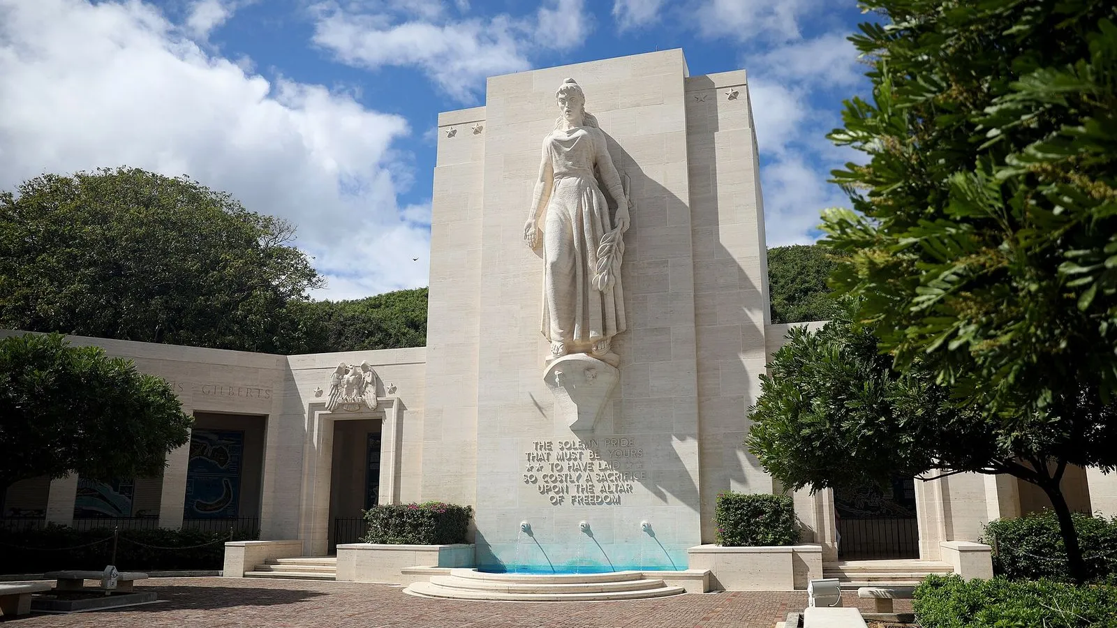
Honolulu Memorial

The Courts of the Missing bear 28,745 names of Americans lost in the Pacific across three wars, inscribed in white marble at the foot of a grand staircase.

in app
Good to know

Before you go

Is the Nuʻuanu Valley walk strenuous?

The climb into Punchbowl crater is sustained. The rest of the route, along Nuʻuanu Avenue and to Mauna ʻAla, is a gradual slope. The walk covers about two and a half miles total. Wear good walking shoes and bring water. The Punchbowl lookout at the top is worth the effort.

Can I visit Mauna ʻAla, the Royal Mausoleum?

Yes, Mauna ʻAla is open to the public Monday through Friday from 8:00 a.m. to 4:30 p.m. It is a sacred site; dress respectfully and follow the posted guidelines. Photography is permitted outside the chapel but not inside. The grounds are quiet, shaded, and deeply moving.

Provenance · last verified August 18, 2026

Built from the Wayside route itself: the stops, their order, and the walk between them.

Photo by George Pearson / George Henry Burgess on Wikimedia Commons · Public domain

Photo by Cliff on Wikimedia Commons · CC BY 2.0

Photo by Edmund Garman on Openverse · CC BY 2.0

Photo by Gage Skidmore from Surprise, AZ, United States of America on Wikimedia Commons · CC BY-SA 2.0

Photo by kajikawa on Wikimedia Commons · CC BY 3.0

Photo by jijake1977 on Openverse · CC BY 2.0

Photo by Brandon Karaca on Unsplash

Photo by Alexandra Nelson on Unsplash

Photo by w_lemay on Wikimedia Commons · CC BY-SA 2.0

Coming soon

Wayside isn't in the app stores yet, but it's in the works. Check back soon.