Lyon · Self-guided audio walk

The Rhône Banks to the Parc de la Tête d'Or

A green, slow walk from the reclaimed Rhône banks to the lake, glasshouses, and roses of Lyon's great park.

  • 10Stops
  • 6 kmDistance
  • 85+ minTime
The Rhône Banks to the Parc de la Tête d'Or

Photo by Blueberry-026 on Wikimedia Commons

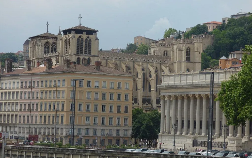
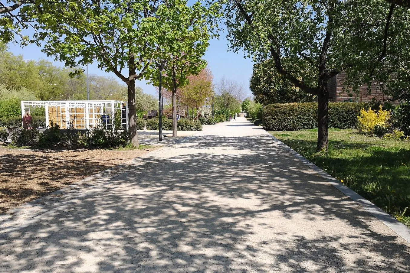
This is Lyon's longest green walk: three kilometres along the reclaimed left bank of the Rhône, then the whole of the Parc de la Tête d'Or at a slow pace. You start under Pont de la Guillotière, pass the moored bar barges and two river bridges, and enter the park through the Porte des Enfants du Rhône straight onto a 16 hectare lake. The second half lingers: the First World War memorial on the Île du Souvenir, the free zoo, the great glasshouses, and the rose gardens. The park and the zoo are free to enter, and the glasshouses are free and open every day.

Hear it on the street

Get the turn-by-turn audio guide in the app. The narration plays itself as you reach each stop, hands-free and offline.

Stop by stop

The route

Interactive map of the route. The full stop list below works without it.

Berges du Rhône at Pont de la GuillotièreLocal pick

Photo by Guilhem Vellut from Annecy, France on Wikimedia Commons

Berges du Rhône at Pont de la Guillotière

0:00

The walk begins on the reclaimed riverside promenade under Lyon's oldest Rhône crossing.

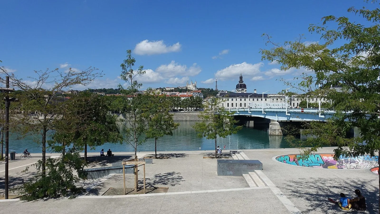
You're standing on the reclaimed left bank of the Rhône, at the foot of Pont de la Guillotière. This riverside path is the Berges du Rhône, and for decades the lower quay here was a car park. The city cleared the cars and gave the bank back to walkers, runners, and cyclists. The bridge above you is the oldest Rhône crossing in Lyon, though the structure you see opened in 1958.

A wooden bridge stood here as early as 1183, and on an earlier stone bridge a crowd crush in 1711 killed 241 people during a festival. From here, the whole walk runs north with the river on your right. When you're ready, turn away from the bridge and start up the bank.

≈5 min walk to the next stop
The moored peniche bars along quai Victor AugagneurLocal pick

Photo by Thomas K on Unsplash

The moored peniche bars along quai Victor Augagneur

0:00

A row of permanently moored barges turned into bars and restaurants on the lower quay.

The boats tied along this stretch of quay are bars and restaurants, permanently moored. They sit on a quay named in 1932 for Jean-Victor Augagneur, a doctor who served as Lyon's mayor from 1900 to 1905. In the evenings the decks fill with drinkers and the lower quay becomes one long terrace. In daylight you can see them empty, their hulls resting against the stone while the river slides past.

One of the best known is La Passagère, moored at number 21 near the foot of the next bridge. The barges owe their spot to the same redevelopment as the path you just walked. Keep going north, and you will reach Pont Wilson.

≈3 min walk to the next stop
Pont WilsonLocal pick

Photo by Corentin Eustacchi on Wikimedia Commons

Pont Wilson

0:00

The 1918 bridge named for the American president, built of reinforced concrete on stone piers.

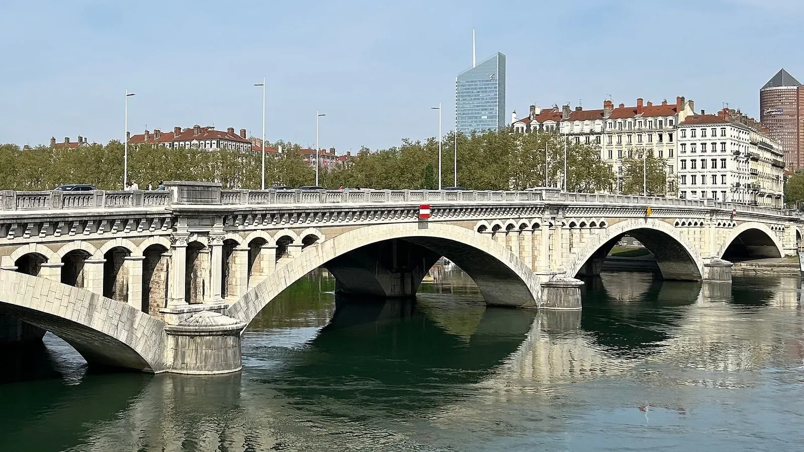
Pont Wilson carries the avenue that climbs toward the Préfecture. It was named on 24 June 1918 for Woodrow Wilson, the American president whose country had entered the First World War on France's side the year before, and it opened to traffic on 14 July 1918, Bastille Day. It replaced an earlier suspension bridge, the Pont de l'Hôtel-Dieu, that stood here from the late 1830s until 1912. The deck is reinforced concrete set on stone piers, an early use of the material for a major city crossing. You do not cross it. The walk stays on this bank, and Pont Morand sits about a kilometre further north.

≈16 min walk to the next stop
Free preview ends here · stops 4 to 10 continue in the app

Pont Morand

The bridge named for the urbanist of the Brotteaux, with the metro running inside its deck.

in app

Porte des Enfants du Rhône

The park's finest gate, with its 1887 bronze memorial to the soldiers of 1870.

in app

The lake of the Parc de la Tête d'Or

The 16 hectare lake at the centre of a 105 hectare park, dug as its centrepiece.

in app

Île du Souvenir

Tony Garnier's First World War memorial on an island in the lake.

in app

Zoo de Lyon

A free zoo open since 1858, home to around 400 animals from about 60 species.

in app

The glasshouses of the jardin botanique

The largest glasshouses in France, built in 1880 and free to visit.

in app

Roseraie internationale

The park's biggest rose garden, at its best in late spring and early summer.

in app
Good to know

Before you go

Is the Parc de la Tête d'Or free?

Yes, the park, the zoo, and the glasshouses are all free to enter.

How much time should I allow for the park?

This is Lyon's longest green walk, and the park alone deserves a half-day, so do not squeeze it into a short afternoon.

Are the glasshouses open every day?

The glasshouses are free and open every day, though the botanical garden's glasshouses can close for maintenance; check the park's noticeboard.

Provenance · last verified August 22, 2026

Built from the Wayside route itself: the stops, their order, and the walk between them.

Photo by Blueberry-026 on Wikimedia Commons · CC BY-SA 4.0

Photo by Guilhem Vellut from Annecy, France on Wikimedia Commons · CC BY 2.0

Photo by Thomas K on Unsplash

Photo by Corentin Eustacchi on Wikimedia Commons · CC BY-SA 4.0

Photo by Jacmin on Wikimedia Commons · CC BY-SA 3.0

Photo by genevieveromier on Openverse · CC BY 2.0

Photo by SashiRolls on Wikimedia Commons · CC BY-SA 4.0

Photo by corno.fulgur75 on Openverse · CC BY 2.0

Photo by Thomas K on Unsplash

Photo by ell brown on Openverse · CC BY-SA 2.0

Coming soon

Wayside isn't in the app stores yet, but it's in the works. Check back soon.