Brussels · Self-guided audio walk

Mont des Arts & the Royal Quarter

Brussels is a city on two levels. This walk climbs from the cathedral to the palace plateau, past a gallery that hides a whole floor, a garden built over a car park, and a square laid over a palace that burned in 1731.

  • 7Stops
  • 1.9 kmDistance
  • 30+ minTime

Brussels sits on two levels, and the hill between them is the most rewritten ground in the city. The Lower Town kept the markets and the trade; the plateau above kept the church of the dukes and, behind it, the palace that governed Brabant.

This walk climbs from the cathedral on the ridge, drops into the lower town and comes back up through a 1950s glass-roofed gallery that absorbs ten metres of height difference indoors. It then follows the Mont des Arts garden, the museum hill in the Old England building, Place Royale with the Magritte Museum and the burnt Coudenberg palace beneath it, the Royal Palace, and finishes among the lawns and statues of the Parc de Bruxelles.

It runs about a kilometre and a half, with a few flights of steps. The story in it is what each generation did to this one hill: a working-class quarter demolished in 1897, a palace destroyed in 1731, a garden planted over a car park, and a bandstand from 1841.

Hear it on the street

Get the turn-by-turn audio guide in the app. The narration plays itself as you reach each stop, hands-free and offline.

Stop by stop

The route

Interactive map of the route. The full stop list below works without it.

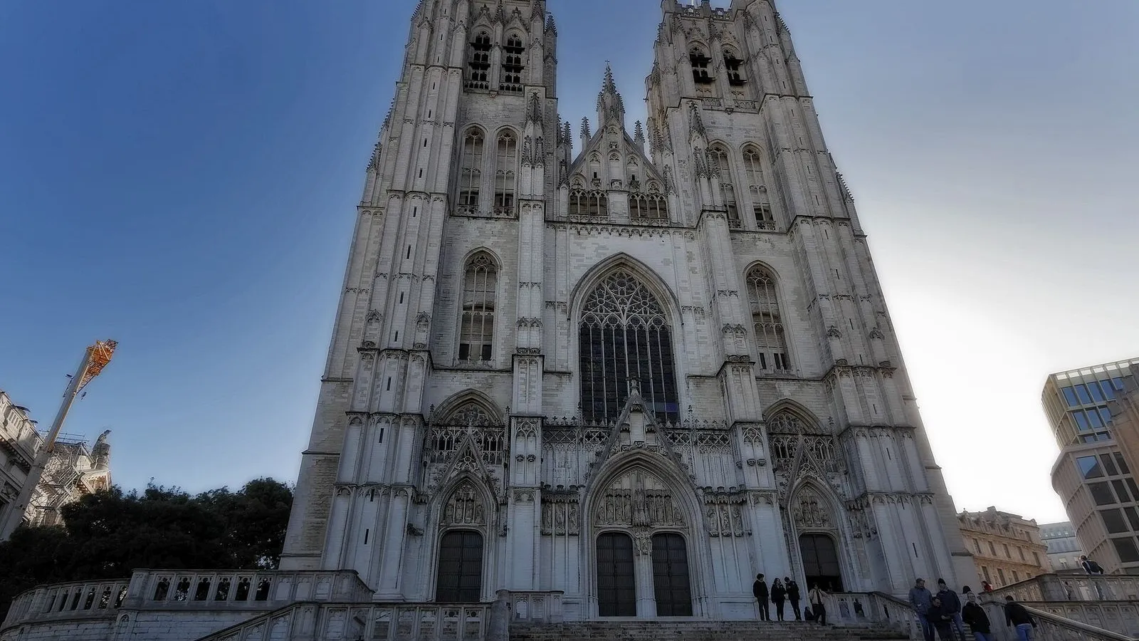
Cathedral of Saints Michael and GudulaMust see

Photo by Georgiosroussos on Wikimedia Commons

Cathedral of Saints Michael and Gudula

0:00

Brabant Gothic cathedral on the ridge above the lower town.

You're standing on the ridge that splits Brussels in two. Everything below is the old market town; up here the dukes of Brabant put their church and their palace. A small Romanesque church stood here in the 7th or 8th century. In 1047, Count Lambert II of Leuven and his wife Oda founded a chapter of twelve canons and moved the relics of Saint Gudula here from Saint-Géry, which turned the place into a pilgrimage church.

The dukes began rebuilding in the new Gothic style around 1220, and the work ran into the 15th century, so the building carries the earliest and the latest forms of Brabant Gothic. That style prefers width to height. Inside, the oak roof truss is 15th century, and the baroque pulpit, the stained glass and the organ are the things this church is proudest of. Outside, the towers reach 69 metres, and on the north tower, under the green copper cap, a wooden hut once stood where a watchman scanned the city day and night, for fires and for armies.
≈6 min walk to the next stop
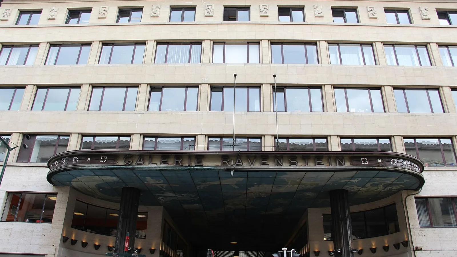
Galerie RavensteinLocal pick

Photo by Fred Romero from Paris, France on Wikimedia Commons

Galerie Ravenstein

0:00

A 1950s glass-roofed passage that climbs a whole floor indoors.

This passage has a trick: it climbs. The two streets it joins sit 10 metres apart, and the architects Alexis and Philippe Dumont dealt with the difference under a roof, with a barrel-vaulted gallery leading to a rotunda 23 metres across that steps you up through three levels. They built it between 1954 and 1958, and its vaults of glass brick, its mosaic floor and its metal door handles still carry the confidence of the 1958 world's fair. The site had older tenants.

It belonged to the Granvelle palace, put up around 1555 and pulled down in 1931, and in the sunken basin at the centre of the rotunda, beside a ceramic Europa, you're standing where a 15th-century well called the Great Ladle once drew water, before it was taken apart and rebuilt in the Egmont park. Look up in the entrance porch for the constellations painted on the ceiling. Then walk through to the far end and step out onto rue Ravenstein, and check the level: you came in a floor lower than you're leaving.

≈2 min walk to the next stop
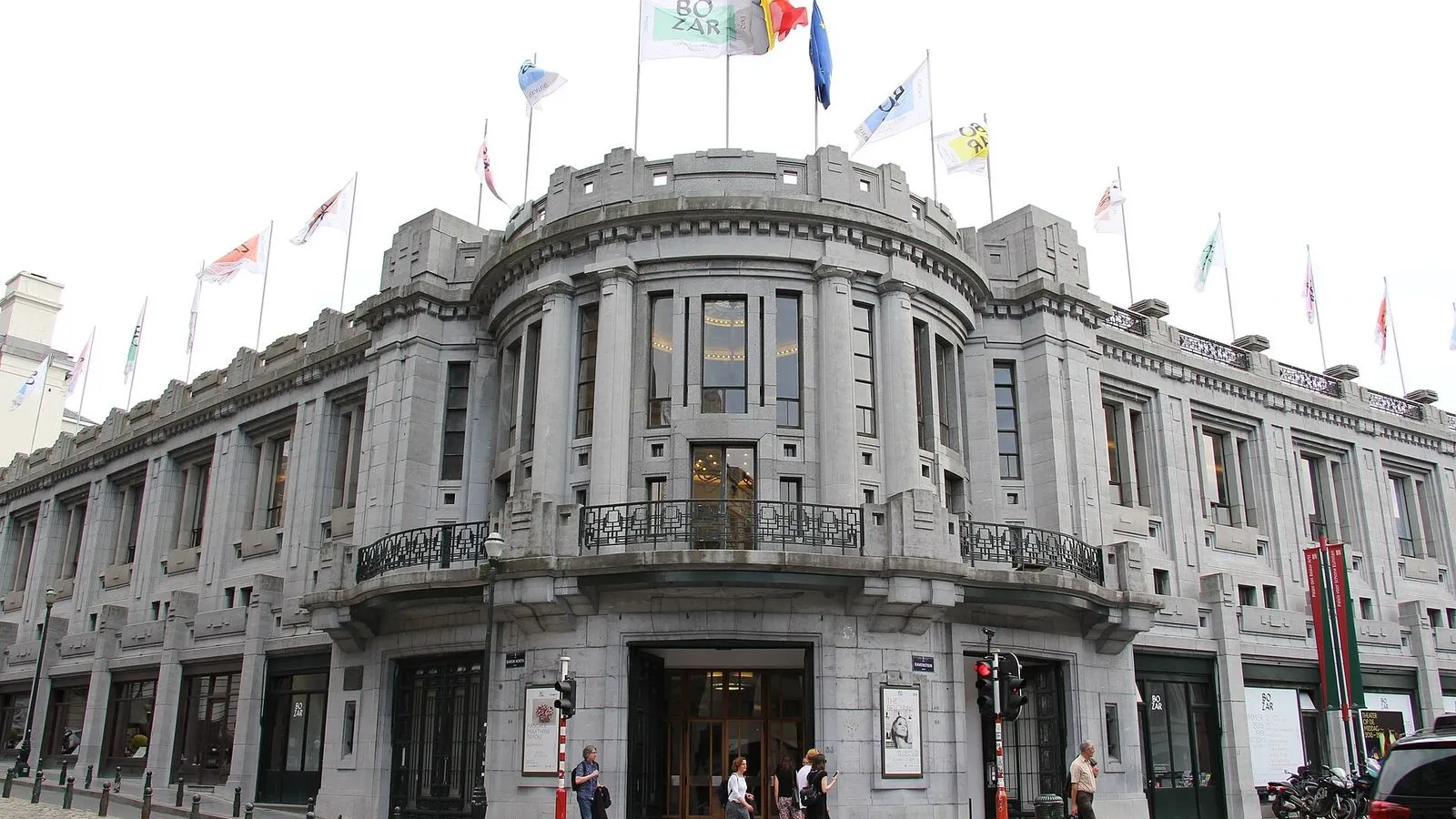
BozarLocal pick

Photo by Fred Romero from Paris, France on Wikimedia Commons

Bozar

0:00

Horta's 1928 arts palace, buried into the slope on rue Ravenstein.

The street under your feet is modern. Until the early 1900s this was the Montagne de la Cour, a lane that dropped more than ten degrees into the lower town, lined by the crowded Saint-Roch quarter. In 1903 the city agreed to cut a gentler curved street through the block instead, and that curve is rue Ravenstein. The Palais des Beaux-Arts opened on it in 1928, designed by Victor Horta and pushed through by the banker Henry Le Bœuf, whose name the main concert hall still carries.

Everyone here calls it Bozar. Notice how it behaves on this hill: the entrance and the big hall sit low, at rue Ravenstein level, and the rest of the building is stacked back into the slope towards the Mont des Arts, so from the pavement you see only a slice of it. Beside it, the short rue Baron Horta runs up to the edge of the Parc de Bruxelles.

≈3 min walk to the next stop
Free preview ends here · stops 4 to 7 continue in the app

Mont des Arts Garden

Terraces above the lower town, looking down at the Town Hall spire.

in app

Musical Instruments Museum

The Old England building's instrument museum, on a square over a burnt palace.

in app

Royal Palace

The King's working palace, open to visitors in summer only.

in app

Parc de Bruxelles

The city's first public park, with its 1841 cast-iron bandstand.

in app
Good to know

Before you go

Why is a museum in an old department store?

The Old England building was the city's grandest drapery store, and the MIM took it over and kept the Art Nouveau ironwork, the glass and the view across the Mont des Arts. Its four floors now hold the instruments, with headphone stations at the cases.

What does the MIM cost?

€18 for adults, €14 for over-65s, groups of 15 or more and FED+ card holders, €7 for 18 to 25s and job seekers, and free for under-18s. Entry is free from 13:00 on the first Wednesday of each month.

SourceMIM, tariffs
Is the Royal Palace open to visitors?

The Royal Palace opens inside only for a few weeks each summer. The rest of the year you see it from the Place des Palais, and the Parc de Bruxelles behind it is open every day.

Keep exploring

More walks in Brussels

Brussels in ComicsThe local mix

Brussels in Comics

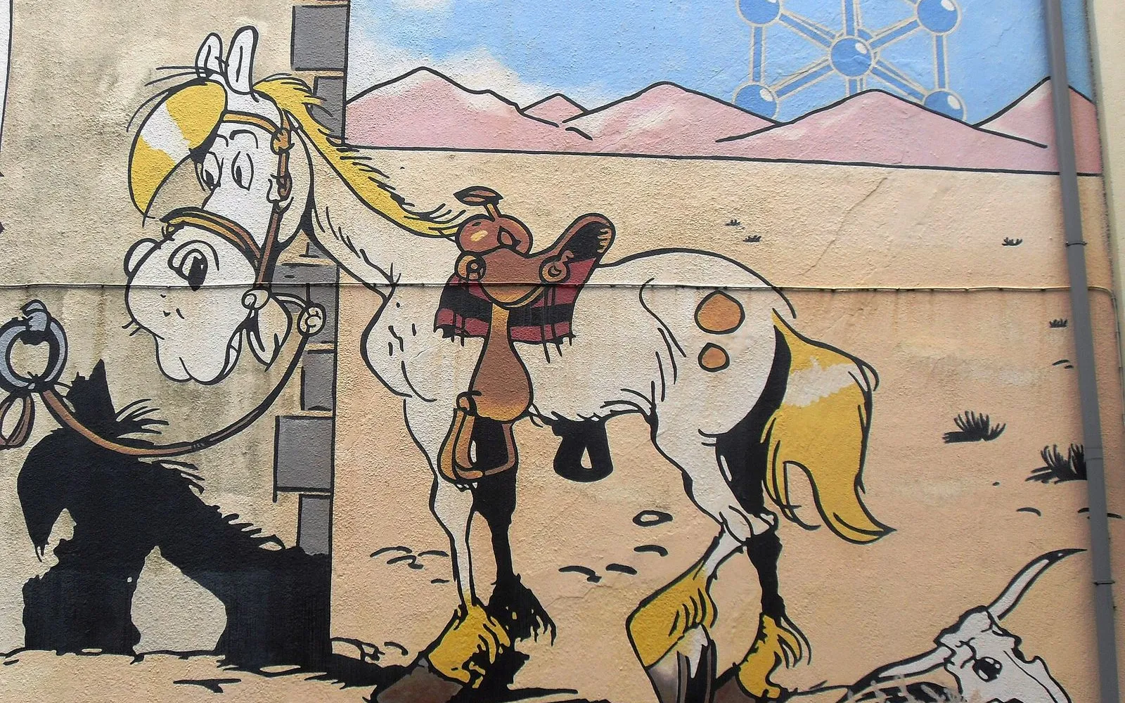
Brussels put comics on its walls. More than fifty of them since 1991, when the city peeled off its advertising hoardings and painted over the damage. One loop from Horta's comic museum to the Gauls of Rue de la Buanderie.

8 stops2.7 km45+ min
Matongé & Saint-BonifaceThe hidden side

Matongé & Saint-Boniface

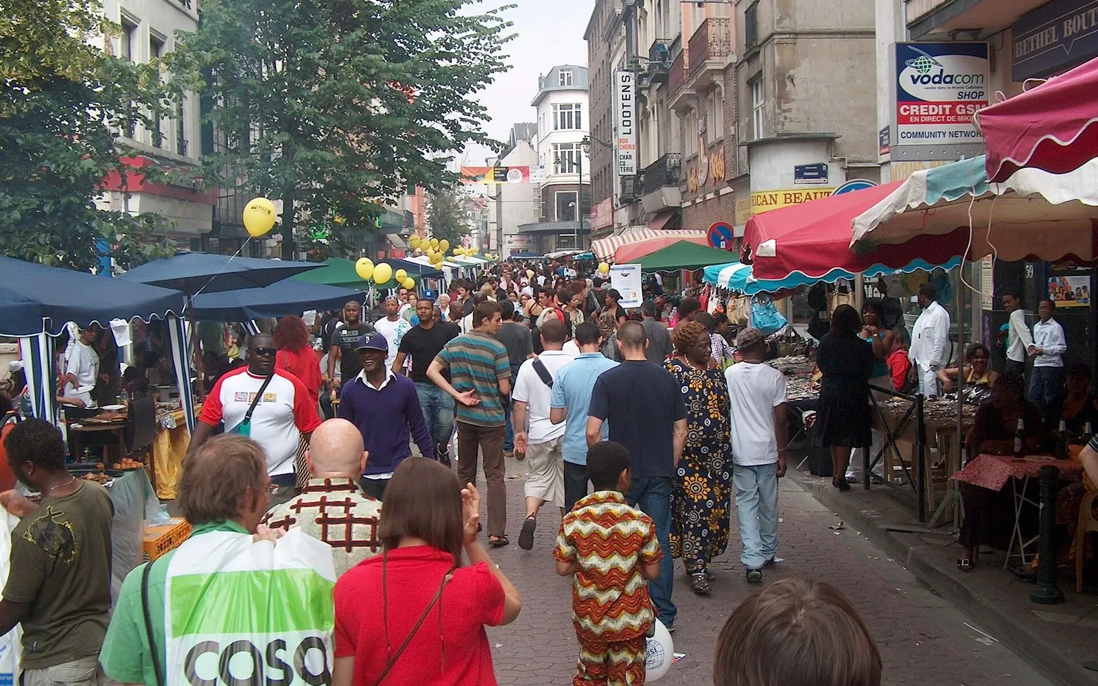
An hour through Brussels' African quarter and the neo-Gothic streets beside it: hairdressers and wax fabric, Congolese kitchens, then Art Nouveau façades and café terraces. Ten minutes from the Royal Quarter, it feels like another city.

7 stops1.8 km30+ min
Sablon & the MarollesThe local mix

Sablon & the Marolles

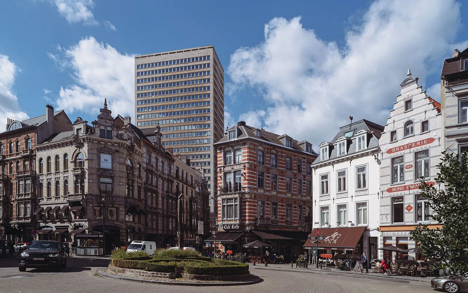
Two markets, one hill. Up top, chocolate and antiques at weekend prices. A few streets down, the daily brol of the Marolles. Time it for a market morning and the contrast is the whole walk.

8 stops2.5 km40+ min
Cinquantenaire Park & its MuseumsThe essentials

Cinquantenaire Park & its Museums

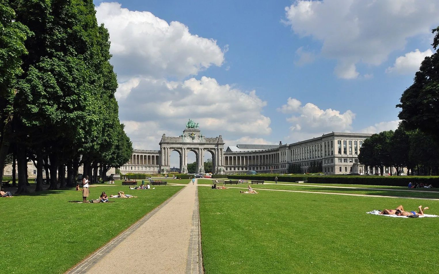
One esplanade, three museums, a park and a rooftop more than 60 meters above Brussels. Cars, marble, aircraft and a bronze chariot keep this walk interesting when the sky gives way.

5 stops1.1 km20+ min
Grand-Place & the Lower TownThe local mix

Grand-Place & the Lower Town

A first walk through the heart of Brussels: a glass-roofed arcade, the square rebuilt in stone after 1695, and the old harbour quays where the city's fish market once stood.

8 stops1.8 km30+ min
Ixelles Ponds, Flagey & Art NouveauThe local mix

Ixelles Ponds, Flagey & Art Nouveau

On foot from a Wednesday market square to a Cistercian abbey, along the valley the Maelbeek cut: Horta's first house, the ponds, and a street of facades you read from the pavement.

8 stops3.4 km55+ min
Saint-Gilles: Horta & the ParvisThe local mix

Saint-Gilles: Horta & the Parvis

A walk south of the centre through the streets where Belgium's Art Nouveau was built, covered in sgraffito you have to look up to see, and nearly lost, ending on the market square the neighbourhood still lives on.

8 stops4.1 km60+ min

Provenance · last verified September 27, 2026

Built from the Wayside route itself: the stops, their order, and the walk between them.

Photo by TE LUN OU YANG on Unsplash

Photo by Georgiosroussos on Wikimedia Commons · CC BY-SA 4.0

Photo by Fred Romero from Paris, France on Wikimedia Commons · CC BY 2.0

Photo by Fred Romero from Paris, France on Wikimedia Commons · CC BY 2.0

Photo by Ferran Cornellà on Wikimedia Commons · CC BY-SA 3.0

Photo by Varech on Wikimedia Commons · CC BY-SA 3.0

Photo by Flocci Nivis on Wikimedia Commons · CC BY 4.0

Photo by MJJR on Wikimedia Commons · CC BY 3.0

Photo by Virginia Marinova on Unsplash

Photo by Jopparn on Wikimedia Commons · CC BY-SA 3.0

Photo by infomatique on Openverse · CC BY-SA 2.0

Coming soon

Wayside isn't in the app stores yet, but it's in the works. Check back soon.