Brussels · Self-guided audio walk

Ixelles Ponds, Flagey & Art Nouveau

On foot from a Wednesday market square to a Cistercian abbey, along the valley the Maelbeek cut: Horta's first house, the ponds, and a street of facades you read from the pavement.

  • 8Stops
  • 3.4 kmDistance
  • 55+ minTime
Ixelles Ponds, Flagey & Art Nouveau

Photo by Jopparn on Wikimedia Commons

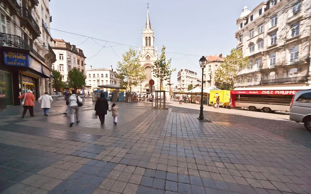
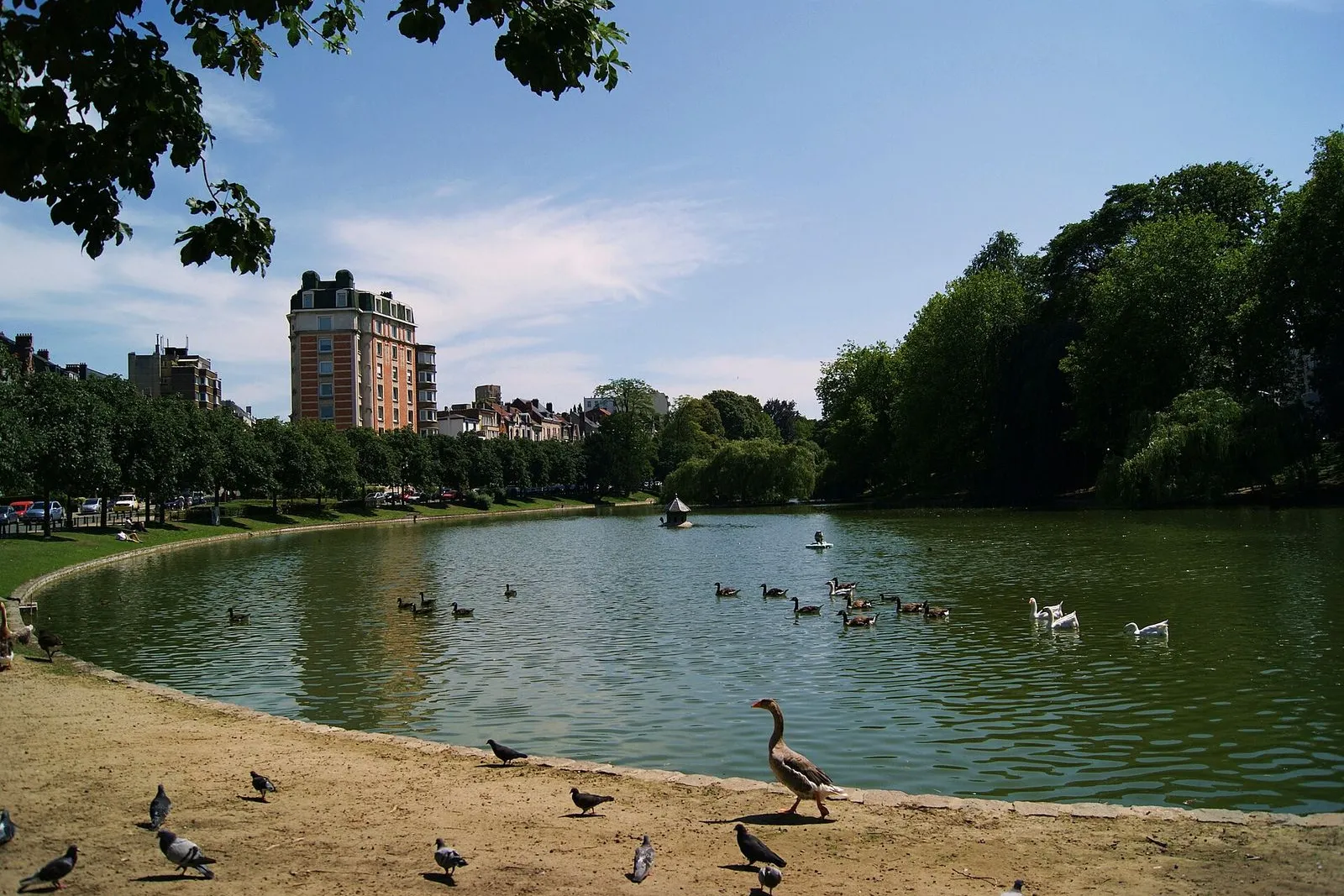
You walk one shallow valley from end to end. It starts on the slope at Place du Châtelain, where the Wednesday market fills the square, and it ends at the pond in the abbey of La Cambre, where the Maelbeek rises.

The route is mostly outdoors. Horta's 1893 town house for Émile Tassel is a UNESCO site you see from the pavement, and the Hôtel Solvay on avenue Louise opens inside only for booked guided tours. Sgraffito facades, ironwork and stone that bends like a stem line rue du Châtelain and rue Vilain XIIII.

At the halfway point, Place Flagey and Joseph Diongre's 1930s broadcasting building put a modern counterpoint beside the water. Take it slowly: this is a walk of facades and streets, since almost every interior in the district is private. Eight stops, around three kilometres, with a market at the start on Wednesdays and one at the midway point at weekends.

Hear it on the street

Get the turn-by-turn audio guide in the app. The narration plays itself as you reach each stop, hands-free and offline.

Stop by stop

The route

Interactive map of the route. The full stop list below works without it.

Place du ChâtelainLocal pick

Photo by Marvin Radke on Unsplash

Place du Châtelain

0:00

Wednesday market square at the top of the walk, ringed by sgraffito facades.

You're standing on the rise of Place du Châtelain. If it's a Wednesday afternoon, the square is full of stalls: vegetables, cheese, fruit, and people filling bags. Under the paving and the cobbles, the ground here is the eastern slope of the shallow valley the Maelbeek cut through Ixelles.

This walk follows that water. You'll cross the ridge at avenue Louise, then go down the stream's valley through the ponds it fed, and finish at the spring it comes from, in the abbey garden.

Before that, look up at the houses. In the streets radiating from this square, the same decades left sgraffito panels, iron balconies and stone carved into whiplash curves. Sgraffito is a Belgian speciality: layers of coloured plaster scraped back while still soft, so the design appears as the top layer is cut away. You'll find fable animals and allegories, and one facade carrying a private message under its cornice. The district was filling in street by street when these were made.
≈4 min walk to the next stop
Rue du ChâtelainLocal pick

Photo by Fred Romero from Paris, France on Wikimedia Commons

Rue du Châtelain

0:00

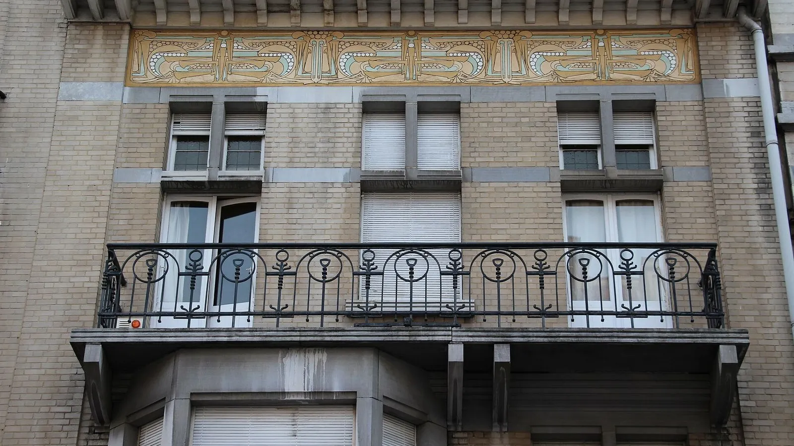
Blérot's first house and a cornice hiding an unexplained sgraffito.

Turn into rue du Châtelain and start reading the facades. At number 63 the architect Georges Hobé built a house in 1903 that refuses to be symmetrical: blue stone against pale brick, and under the cornice a sgraffito in green, beige and white whose symbols have never been fully explained. It was restored not long ago, so the colours are close to what Hobé intended.

Further along, number 29 is where Ernest Blérot built his first house in 1896, before he went on to some 76 Art Nouveau houses across Brussels. The direction of his career is already visible: an eagle watches over the door, a lion carries a console, and the sgraffito tells a fable with a fox and a stork. He put animals on a great many walls, and this was the start.

If you have five minutes more, rue du Magistrat runs close by. At number 45, Léon Delune finished a house in 1902 with a door borrowed from Japanese prints and windows whose stone mullions appear to rest on nothing.

≈4 min walk to the next stop
Hôtel TasselMust see

Photo by EmDee on Wikimedia Commons

Hôtel Tassel

0:00

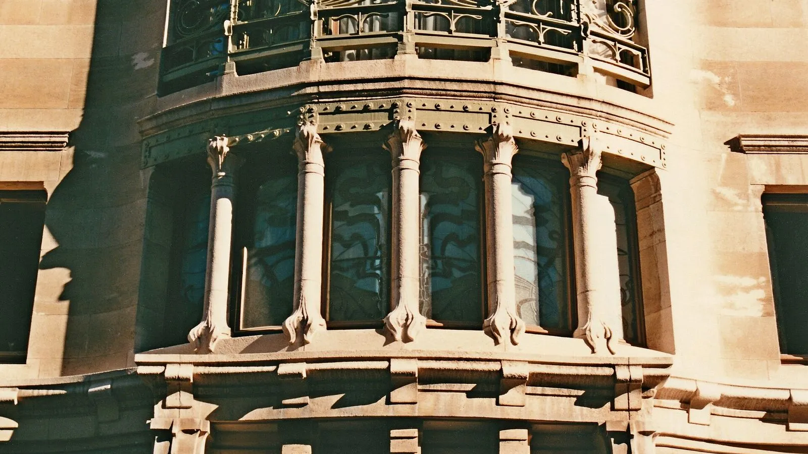
Horta's 1893 house for Émile Tassel, the founding address of Art Nouveau.

Number 6, rue Paul-Émile Janson. It's easy to walk past: the facade Horta designed in 1893 for his friend Émile Tassel, a professor at the Free University, keeps its daring on a short leash. Blue stone, brick, three bays, a balcony sagging into a curve. The neighbouring houses look conventional beside it.

The revolution is inside, which is why the street view only hints at it. Tassel was a bachelor who lived with his grandmother and liked to entertain, and Horta threw out the standard Brussels plan of a corridor with three rooms in a row. He cut a well through the middle of the house, set a stair in it under a glass roof, and let daylight reach every floor. Iron stopped pretending to be stone. Columns and beams were left visible and given curves, as if they had grown.

This is a UNESCO World Heritage site, and it is also a working house, so the pavement is as close as you get. From this address, though, you can trace half of what you've already seen.

≈5 min walk to the next stop
Free preview ends here · stops 4 to 8 continue in the app

Hôtel Solvay

Horta's most lavish house, open inside only on booked guided tours.

in app

Place Eugène Flagey

Market square and Diongre's 1930s radio building, now a concert hall.

in app

Étangs d'Ixelles

The abbey's former fish ponds, their banks redrawn by Édouard Keilig.

in app

Rue Vilain XIIII

Two 1902 houses Blérot built for himself: sgraffito frieze and loggia.

in app

Abbaye de la Cambre

Cistercian abbey founded in 1201: church, terraces and the Maelbeek's source.

in app
Good to know

Before you go

Can I see inside any of these houses?

Usually not. Hôtel Tassel is viewed from the pavement, and Hôtel Solvay opens inside only for booked guided tours; almost every other interior on the walk is private.

When are the markets on this walk?

Place du Châtelain fills on Wednesdays, and Place Flagey has its market at the weekend.

Why are there ponds on this walk?

The Ixelles ponds were the fish ponds of the Cistercian abbey of La Cambre, and their banks were redrawn by Édouard Keilig.

Keep exploring

More walks in Brussels

Mont des Arts & the Royal QuarterThe essentials

Mont des Arts & the Royal Quarter

Brussels is a city on two levels. This walk climbs from the cathedral to the palace plateau, past a gallery that hides a whole floor, a garden built over a car park, and a square laid over a palace that burned in 1731.

7 stops1.9 km30+ min
Brussels in ComicsThe local mix

Brussels in Comics

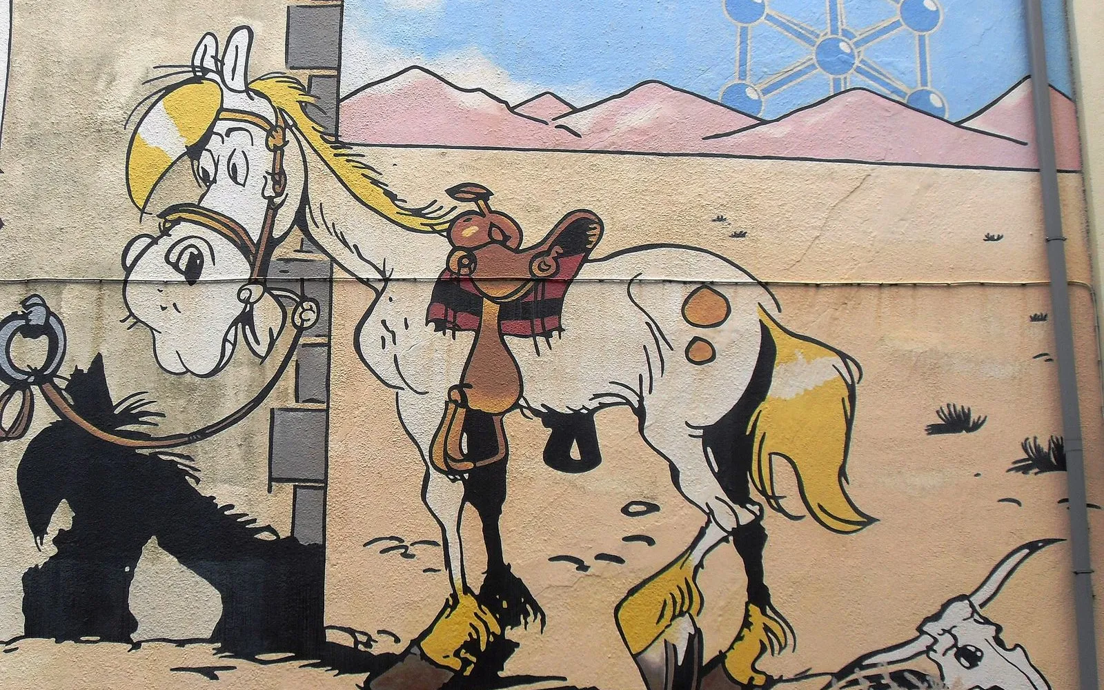
Brussels put comics on its walls. More than fifty of them since 1991, when the city peeled off its advertising hoardings and painted over the damage. One loop from Horta's comic museum to the Gauls of Rue de la Buanderie.

8 stops2.7 km45+ min
Matongé & Saint-BonifaceThe hidden side

Matongé & Saint-Boniface

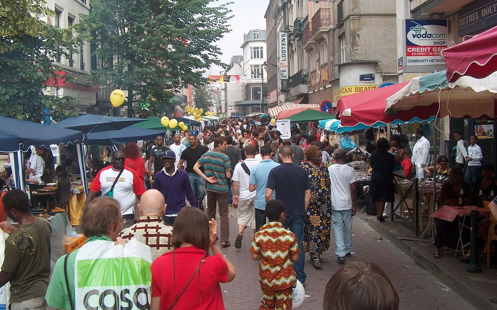
An hour through Brussels' African quarter and the neo-Gothic streets beside it: hairdressers and wax fabric, Congolese kitchens, then Art Nouveau façades and café terraces. Ten minutes from the Royal Quarter, it feels like another city.

7 stops1.8 km30+ min
Sablon & the MarollesThe local mix

Sablon & the Marolles

Two markets, one hill. Up top, chocolate and antiques at weekend prices. A few streets down, the daily brol of the Marolles. Time it for a market morning and the contrast is the whole walk.

8 stops2.5 km40+ min
Cinquantenaire Park & its MuseumsThe essentials

Cinquantenaire Park & its Museums

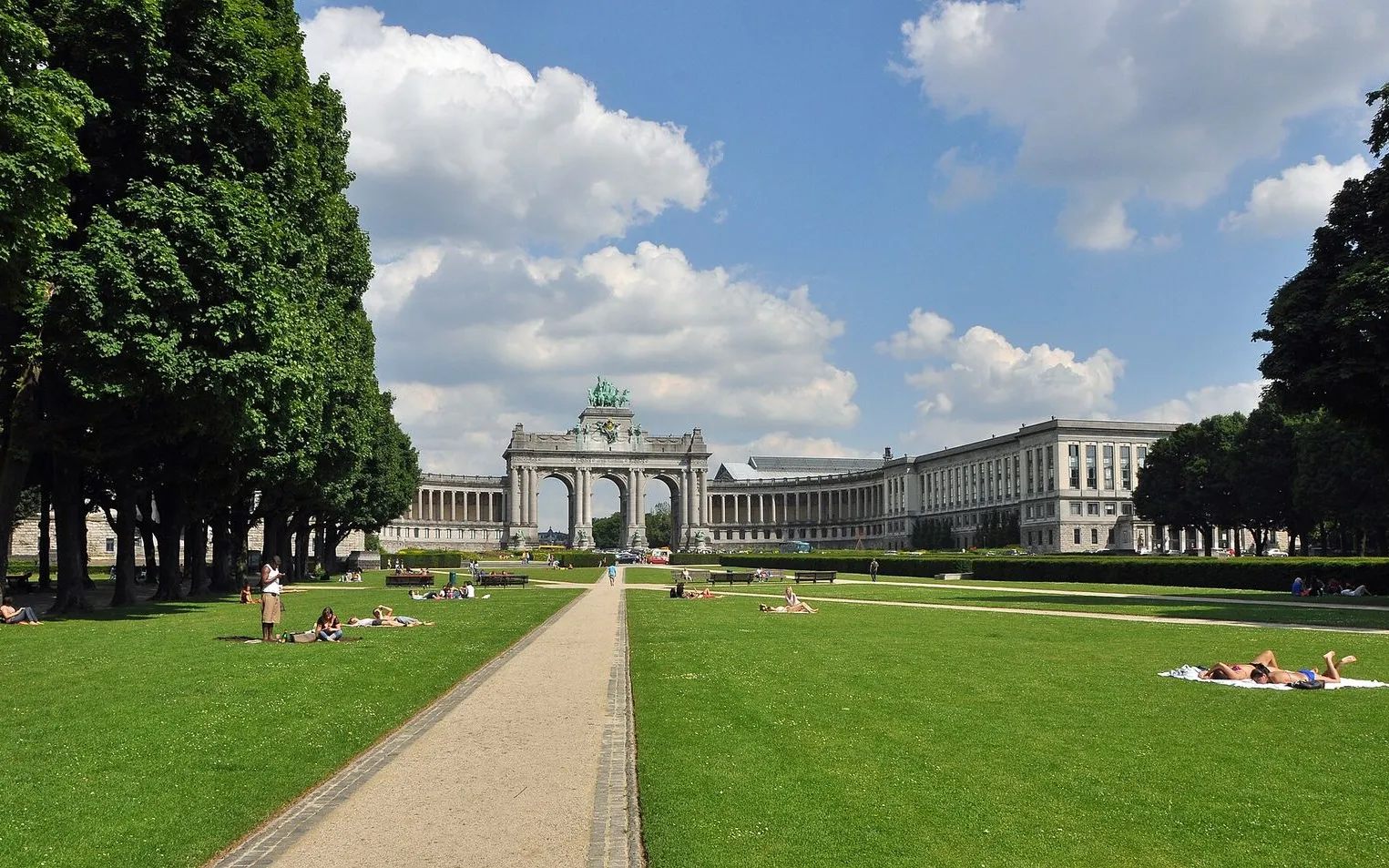
One esplanade, three museums, a park and a rooftop more than 60 meters above Brussels. Cars, marble, aircraft and a bronze chariot keep this walk interesting when the sky gives way.

5 stops1.1 km20+ min
Grand-Place & the Lower TownThe local mix

Grand-Place & the Lower Town

A first walk through the heart of Brussels: a glass-roofed arcade, the square rebuilt in stone after 1695, and the old harbour quays where the city's fish market once stood.

8 stops1.8 km30+ min
Saint-Gilles: Horta & the ParvisThe local mix

Saint-Gilles: Horta & the Parvis

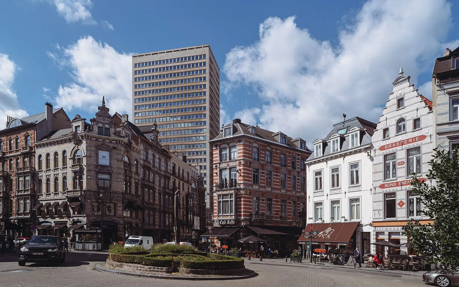
A walk south of the centre through the streets where Belgium's Art Nouveau was built, covered in sgraffito you have to look up to see, and nearly lost, ending on the market square the neighbourhood still lives on.

8 stops4.1 km60+ min

Provenance · last verified September 27, 2026

Built from the Wayside route itself: the stops, their order, and the walk between them.

Photo by Jopparn on Wikimedia Commons · CC BY-SA 3.0

Photo by Marvin Radke on Unsplash

Photo by Fred Romero from Paris, France on Wikimedia Commons · CC BY 2.0

Photo by EmDee on Wikimedia Commons · CC BY-SA 4.0

Photo by TE LUN OU YANG on Unsplash

Photo by Ferran Cornellà on Wikimedia Commons · CC BY-SA 3.0

Photo by Varech on Wikimedia Commons · CC BY-SA 3.0

Photo by Flocci Nivis on Wikimedia Commons · CC BY 4.0

Photo by MJJR on Wikimedia Commons · CC BY 3.0

Photo by Virginia Marinova on Unsplash

Photo by infomatique on Openverse · CC BY-SA 2.0

Coming soon

Wayside isn't in the app stores yet, but it's in the works. Check back soon.