Bordeaux · Self-guided audio walk

La Bastide: Darwin and the Right Bank

Cross the old stone bridge to the right bank, where a military barracks turned into a street-art and skate hub and the riverfront ends in a botanical garden.

  • 5Stops
  • 2.9 kmDistance
  • 40+ minTime
La Bastide: Darwin and the Right Bank

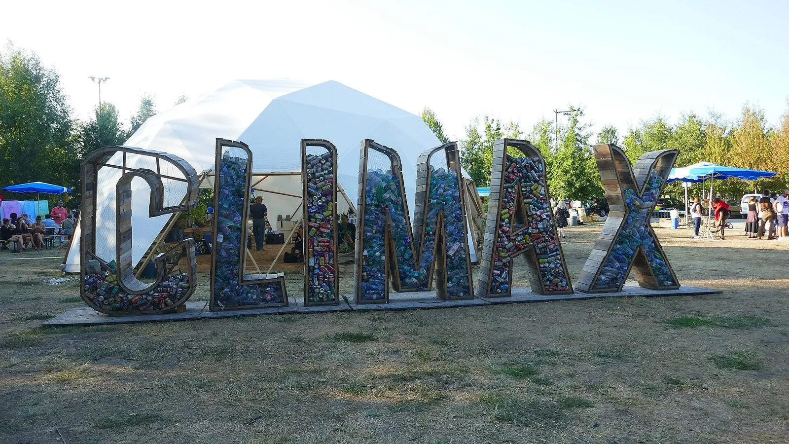
Photo by Grand Parc - Bordeaux, France from France on Wikimedia Commons

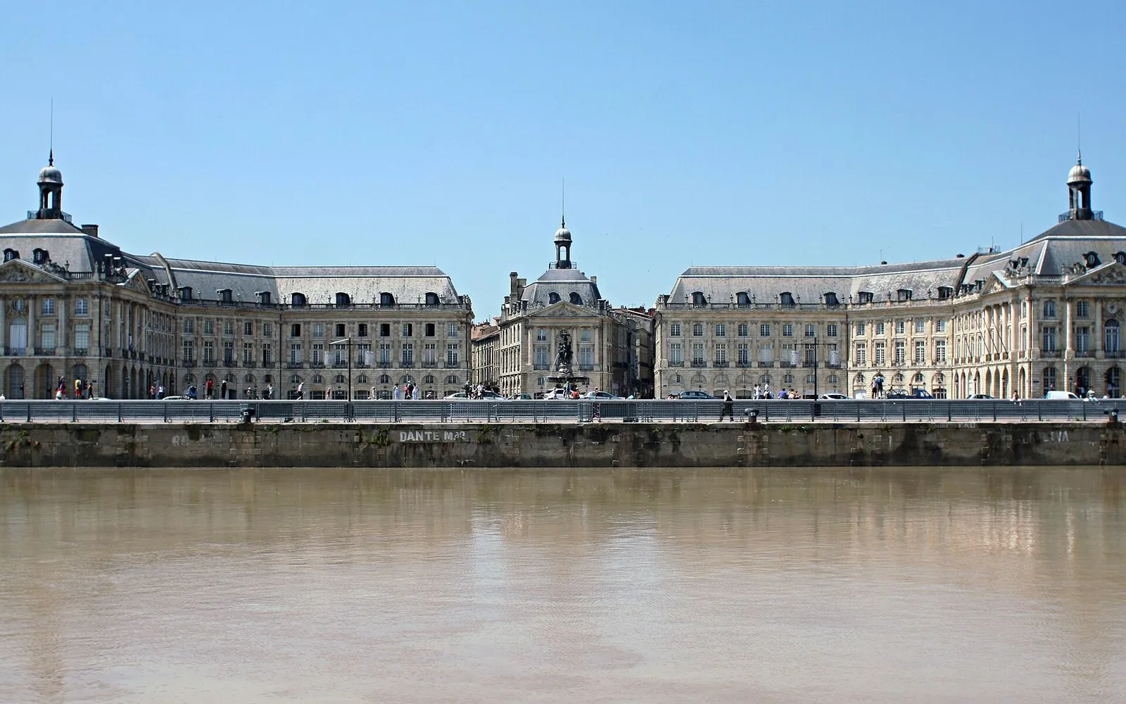
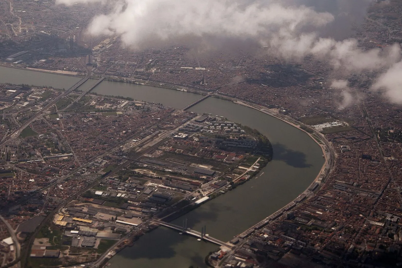
This walk begins on the Pont de pierre and crosses the Garonne into La Bastide, the right-bank neighborhood that grew up facing Bordeaux's grand 18th-century quays. You pass the blue lion of Place Stalingrad, then head north along the river to Darwin, a former military barracks now filled with skate ramps, street art, and food. The walk turns back along the quay for the payoff, the long pale limestone facades of the left bank seen across the water, then ends in the Jardin botanique on esplanade Linné.

Allow about 80 minutes, most of it flat and nearly car-free along the quay. Note for summer 2026: from 23 June to 28 August, tram lines A and E are interrupted across the Pont de pierre while the bridge is restored, so you cannot ride across. The bridge stays open to people on foot, which is exactly how this tour crosses, and relay buses replace the tram between Stalingrad and Quinconces if you need them.

Hear it on the street

Get the turn-by-turn audio guide in the app. The narration plays itself as you reach each stop, hands-free and offline.

Stop by stop

The route

Interactive map of the route. The full stop list below works without it.

Pont de pierreMust see

Photo by OnlineCreation on Unsplash

Pont de pierre

0:00

The 487-metre stone bridge that has linked the two banks since 1822, its 17 arches now free of cars.

You're standing on the Pont de pierre, the first bridge Bordeaux ever built across the Garonne. Until it opened in 1822, reaching the right bank meant a boat or a long detour upstream, so Napoleon ordered a fixed crossing for troops and trade. The engineers Claude Deschamps and Jean-Baptiste Billaudel set 17 arches on 16 piers over 487 metres, building in stone and brick and leaving hollow chambers inside the piers to keep the load light. A favourite story says the 17 arches match the 17 letters of Napoleon Bonaparte, but the early plans actually had 19 and two were dropped, so that tale came later.

Cars were banned in 2017, and since then the deck has belonged to walkers, cyclists, and the tram. One exception is summer 2026, when the tram leaves the bridge for restoration work while people on foot still cross. As you walk, watch how the current piles up and turns around each pier.
≈5 min walk to the next stop
Place StalingradMust see

Photo by Mathis Benguigui on Wikimedia Commons

Place Stalingrad

0:00

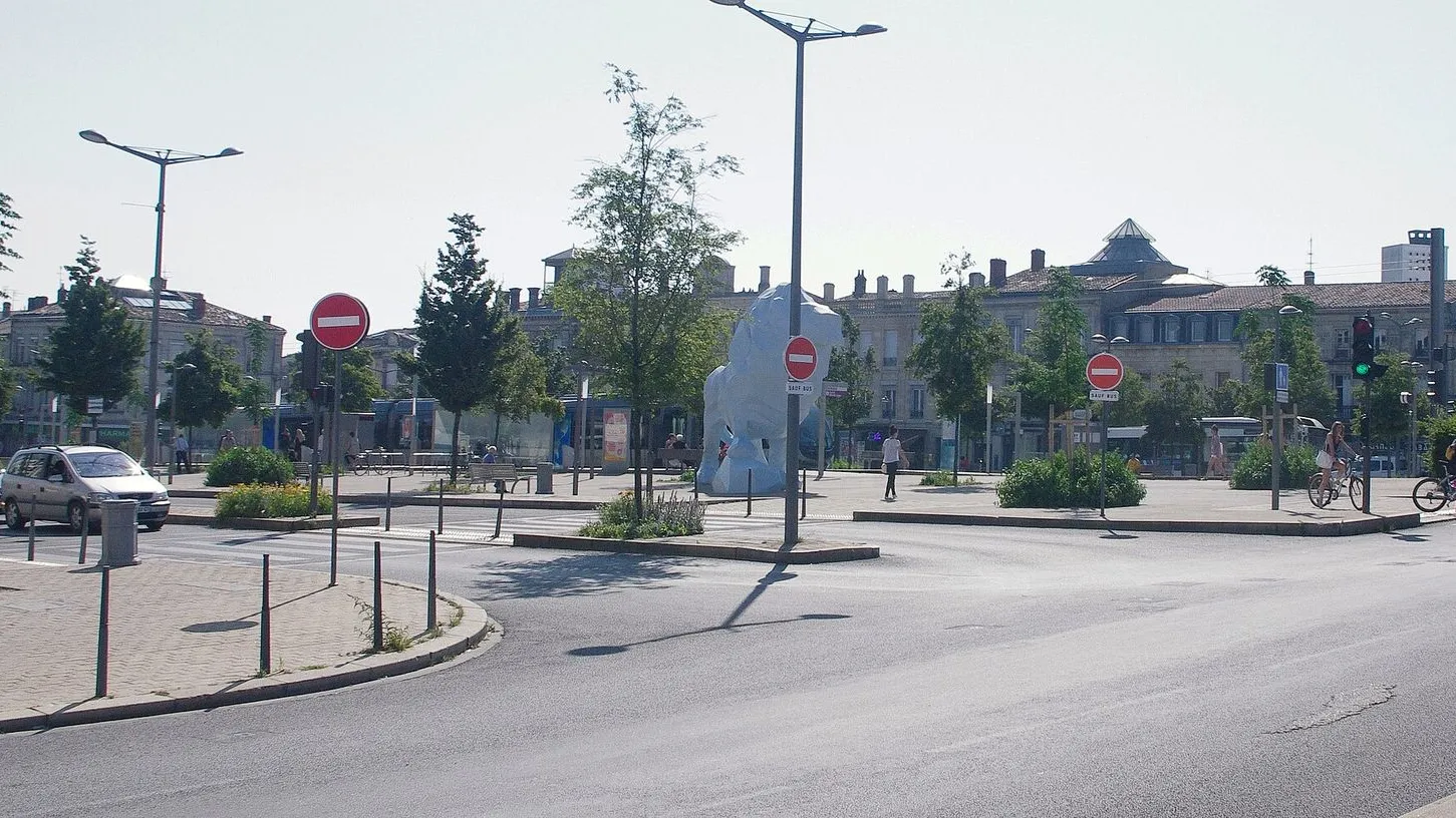
The right-bank square at the bridge's foot, watched over by a six-metre sky-blue lion.

Welcome to Place Stalingrad, the right bank's front door. When the bridge opened this was simply place du Pont, and it kept that practical name until 1946, when Bordeaux renamed the square for the battle that turned the Second World War on the Eastern Front. The square's real character, though, is the creature in front of you: a sky-blue lion, eight metres long and six metres high, installed in 2005 by the artist Xavier Veilhan. It's built of polystyrene covered in resin and fibreglass over a steel frame, and it was commissioned as public art along the then-new tramway.

Veilhan wanted something totemic, big enough to be seen from the left bank, so the lion turns its head toward the old city across the water. Unlike the stone lions on 19th-century war memorials, this one doesn't snarl; it rests one paw on a rock and simply looks. The square was reworked in 2025 and 2026 into a greener space, and the tram still serves it from this side of the river even in summer, when it can't cross the bridge.

≈16 min walk to the next stop
Darwin EcosystemLocal pick

Photo by Ji-Elle on Wikimedia Commons

Darwin Ecosystem

0:00

A former military barracks reborn as a street-art, skate, and food ecosystem inside old brick warehouses.

You're at the gate of Darwin, but for more than a century this was the Caserne Niel, a closed military compound. The first buildings here went up in 1865 as the Magasins généraux, where goods unloaded from river barges were stored before being railed out from the Gare d'Orléans. The army took over in the 1870s and named the site for Marshal Adolphe Niel, Napoleon III's minister of war, and soldiers stayed until 2005. After they left, street artists moved into the empty walls, and in 2009 the entrepreneur Philippe Barre bought about a hectare of the site to build this.

The old technical hangar now holds a 2,000-square-metre indoor skatepark, free and open to everyone. The officers' mess is the Magasin Général, an organic grocery and restaurant with a terrace on the Garonne, and the giant murals you can see get repainted every year. Behind them, more than 200 small companies, studios, and associations share the courtyards, along with an urban farm of beehives, chickens, and vegetable beds.

≈9 min walk to the next stop
Free preview ends here · stops 4 to 5 continue in the app

Quai des Queyries

The riverside walk where the whole left bank opens up, a long pale row of 18th-century facades.

in app

Jardin botanique de la Bastide

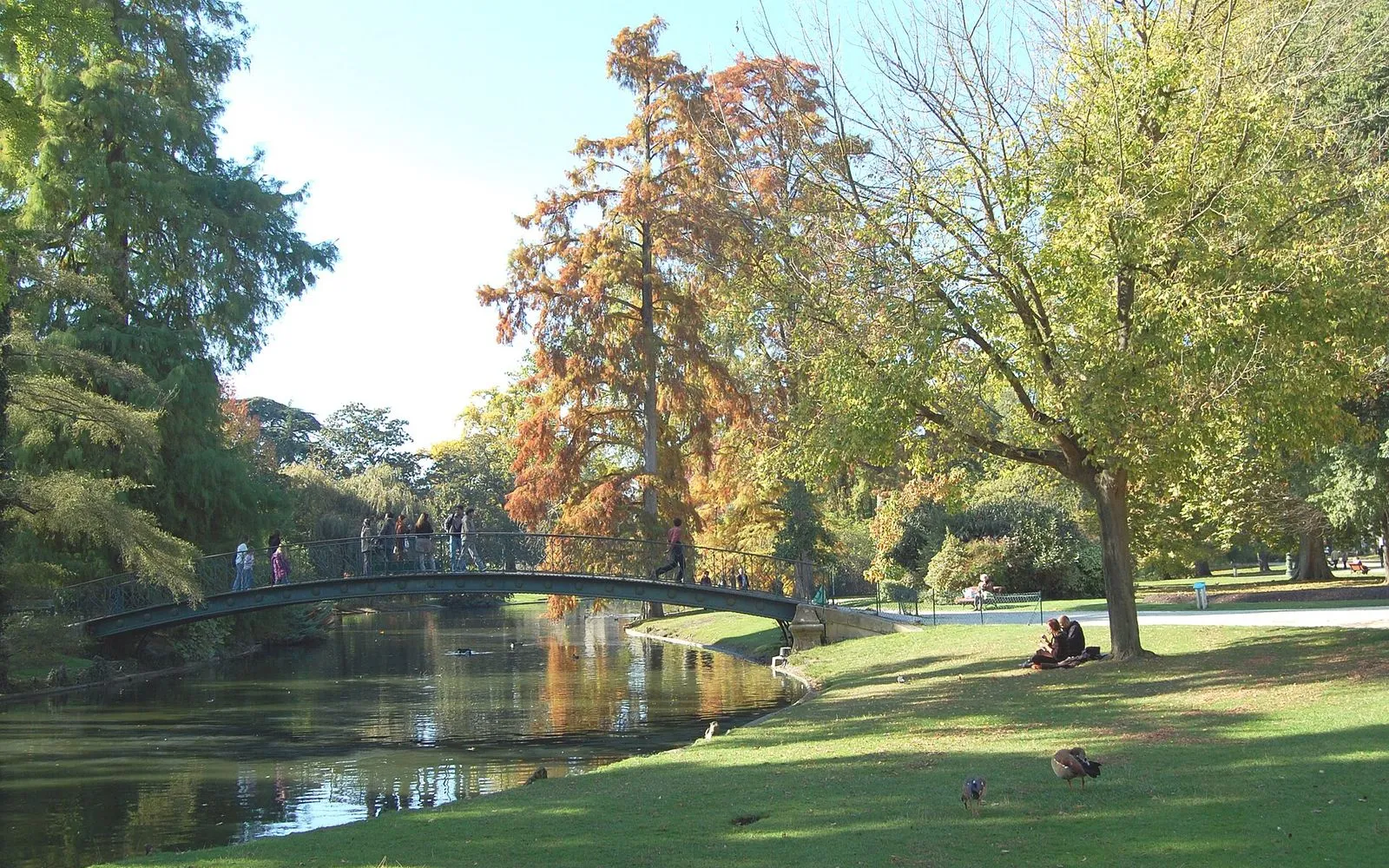
Bordeaux's modern botanical garden, opened in 2003 along the Garonne, with water gardens and eleven Aquitaine landscapes.

in app
Good to know

Before you go

Can I still cross the Pont de pierre in summer 2026?

Yes, on foot. Tram lines A and E are interrupted across the bridge from late June to late August 2026 while it is restored, but the bridge stays open to people walking, and relay buses replace the tram between Stalingrad and Quinconces.

SourceTBM, Transports Bordeaux Métropoleactu Bordeaux on the Pont de pierre works
What is Darwin?

A former military barracks turned street art, skate, and food ecosystem in old brick warehouses on the right bank. Go for the murals and the bars, or just to see a different Bordeaux.

Where is the best view of the left bank?

From the Quai des Queyries, walking back south along the river, the long pale row of 18th-century facades opens up across the water, especially in the evening light.

Provenance · last verified August 22, 2026

Built from the Wayside route itself: the stops, their order, and the walk between them.

Photo by Grand Parc - Bordeaux, France from France on Wikimedia Commons · CC BY 2.0

Photo by OnlineCreation on Unsplash

Photo by Mathis Benguigui on Wikimedia Commons · CC BY-SA 3.0

Photo by Ji-Elle on Wikimedia Commons · CC BY-SA 4.0

Photo by Pline on Wikimedia Commons · CC BY-SA 3.0

Photo by Remi Jouan on Wikimedia Commons · CC BY 3.0

Photo by Matthias v.d. Elbe on Wikimedia Commons · CC BY 4.0

Photo by Coyau on Wikimedia Commons · CC BY-SA 3.0

Photo by Ardfern on Wikimedia Commons · CC BY-SA 3.0

Photo by Matthew Perosi on Wikimedia Commons · CC BY-SA 3.0

Coming soon

Wayside isn't in the app stores yet, but it's in the works. Check back soon.