La Rochelle · Self-guided audio walk

Under the Old Town Arches

La Rochelle's other signature runs overhead: stone arcades that began as merchants' canvas awnings. Follow them from the Grosse Horloge, through the cathedral square and the market, to the town hall reborn from fire.

  • 11Stops
  • 2.1 kmDistance
  • 40+ minTime
Under the Old Town Arches

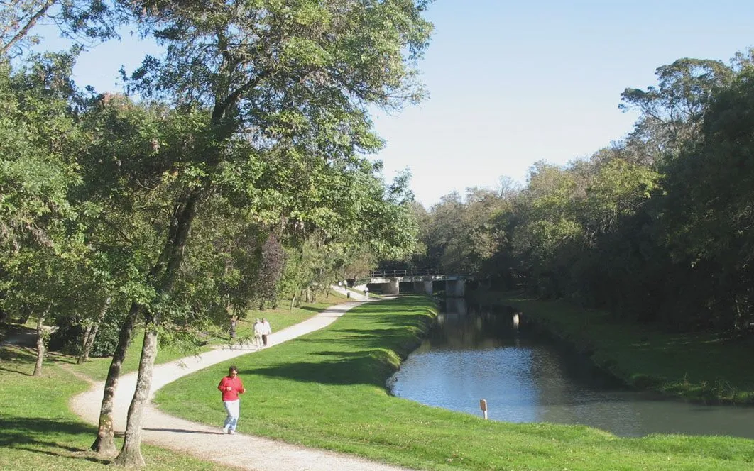
Photo by Robert Cutts on Openverse

This walk follows the arcaded spine of La Rochelle's old town, the covered lanes that locals treat as a second port. You begin under the Grosse Horloge, the gate that once separated the quays from the city, and thread north through the Rue du Palais and the Rue Chaudrier, where shopfronts still sit behind stone piers.

The route then opens onto the Place de Verdun: a classical cathedral begun in 1742, a Belle Époque café, and a museum in an eighteenth-century mansion that faces the Atlantic and slave-trade wealth behind these very streets.

It ends the way a local morning does, at the covered market under its nineteenth-century glass roof, where Wednesday and Saturday stalls spill into the lanes, and finally at the Renaissance town hall, oldest in France still at work.

Hear it on the street

Get the turn-by-turn audio guide in the app. The narration plays itself as you reach each stop, hands-free and offline.

Stop by stop

The route

Interactive map of the route. The full stop list below works without it.

Grosse HorlogeMust see

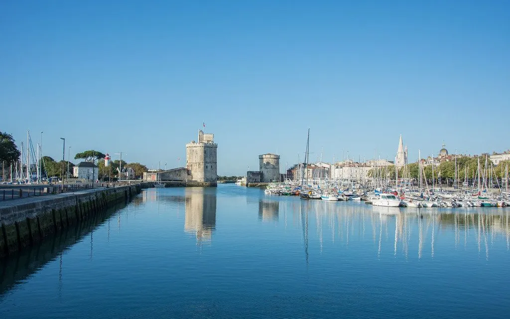
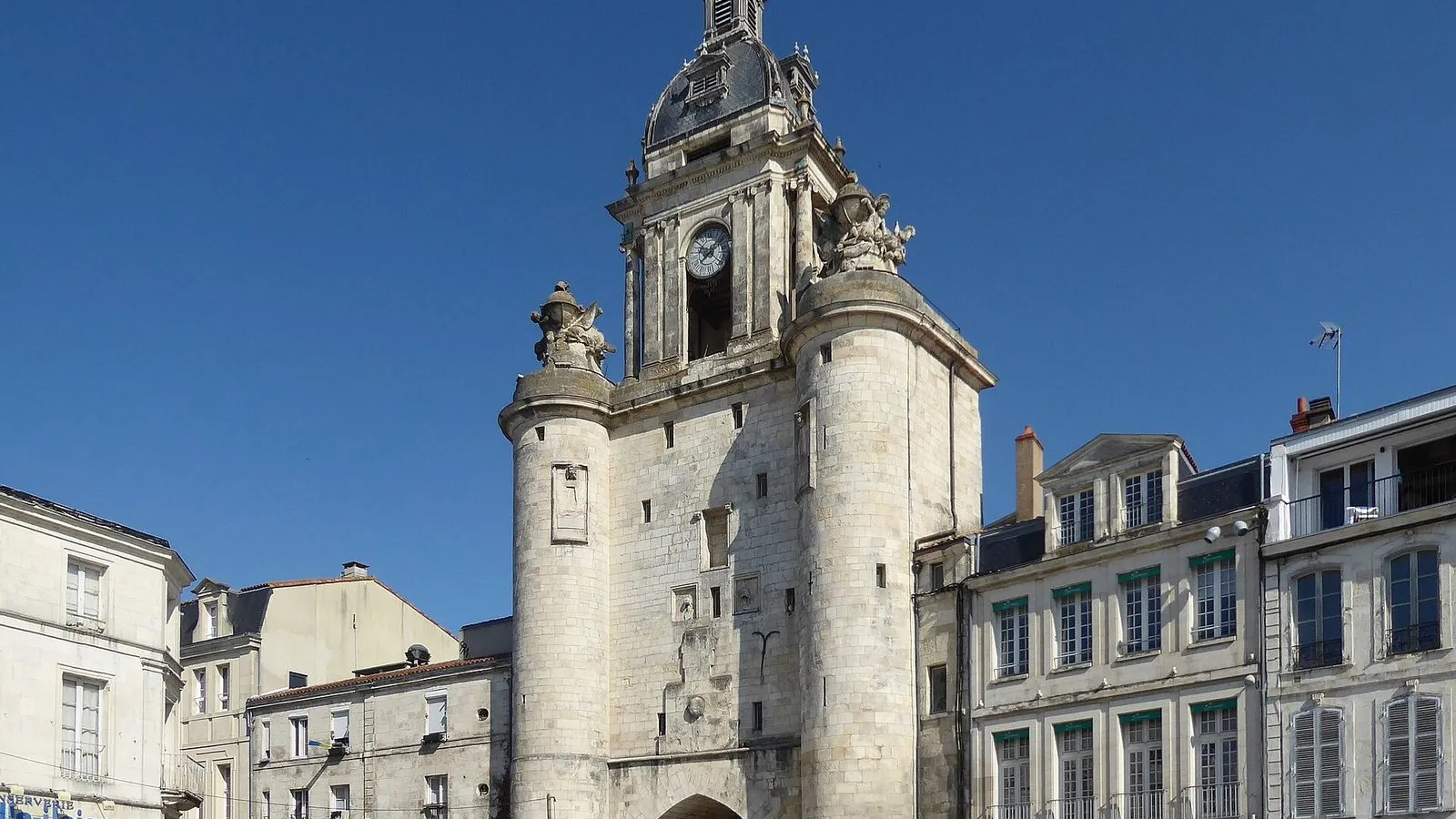
Photo by Chris06 on Wikimedia Commons

Grosse Horloge

0:00

The old gate and clock that split port from city.

You're standing under the Grosse Horloge, the old gate that once split La Rochelle in two, the port on one side and the city on the other. The first medieval wall had a gate right here, but almost nothing you can see is that old. The gate was rebuilt more than once, and the whole upper clock tower was taken down and rebuilt between 1744 and 1746. The upper part now looks like a gilded Louis XV clock case in stone and iron, not a fortress.

The clock and its bell went up in 1478, after years of the townspeople pressing the council for a public clock. The bell inside is called Suzanne, and for years it rang to announce elections, the death of a mayor, the big news of the town. Look at the single wide arch: it used to be two, one for carts and one for people, joined into one in 1672 to ease the traffic. In the early twentieth century a tram even ran through this arch on its way to the Place de Verdun.
≈3 min walk to the next stop
Rue du PalaisMust see

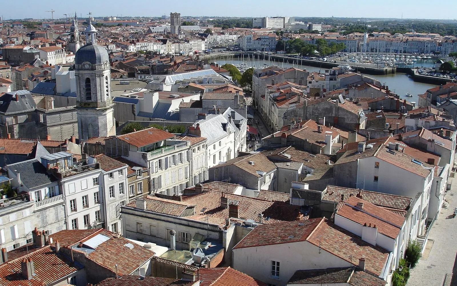
Photo by Guilhem Vellut from Annecy, France on Wikimedia Commons

Rue du Palais

0:00

The arcaded main street, once the town's trade spine.

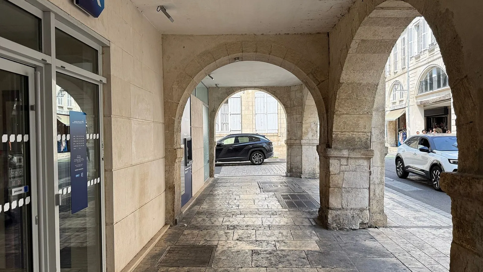
You're on the Rue du Palais, the old spine of La Rochelle. It runs from the gate behind you to the Place de Verdun ahead, and for centuries it carried most of the town's trade. The name has nothing to do with royalty; it comes from the palais de justice, the law courts that have stood along here since the time of Henri IV. The current courthouse, finished just before the Revolution, shows Corinthian columns and a pediment, and its builders scraped off the fleurs-de-lys and carved the words Temple of Justice under the reign of Liberty and Equality.

Look at the arcades on both sides. They are the reason this street works in any weather, shade in summer and cover in the rain. Look at the stone piers too: they once held iron rings and chains, with a collar locked around the neck of anyone the court had convicted, so the whole town could jeer. Commerce and punishment shared the same pavement.

≈3 min walk to the next stop
Rue ChaudrierLocal pick

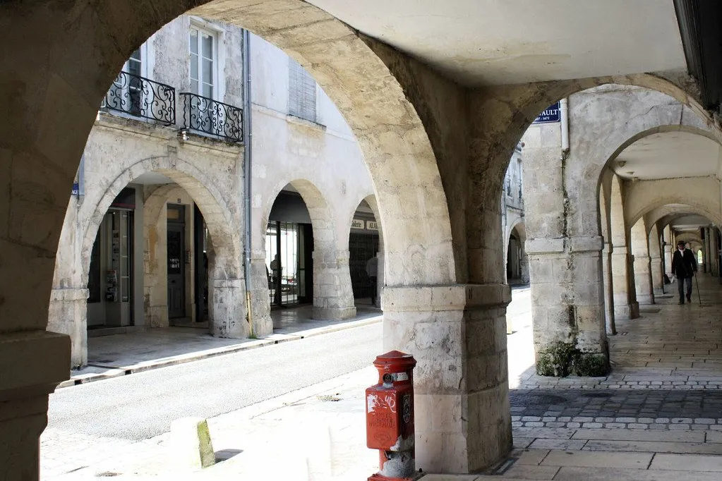
Photo by Chabe01 on Wikimedia Commons

Rue Chaudrier

0:00

The arcaded street named for the mayor who expelled the English.

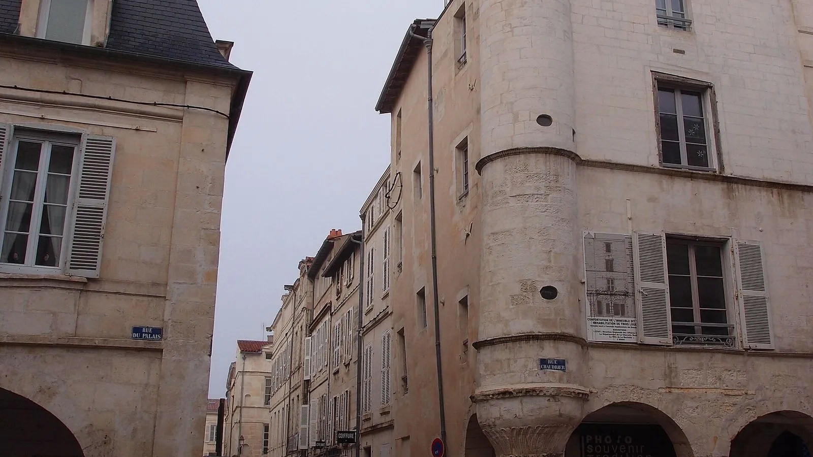
You've turned onto the Rue Chaudrier, named for the mayor remembered for the trick that drove the English garrison out of La Rochelle in 1372. For a long time this street and the Rue du Palais behind you were a single road, the rue des Chaudriers, running from the Grosse Horloge to the Place de Verdun, and the two halves split only later. As you walk, glance up at the corner buildings. On one roofline sits a small stone dog, the effigy of a pet that belonged to a sixteenth-century mayor named Pineau, and the whole corner was nicknamed the Lève-Nez.

The arcades here work the same way as on the Rue du Palais, stone piers holding up the floors above so the pavement stays dry and shaded. Each arch was built by the merchant who traded beneath it, one pier at a time, which is why no two are quite the same. At the top of the street, number 54, is a café that looks like a Parisian Belle Époque salon set down in a port town.

≈3 min walk to the next stop
Free preview ends here · stops 4 to 11 continue in the app

Café de la Paix

A Belle Époque café in a listed room.

in app

Cathédrale Saint-Louis

The classical cathedral with Bouguereau's painted dome.

in app

Place de Verdun

The open square that replaced the old château.

in app

Musée du Nouveau Monde

Atlantic and slave-trade history in a merchant mansion.

in app

Rue du Minage

A narrow old lane the morning market fills.

in app

Marché Central

The nineteenth-century covered market and its morning trade.

in app

Rue des Merciers

The arcades that grew from merchants' awnings.

in app

Hôtel de Ville

France's oldest working town hall, risen from fire.

in app
Good to know

Before you go

Do I need a ticket for the arcaded old town?

The arcaded old town needs no ticket. The arcades, the cathedral, and the streets are free to walk. The one paid stop on this route is the Musée du Nouveau Monde, and the €15 towers-and-museum joint ticket sold at the harbor towers covers it.

SourceCentre des monuments nationaux
When is the Marché Central at its best?

The Marché Central is a working covered market, and on Wednesday and Saturday mornings the stalls spill out into the surrounding lanes, which is when the quarter feels most alive.

Where should I stop for coffee?

Café de la Paix on Place de Verdun is the one: a Belle Époque café in a listed room, facing the cathedral square.

Provenance · last verified September 9, 2026

Built from the Wayside route itself: the stops, their order, and the walk between them.

Photo by Robert Cutts on Openverse · CC BY-SA 2.0

Photo by Chris06 on Wikimedia Commons · CC BY-SA 4.0

Photo by Guilhem Vellut from Annecy, France on Wikimedia Commons · CC BY 2.0

Photo by Chabe01 on Wikimedia Commons · CC BY-SA 4.0

Photo by Gilbert Bochenek on Wikimedia Commons · Public domain

Photo by mangMangW on Openverse · CC BY 2.0

Photo by Jeremy Ainsworth on Wikimedia Commons · CC BY-SA 3.0

Coming soon

Wayside isn't in the app stores yet, but it's in the works. Check back soon.