Strasbourg · Self-guided audio walk

Petite France and the Covered Bridges

Half-timbered tanneries, three medieval towers, and one free rooftop view over the Ill.

  • 5Stops
  • 0.8 kmDistance
  • 15+ minTime
Petite France and the Covered Bridges

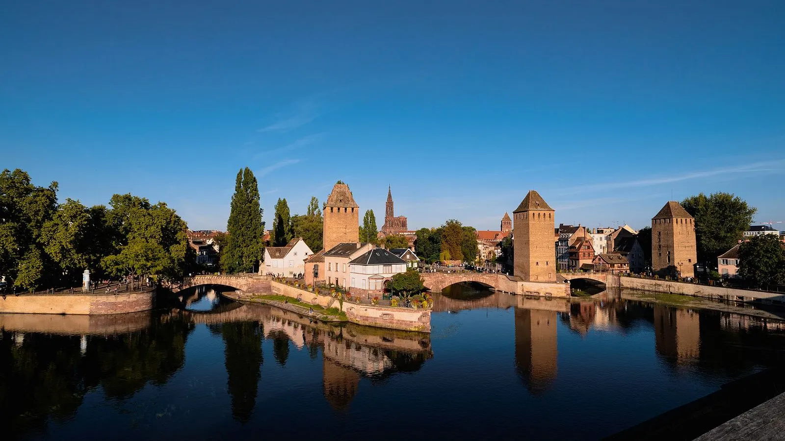
Photo by Alex Tomaras on Wikimedia Commons

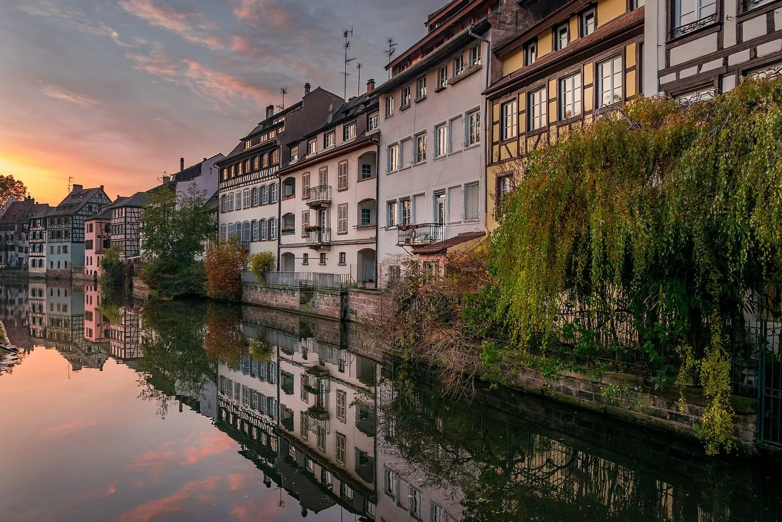
Petite France is the picture of Strasbourg that everyone brings home: half-timbered houses leaning over the Ill, lock gates, and the three towers of the Ponts Couverts. This loop stays in the old tanners' quarter and the locks just west of it, the way a local would show a friend around.

The walk begins at the Maison des Tanneurs from 1572, follows the lane where hides were dressed, crosses the old covered bridges, and ends on the free roof terrace of the Barrage Vauban, where the whole quarter lines up in a single view. Plan about 30 minutes of walking, and longer if you stop at a winstub or a café along the water.

Hear it on the street

Get the turn-by-turn audio guide in the app. The narration plays itself as you reach each stop, hands-free and offline.

Stop by stop

The route

Interactive map of the route. The full stop list below works without it.

Place Benjamin ZixLocal pick

Photo by DimiTalen on Wikimedia Commons

Place Benjamin Zix

0:00

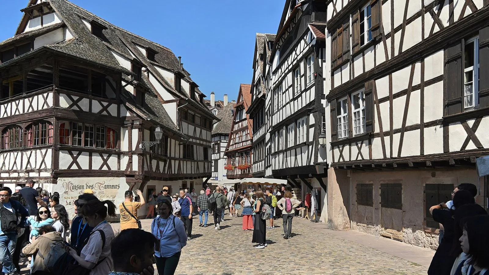
The waterside square that frames the Maison des Tanneurs, the 1572 tanners' house with open drying galleries.

You're in Place Benjamin Zix, the little waterside square in the middle of Petite France. The big half-timbered house leaning over the water is the Maison des Tanneurs, the tanners' house at number 42 rue du Bain-aux-Plantes. It went up in 1572, when this lane was the working heart of the tanners' quarter. Look at the top: those open galleries under the roof are where hides were hung to dry, and the openings in the roofline let the river air blow through.

Down at the water, tanners soaked their skins in the Ill before dressing them. The house now smells of sauerkraut more than soaking hides, because in 1949 a group of eight Alsatian winegrowers turned it into a winstub, and the same family has run it since 1956. The façades and roofs have been listed as a historic monument since 1927. The square is named for Benjamin Zix, a painter and sculptor born in Strasbourg in the 18th century.

When you're ready, leave the square along the lane beside the house, and the old tanners' street stretches ahead.

≈3 min walk to the next stop
Rue du Bain-aux-PlantesLocal pick

Photo by Vanessa Restrepo on Unsplash

Rue du Bain-aux-Plantes

0:00

The tanners' lane, a row of white half-timbered houses whose open drying attics still mark the old trade.

From this end, the whole lane lines up in front of you: a row of white half-timbered houses running back toward the square, each capped with an open attic for drying hides. The street takes its name from the tanning pits, the bains, where skins soaked in water and crushed bark to loosen the hair and soften the leather. German-speaking Strasbourg knew it as the Pflanzbad, the plant bath, and the trade was dirty and sharp smelling, which is why it sat on this wet western edge of the island. Look up at the rooflines: the oldest houses have dormered attics pierced for air, a mark of the drying rooms, and several still keep their timber galleries over the canal. The Ill ran along one side for rinsing the skins, and a ditch called the Fossé des Tanneurs separated this lane from the next quarter until it was filled in 1840. When you're ready, walk south toward the water, where the three towers come into view.

≈3 min walk to the next stop
Ponts CouvertsMust see

Photo by Flocci Nivis on Wikimedia Commons

Ponts Couverts

0:00

Three sandstone bridges and their 13th-century towers, the old water gate of the island.

You are looking at the Ponts Couverts, the covered bridges, and it is worth saying plainly: they have not been covered since the eighteenth century. The wooden galleries and their tiled roofs came down in 1784, and the sandstone spans you see today were rebuilt between 1863 and 1865. The name simply refused to leave. The towers are older still, raised in the 13th century as the western water gate of the city.

Four towers once stood here, joined by those covered galleries, with a timber wall and arrow slits facing any boat that tried to come upstream. From about 1570, iron portcullises could be dropped to shut the river completely. Three towers survive, and for centuries they worked as prisons, until the cells closed in 1823. Walk onto the middle bridge and watch the water move through the arches, then head west toward the long dam beyond them.

≈2 min walk to the next stop
Free preview ends here · stops 4 to 5 continue in the app

Barrage Vauban

A 1690s fortified dam with a free roof terrace that frames the whole quarter in one view.

in app

Musée d'Art moderne et contemporain de Strasbourg

A 1998 museum in a long glass nave on the south bank, built around the works of Doré and Arp.

in app
Good to know

Before you go

Is Petite France free to visit?

Yes, the quarter is public streets and towpaths. The Barrage Vauban roof terrace is free too.

Where should I eat on this walk?

Maison des Tanneurs is the obvious lunch, a half-timbered 1572 house that is now a winstub on the water.

What is the best time of day for photos?

Late afternoon light hits the western facades, and the Ponts Couverts towers reflect in the Ill.

Provenance · last verified August 22, 2026

Built from the Wayside route itself: the stops, their order, and the walk between them.

Photo by Alex Tomaras on Wikimedia Commons · CC BY-SA 4.0

Photo by DimiTalen on Wikimedia Commons · CC0

Photo by Vanessa Restrepo on Unsplash

Photo by Flocci Nivis on Wikimedia Commons · CC BY-SA 4.0

Photo by Niklas König on Unsplash

Photo by Mikheil Kuzmidi on Unsplash

Photo by Guilhem Vellut from Annecy, France on Wikimedia Commons · CC BY 2.0

Photo by Jerome SXB on Wikimedia Commons · CC BY 2.0

Coming soon

Wayside isn't in the app stores yet, but it's in the works. Check back soon.