Toulouse · Self-guided audio walk

The Brienne Canal to the Bazacle

Follow a water engineer's line through Toulouse, from the junction where three canals meet down to a power station that has run on the Garonne since 1888.

  • 6Stops
  • 2.8 kmDistance
  • 40+ minTime
The Brienne Canal to the Bazacle

Photo by Didier Descouens on Wikimedia Commons

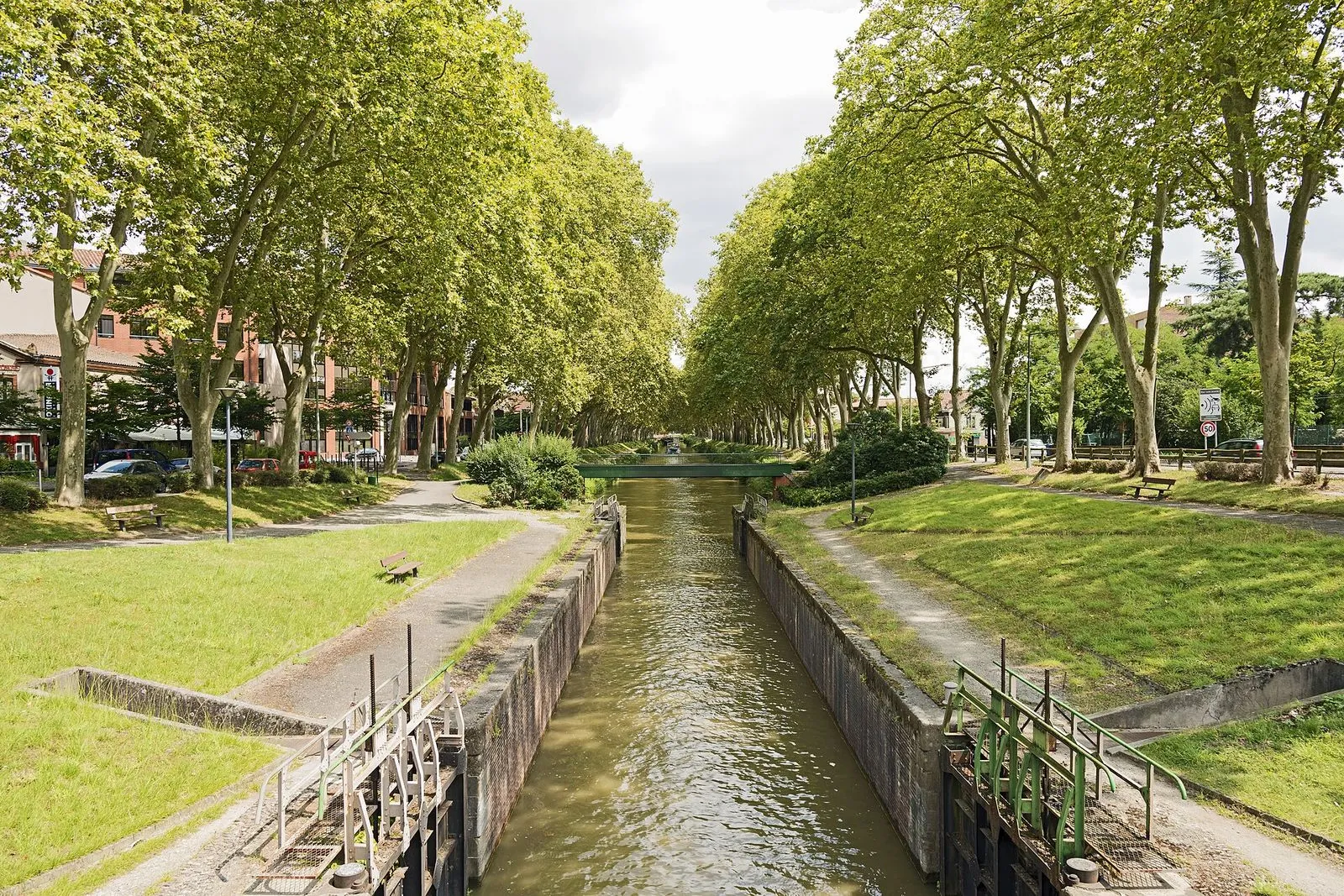
This is the quiet, working side of Toulouse's water. The walk begins where three canals meet at the Ponts Jumeaux and works down the Canal de Brienne, a UNESCO-listed stretch 1,560 meters long, to the Garonne.

Along the way you pass the Bassins des Filtres, dug in 1842 to settle the river's mud before it fed the Canal de Garonne, and a guinguette under an old cedar. The Saint-Pierre double lock drops the canal to river level beside a newly planted square.

The walk ends on the Bazacle terrace, above a weir first raised in 1190 and a hydroelectric station that still generates today. Entry is free and the turbines are visible, though the hours are worth checking.

Hear it on the street

Get the turn-by-turn audio guide in the app. The narration plays itself as you reach each stop, hands-free and offline.

Stop by stop

The route

Interactive map of the route. The full stop list below works without it.

Ponts JumeauxLocal pick

Photo by Didier Descouens on Wikimedia Commons

Ponts Jumeaux

0:00

Where three canals meet under twin 18th-century bridges.

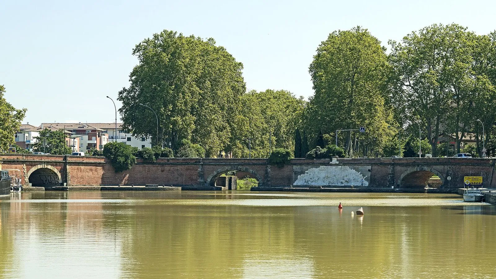
You're standing where three canals meet. The Canal du Midi sets out for the Mediterranean from here, the Canal de Garonne heads west toward Bordeaux, and the Canal de Brienne drops away toward the Garonne, its whole 1,560-meter course lying ahead of you. That short canal is the spine of this walk, and it is inscribed with the Canal du Midi on the UNESCO list of 1996. The twin bridges ahead were built in 1771 and 1774, and between them stands a long relief in Carrara marble carved by François Lucas between 1773 and 1775.

It has been a listed monument since 1967. Look beyond the marble and you'll see what a late-1970s ring road did to this junction: a line of traffic that cuts straight across the old canal basin. The double row of plane trees that lines the water earned the Arbres remarquables de France label in 2017.
≈5 min walk to the next stop
Bassins des FiltresLocal pick

Photo by Don-vip on Wikimedia Commons

Bassins des Filtres

0:00

The 1842 basins that settled the Garonne's mud.

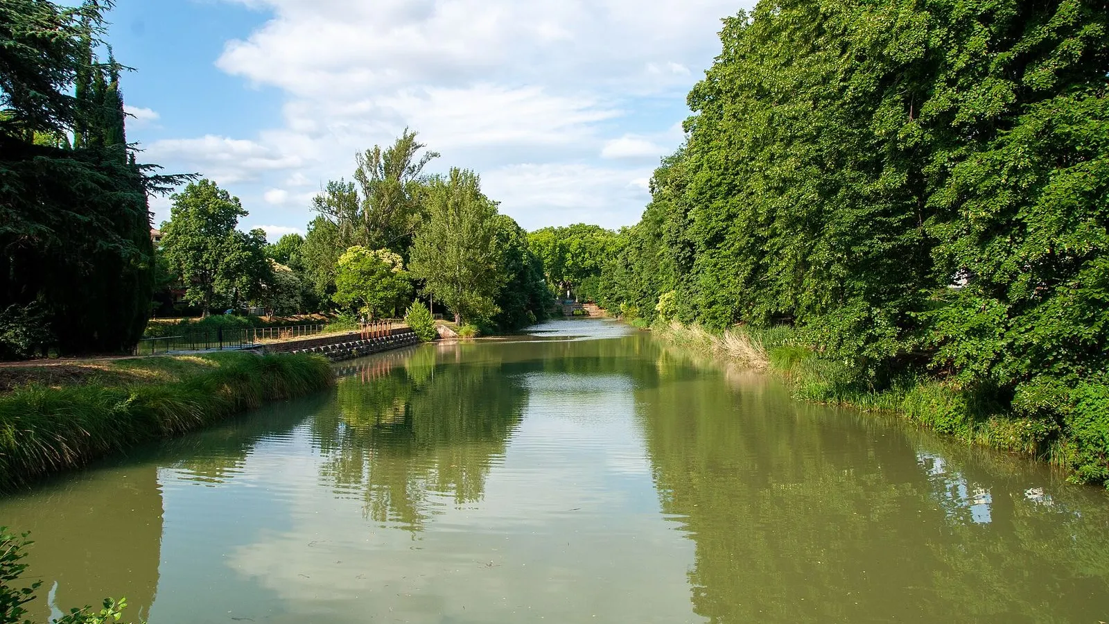
You're looking at a piece of plumbing, and that's the whole point. These basins were dug in 1842 to clean water. The Canal de Garonne needed a steady supply, and the river it drew from came down full of mud. So the water was held here, in these wide, shallow basins, long enough for the silt to settle to the bottom before the clear water ran on into the canal.

The shape does the work: wide and slow, giving the current no chance to carry its load. For more than a century this was the canal's filter, a quiet machine of water with no moving parts. It stopped filtering last century, when the canal's needs changed and the basins were left to become what they are now, a sheet of still water behind the trees. The Garonne still runs brown after rain, and standing here you can see exactly the problem the engineers of 1842 set out to solve.

≈1 min walk to the next stop
Le Gros ArbreLocal pick

Photo by kallerna on Wikimedia Commons

Le Gros Arbre

0:00

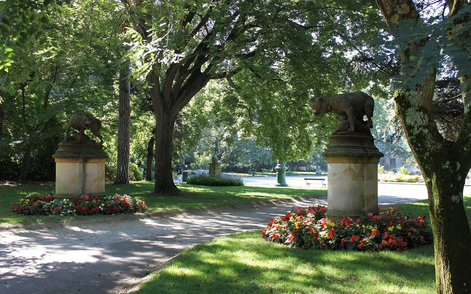
A guinguette under an old cedar beside the filter basins.

The house in front of you was the keeper's, from the days when someone lived beside these basins and watched the levels every day, and the tree towering over it gives the place its name. This is Le Gros Arbre, a guinguette under an old cedar beside the filter basins. A guinguette was an open-air spot where people came to drink and dance by the water, and this one still keeps that habit alive. The cedar above it has grown wide enough to hold the whole terrace in its shade, and the tables run down to the edge of the water. It keeps guinguette hours rather than cafe hours, so check before you count on a drink here. This is the point on the walk where the water stops being infrastructure and turns into something people use, and twenty minutes under the big tree is a fair way to take that in, with the basins in front of you the way they have been since the engineers filled them.

≈16 min walk to the next stop
Free preview ends here · stops 4 to 6 continue in the app

Héraklès archer

Bourdelle's bronze archer, a memorial to fallen sportsmen.

in app

Écluse Saint-Pierre

A working double lock, oval like Riquet's originals.

in app

Espace EDF Bazacle

A working hydropower station above the Garonne weir.

in app
Good to know

Before you go

Is the Espace EDF Bazacle free to visit?

Yes, the Espace EDF Bazacle is free to enter. The visitor space reopened on 30 May 2026 and is open daily from 10am to 6pm, closing on 1 January, 1 May and 25 December. Inside you can follow a self-guided route on energy, biodiversity and the heritage of a hydropower station that has run on the Garonne since 1888. The tourist office also continues its guided Lumière sur le Bazacle tours for a closer look.

Where does the walk start and end?

Start at the Ponts Jumeaux, where three canals meet under twin 18th-century bridges. The walk follows the Canal de Brienne, a UNESCO-listed stretch, past the Bassins des Filtres dug in 1842 and the Saint-Pierre double lock. It ends on the terrace of the Espace EDF Bazacle, above a weir first raised in 1190 and a hydroelectric station that still generates today. The Garonne is beside you for the final stretch.

Provenance · last verified August 27, 2026

Built from the Wayside route itself: the stops, their order, and the walk between them.

Photo by Didier Descouens on Wikimedia Commons · CC BY-SA 4.0

Photo by Didier Descouens on Wikimedia Commons · CC BY-SA 3.0

Photo by Don-vip on Wikimedia Commons · CC BY-SA 4.0

Photo by kallerna on Wikimedia Commons · CC BY-SA 4.0

Photo by Pistolero on Wikimedia Commons · CC BY 3.0

Photo by c gom on Unsplash

Photo by Nick Castelli on Unsplash

Photo by M.Strīķis on Wikimedia Commons · CC BY-SA 3.0

Photo by FrDr on Wikimedia Commons · CC BY-SA 4.0

Coming soon

Wayside isn't in the app stores yet, but it's in the works. Check back soon.