Bristol · Self-guided audio walk

Harbourside and the Working Harbour

Bristol's Floating Harbour, from the Watershed to the sluices: a cinema in Victorian transit sheds, a gallery in a warehouse, working cranes, container lunch counters, Brunel's ship in her dock, and the sluices that hold the water.

  • 8Stops
  • 2.7 kmDistance
  • 45+ minTime
Harbourside and the Working Harbour

Photo by Lewis Clarke on Wikimedia Commons

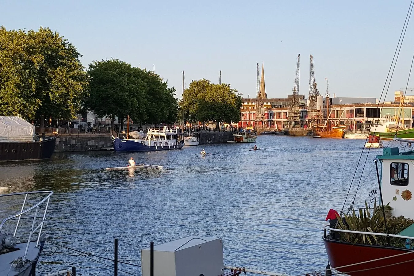
This walk follows Bristol's Floating Harbour, from the Watershed to Underfall Yard, about two and a half kilometres of quay. The thread is water: a harbour engineered in 1809 to hold its level whatever the tide outside was doing, then a dock that lost its cargo and found other uses for its sheds, cranes and warehouses.

M Shed and the Arnolfini are free, Underfall Yard is free to wander, and adult tickets for the SS Great Britain are 22 pounds online and 25 pounds on the door. M Shed, the Arnolfini and the SS Great Britain close on Mondays, so the walk works Tuesday to Sunday, mid-morning to late afternoon. Give it about forty-five minutes, far longer if you go into the museums or aboard the ship.

Nothing else in Bristol lines up a ship, a working yard and lunch on the quay in one stretch. Six stops are the bones of it, and two more sit on the quay between them, where the dockside railway ran.

Hear it on the street

Get the turn-by-turn audio guide in the app. The narration plays itself as you reach each stop, hands-free and offline.

Stop by stop

The route

Interactive map of the route. The full stop list below works without it.

WatershedLocal pick

Photo by Steve Daniels on Wikimedia Commons

Watershed

0:00

Britain's first media centre, opened in 1982 in 1890s transit sheds.

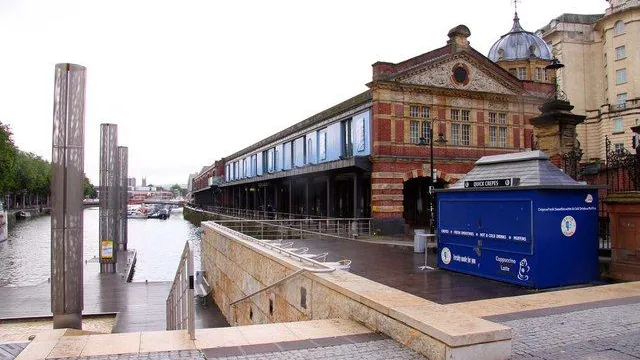
You're standing at the gateway to the Harbourside, in front of two transit sheds built in 1894 to shelter cargo on its way between quay, railway and road. The brick and ironwork are Grade II listed, and for years the pair stood derelict beside water the city had stopped using. In June 1982 the Watershed opened on the upper floor as Britain's first media centre, put together with the British Film Institute, just as Channel 4 was starting. It was the first full-time multi-screen independent cinema outside London, and it did something new for this quay: it brought people back to the water to watch things rather than to work them.

Three cinemas sit up the stairs, along with a café and a bar. One thing to know before you walk on: the gallery at your next stop showed work and launched its film programme in the W shed here in 1973, while its own warehouse was being refurbished. Two venues a few hundred metres apart, swapping roles on the same quay, and all of it standing on water that has to be held at a level by machinery at the far end of the harbour.
≈5 min walk to the next stop
ArnolfiniMust see

Photo by Photographed by Adrian Pingstone on Wikimedia Commons

Arnolfini

0:00

Free contemporary art gallery in Bush House, a converted quay warehouse.

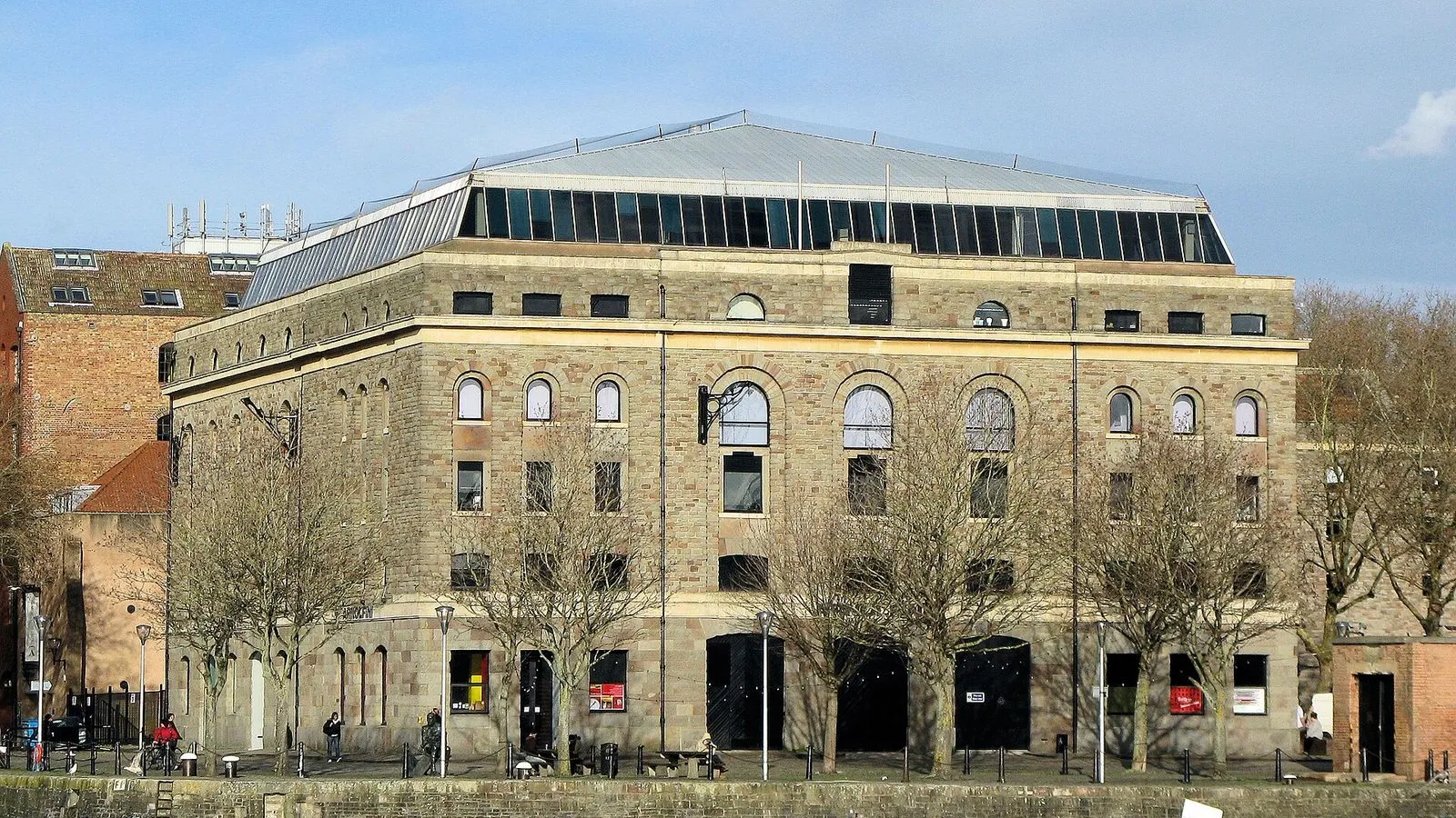
You're at Bush House, a nineteenth-century warehouse on Narrow Quay and home to the Arnolfini since October 1975. The gallery began in 1961, founded by Jeremy Rees with Annabel Lawson and the painter John Orsborne, at a time when Bristol had no permanent home for new art. When this building was refurbished, the gallery took the lower two floors and the offices above were let out. Entry is free, so walk in and take the stairs.

Before Bush House was ready, the Arnolfini worked out of the W shed a short way east, the transit shed that now holds the Watershed's cinemas, and it started a film programme there in March 1973. The two ends of this quay have traded roles ever since. The floors here were built to carry bales and crates rather than paintings, which is why the rooms are deep and the ceilings low, and it is still the quay's old job done in a new way: giving people a reason to stand at the water. The address is unchanged: 16 Narrow Quay.

≈1 min walk to the next stop
Prince Street BridgeLocal pick

Photo by Robert Eva on Wikimedia Commons

Prince Street Bridge

0:00

Where the harbour's held water begins, and the river goes around.

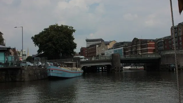
You're on Prince Street Bridge, and the water under it goes nowhere at low tide. It's a basin held at a level, which is exactly what the engineer William Jessop was hired to create, finishing the job in 1809. Before then, ships in the city's harbour settled into the mud twice a day as the tide dropped. Jessop's answer was a lock that kept the water in, and a channel dug around the harbour, the New Cut, to carry the tidal River Avon past the city.

What the lock could not fix was silt: the river brought mud in with it, the harbour filled up, and by the 1830s the problem threatened the trade. Isambard Kingdom Brunel was called in to design a solution, and you'll see his version working at the end of this walk, at Underfall Yard. Traffic still crosses this bridge, and the water beneath it holds its level.

≈3 min walk to the next stop
Free preview ends here · stops 4 to 8 continue in the app

M Shed

Free city museum in a 1950s transit shed, with cranes on the quay.

in app

Wapping Wharf

The CARGO containers: small shops and lunch counters on the quay.

in app

Wapping Railway Wharf

Quay walkway named for the dock railway that ran until 1964.

in app

SS Great Britain

Brunel's iron ship, in the dry dock she was launched from in 1843.

in app

Underfall Yard

Free yard with the sluices that keep the harbour's water level.

in app
Good to know

Before you go

When are the harbourside museums open?

M Shed and the Arnolfini both close on Mondays. M Shed opens 10am to 5pm Tuesday to Sunday with free entry and donations welcome; Arnolfini's galleries and bookshop open 11am to 6pm Tuesday to Sunday, also free, with a harbourside bar alongside.

SourceM Shed, plan your visitArnolfini, visit
How much is the SS Great Britain, and when is it open?

Adult admission is £22 online or £25 on the door, and child tickets are £14.50 online or £16.50 on the door; the ticket brings you back free for a year. A day ticket from 2.30pm costs £13 online or £15 on the door. The Dockyards open Tuesday to Sunday, 10am to 5pm, and close on Mondays.

SourceBristol Dockyards, ticketsBristol Dockyards, visit
Where do I eat on the quay?

Wapping Wharf stacks small kitchens and shops into shipping containers a few steps off the quay, and the Arnolfini has a harbourside bar; check its own site for food times. Underfall Yard has its own café at the far end of the walk.

SourceArnolfini, visitUnderfall Yard, visit
Keep exploring

More walks in Bristol

Stokes Croft and MontpelierThe hidden side

Stokes Croft and Montpelier

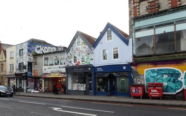
Banksy's teddy bear, a bombed-out gap nobody can agree on, a china workshop, a co-op café and a station painted with schoolchildren: one short street that has spent decades deciding who owns it.

7 stops1.2 km25+ min
North StreetThe hidden side

North Street

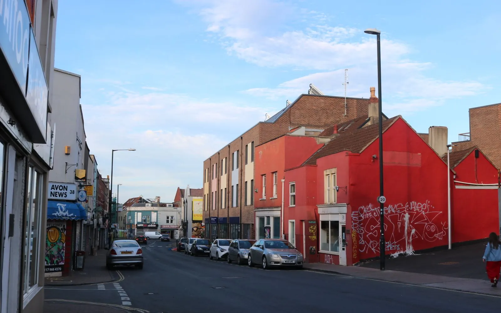
Ten minutes over the water from Wapping Wharf, North Street runs west through Southville: six murals above a row of shops, a bookshop worth crossing town for, and a tobacco works that became a theatre.

6 stops1.2 km20+ min
Old City and the Merchant QuarterThe local mix

Old City and the Merchant Quarter

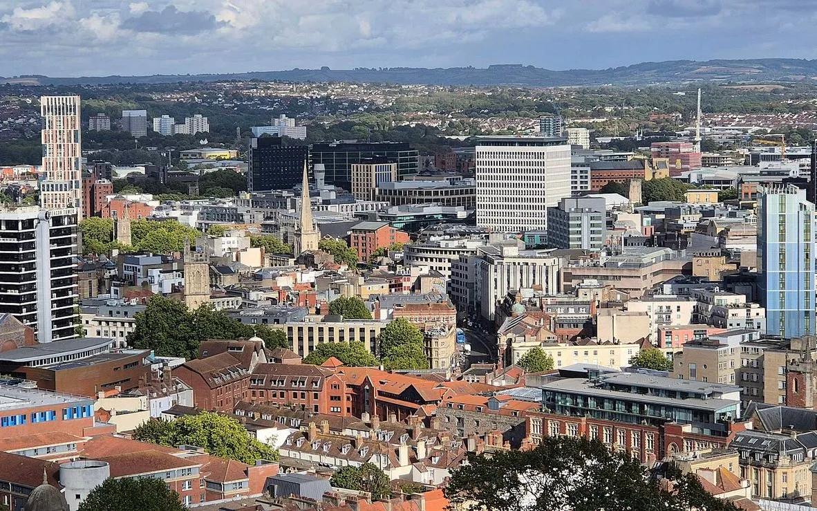
Bristol's old trading core still works: a cathedral, the city's most famous Banksy, a stairway finished in 1669, a market inside a 1743 exchange, a theatre that opened in 1766, and the merchants' Georgian square on the marsh.

9 stops2.4 km40+ min
Arnos Vale CemeteryThe local mix

Arnos Vale Cemetery

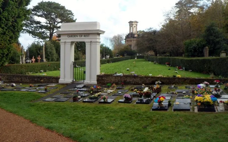
45 wooded acres, free to walk in, a mile from Temple Meads: a walk from the Bath Road gates past Greek-revival chapels, the Rajah's chhatri, and up to a view over the city.

6 stops0.9 km20+ min
Gloucester RoadThe hidden side

Gloucester Road

Six stops on the middle stretch of Gloucester Road: sweets by the scoop, loose wholefoods, Turkish bakes, coffee, bread, a bookshop opened in 2021, and Bristol art with Cary Grant on the wall.

6 stops0.9 km20+ min
Clifton Village and the Suspension BridgeThe local mix

Clifton Village and the Suspension Bridge

A Georgian village on the edge of a gorge, an observatory in an old windmill, and a bridge you cross on foot. Lanes, views and engineering, ending at a free museum on the far side.

8 stops2 km35+ min

Provenance · last verified September 27, 2026

Built from the Wayside route itself: the stops, their order, and the walk between them.

Photo by Lewis Clarke on Wikimedia Commons · CC BY-SA 2.0

Photo by Steve Daniels on Wikimedia Commons · CC BY-SA 2.0

Photo by Photographed by Adrian Pingstone on Wikimedia Commons · Public domain

Photo by Robert Eva on Wikimedia Commons · CC BY-SA 2.0

Photo by Eirian Evans on Wikimedia Commons · CC BY-SA 2.0

Photo by David Howard on Wikimedia Commons · CC BY-SA 2.0

Photo by Captain Galaxy on Wikimedia Commons · CC BY 4.0

Photo by Jaggery on Wikimedia Commons · CC BY-SA 2.0

Photo by Derek Harper on Wikimedia Commons · CC BY-SA 2.0

Photo by Jarred Kyle on Unsplash

Coming soon

Wayside isn't in the app stores yet, but it's in the works. Check back soon.